How I got here
I started in geospatial work — mapping land, water, and terrain. What I found in every project was the same underlying problem: the data existed, but the people who needed to act on it could not read it.
That is what pulled me from GIS into procurement and then into data analytics. At Lembaga Kebijakan Pengadaan Barang/Jasa Pemerintah (LKPP) I watched a catalogue platform process trillions of rupiah while a single user struggled to complete a payment. At Badan Gizi Nasional I watched a national priority programme run on Excel files.
My work has followed one line since then: build the layer between raw operational data and the person who has to make a decision. Sometimes that is a dashboard. Sometimes it is a reconciled dataset nobody else could join. Sometimes it is a training session so a regional officer stops needing to call me.
The roles look scattered on paper — surveying, procurement, analytics. They are one job with three vocabularies: find out what the data actually says, then make it possible for someone else to act on it.
Three things that do not change with the tooling
Owns the logic, not just the output
- Every system here was built from the data model up.
- Which source is authoritative, how records join, what the number cannot tell you.
- Tooling changes; that reasoning is the part I keep.
States the limits
- Figures are approximate where the source is aggregate.
- One project is published as unfinished, because it was.
- A claim without its boundary is worth less than the boundary.
Builds for the reader
- Written for the person with five minutes and a decision.
- Not for the analyst who already knows the dataset.
Working stack: Looker Studio, Metabase, BigQuery, Apps Script, SQL, ArcGIS, QGIS. AI assistants are used as tooling inside that pipeline — each output is checked against the source data before it is used.
What I am looking for
- Data analytics, monitoring and evaluation, or reporting roles — especially where the data arrives messy from several systems.
- Geospatial and GIS work, particularly where location data feeds a decision rather than a map.
- Digital transformation, procurement systems, or operations support in public-sector programmes.
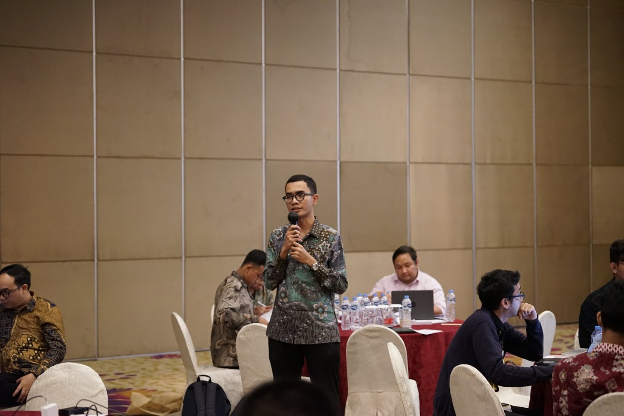
When I get excited about something, I get very passionate, And when I get passionate, I Win– Naufal Ian Fadillah
Certifications & training
Each card opens the certificate file itself. No personal identification numbers are published.
Certified competence
BNSP Data Analyst Certification
Competency certification for the Data Analyst occupation, data management field. Reg. No. ICT 2639 000066 2025 · certificate No. 63112 2511 6 000066 2025.
View certificate →Data & analytics
Geospatial
Akuisisi Data Spasial dan Pengenalan QGIS untuk Pertambangan
Spatial data acquisition and an introduction to QGIS for mining — a 150-minute session.
View certificate →Basic GIS (Geographic Information System) using GIS Software
Training held 28–29 January and 1–2 February 2023. No. GIS-II-23-ATI-6687843257.
View certificate →