GIS Officer
What I learned here
What a GIS team looks like when the client is not a government office. Here the map is not a report — it is an operating instrument. A wrong boundary line becomes a planting decision, and a slope assessment becomes a road that does or does not get built.
The work, in summary
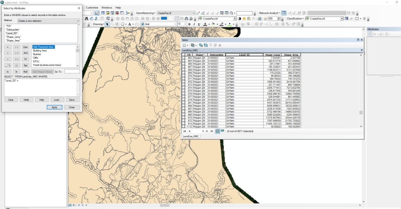
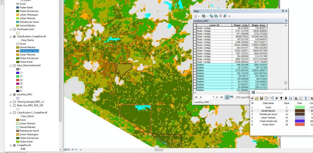
Maintained the spatial databases behind plantation operations: boundaries, blocks, roads, waterways, and infrastructure. Produced thematic maps on land use, soil, drainage, and development stage, and ran terrain, slope, and elevation analysis to support planting and replanting decisions. Worked in English with foreign management and seven other departments.
Achievements
- Produced and maintained the spatial datasets and thematic maps that plantation planning, monitoring, and reporting were built on.
- Supported decisions on planting, replanting, irrigation, transportation, and operational planning through terrain and slope analysis.
- Worked daily in English across a multicultural management structure — agronomy, finance, sustainability, legal, HR, and administration.
Documentation
Photographs from this period.
Spatial databases behind plantation operations
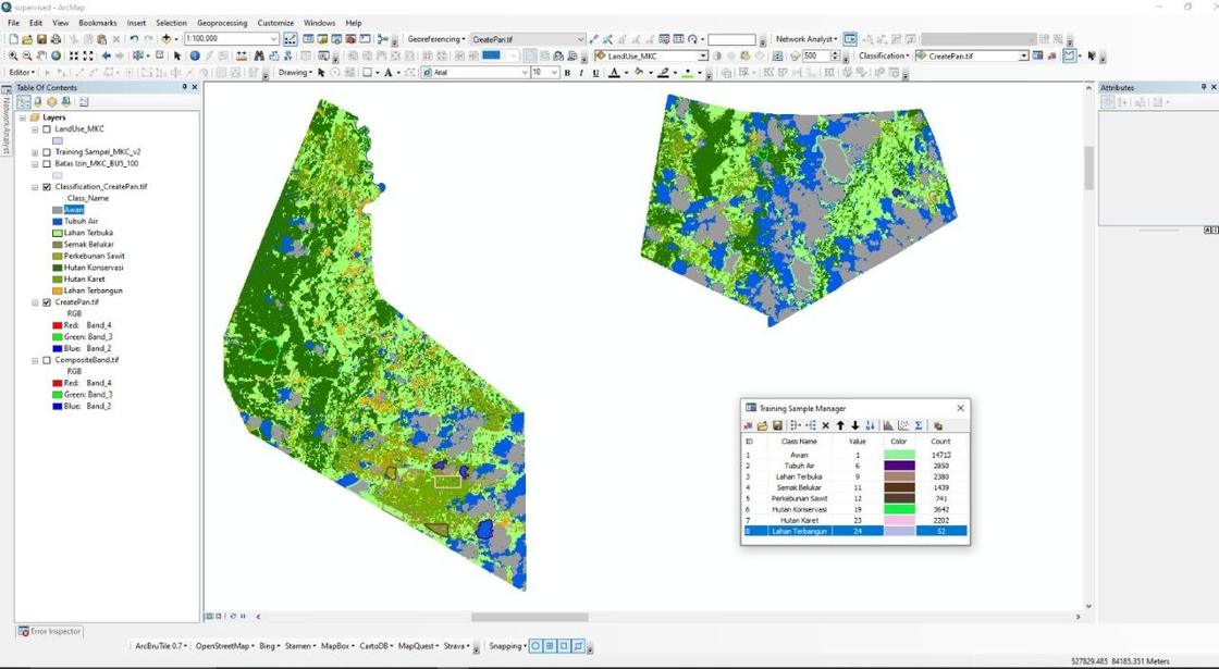
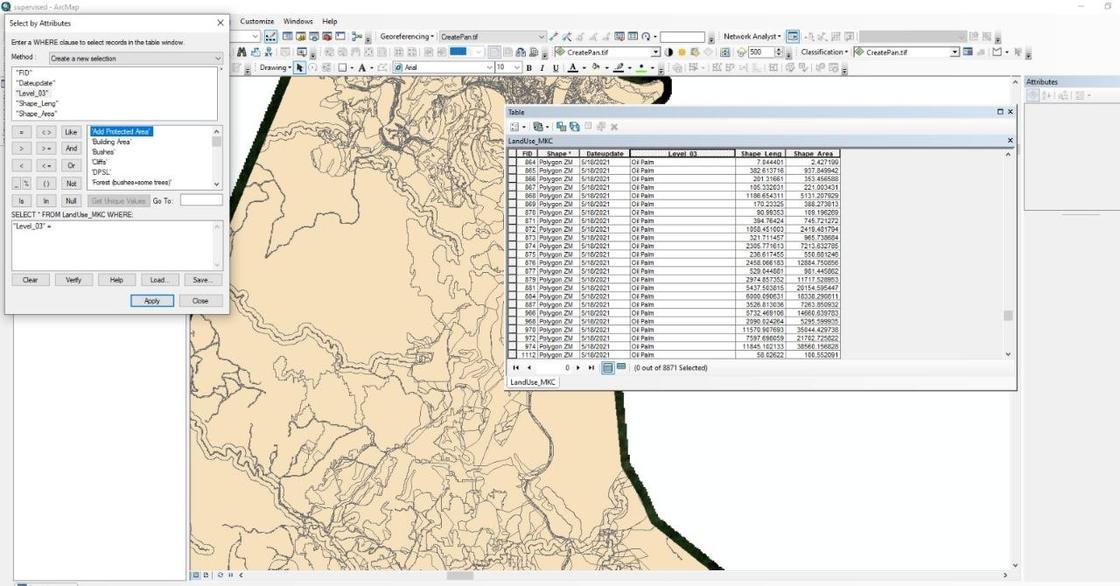
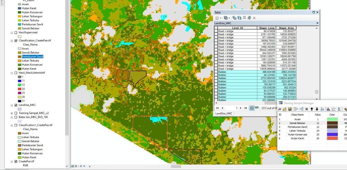
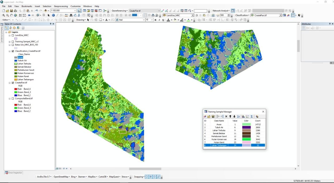
4 photosLand-cover classification and the parcel attribute tables behind it, the QGIS land-use layers the planning team worked from, and the office where the work was handed over. Planning decisions ran on these datasets: boundaries, blocks, roads, waterways, and the development stage of each block.