GIS Engineer
What I learned here
How a provincial government builds and owns a land asset database — and how much of that work is agreement rather than software. Every layer had to be defensible in front of officials who would have to sign for it, which is where I learned to document spatial data properly instead of trusting it.
The work, in summary
Built the geospatial side of a land asset project: consolidating parcel and asset data into one database, then integrating it into WebGIS so officials could query it rather than request a map.
Achievements
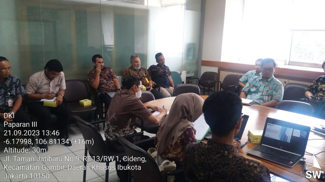
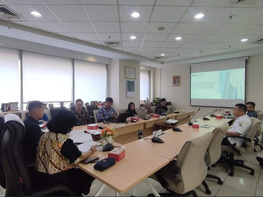
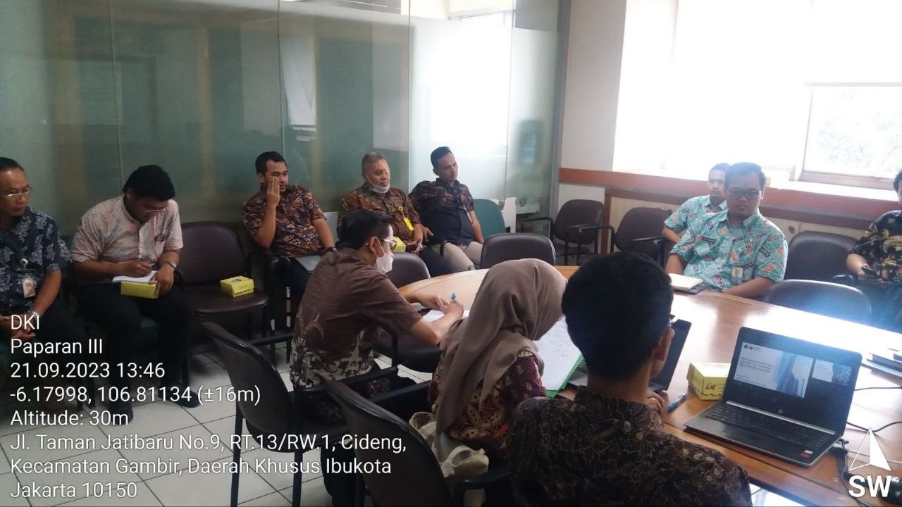
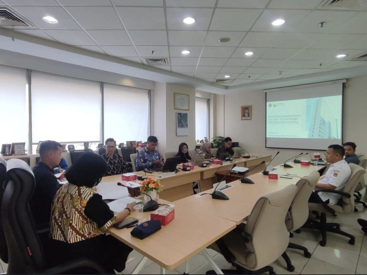
- Completed the land asset project approximately one month ahead of schedule, and presented the results to experts and officials within the provincial government.
Documentation
Photographs from this period.
Land asset database and WebGIS integration
2 photosThe land asset geospatial database for Dinas Perumahan Rakyat dan Kawasan Permukiman DKI Jakarta, and its WebGIS integration — delivered about a month ahead of schedule and presented to experts and officials within the provincial government.