Work
Seven roles, newest first. Each section covers what I learned there, what the work involved, the achievements that went beyond the job description, and the documentation from that period. Photographs are from my own work; anything identifying is masked.
Data Analyst
What I learned here
How a national priority programme actually runs — and why the data layer is where most of its problems surface. A programme of this size is not short of data; it is short of people who can read it. Working here taught me to build for the person who has to make a decision before lunch, not for the analyst who already understands the dataset.
The work, in summary
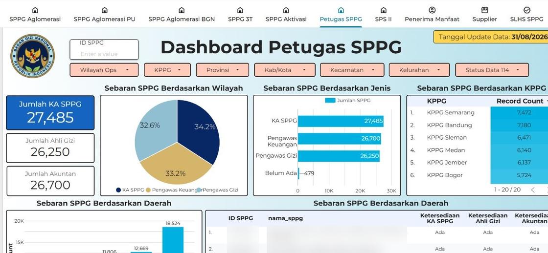
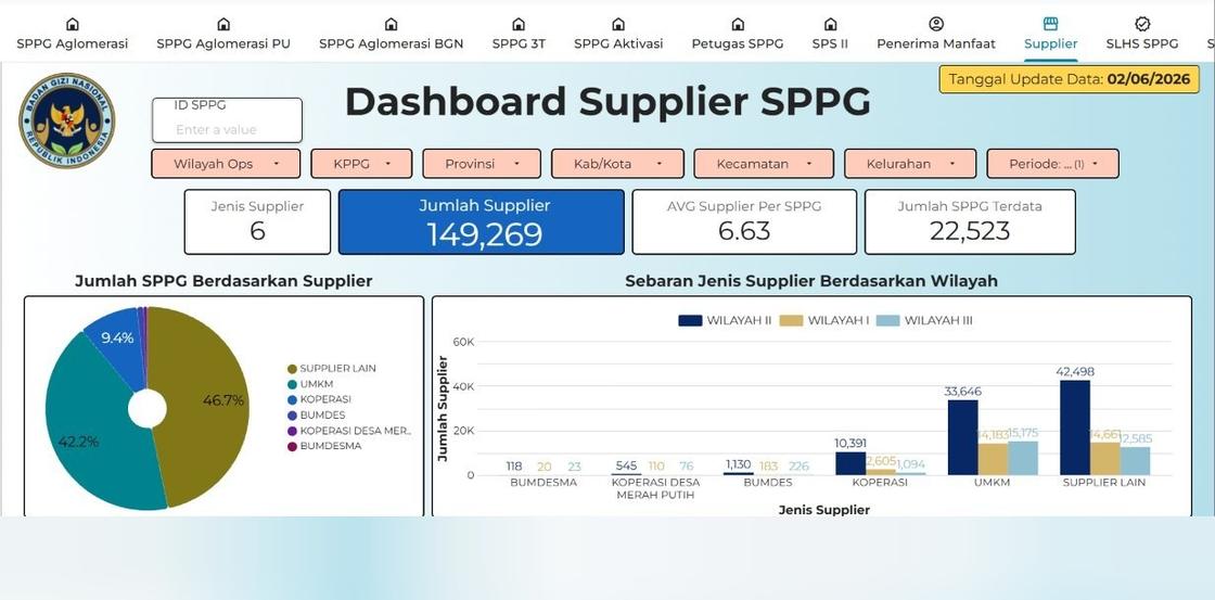
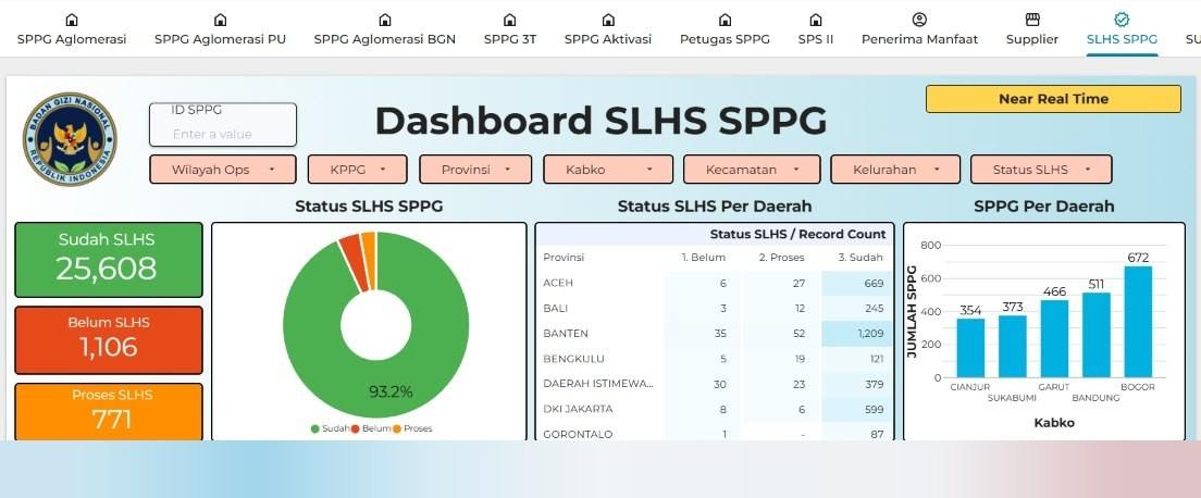
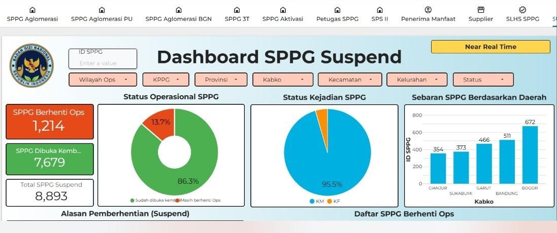
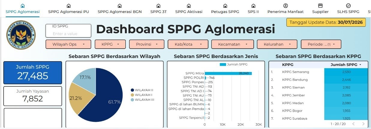
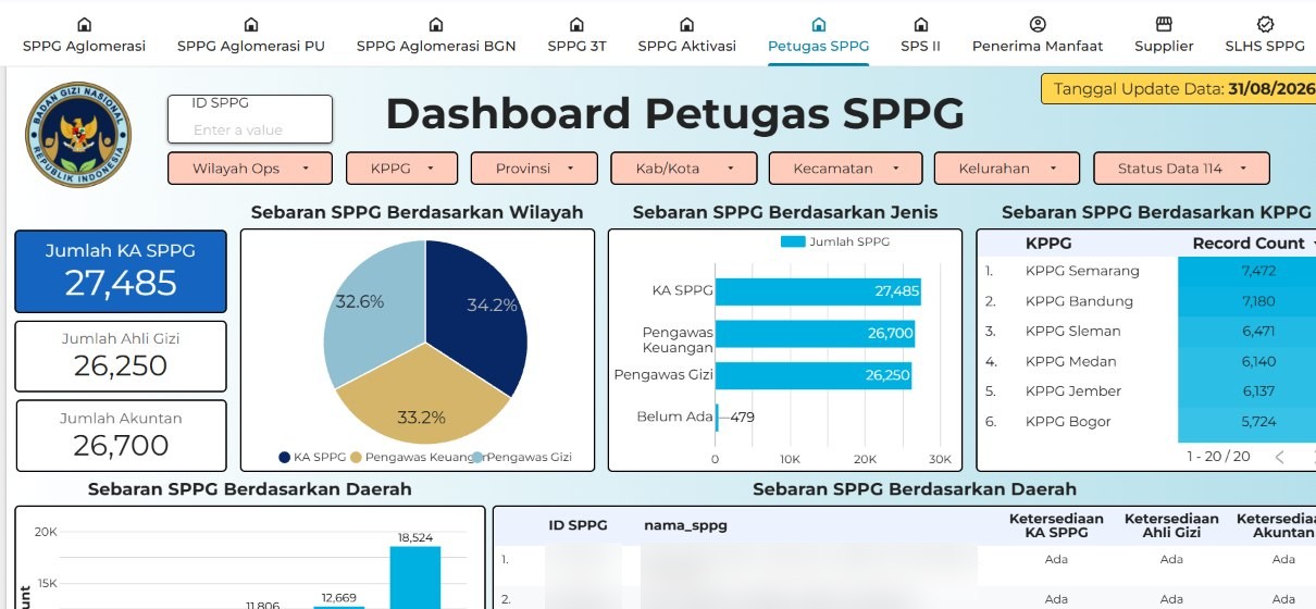
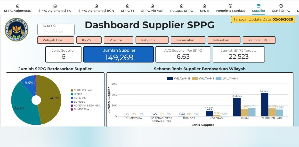
I build the reporting and monitoring layer for the national school nutrition programme (Makan Bergizi Gratis). In practice that means taking data that arrives as separate spreadsheets from different units, reconciling it against our own records so the totals agree, and turning it into dashboards the directorate opens directly. Six systems are in use today, covering SPPG operations, staffing, beneficiaries, suppliers, hygiene certification, and suspension.
Achievements
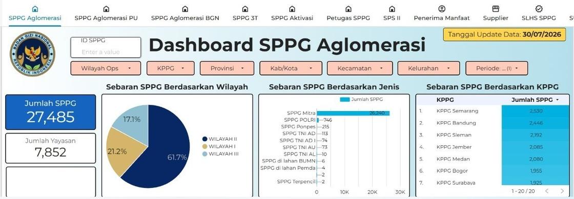
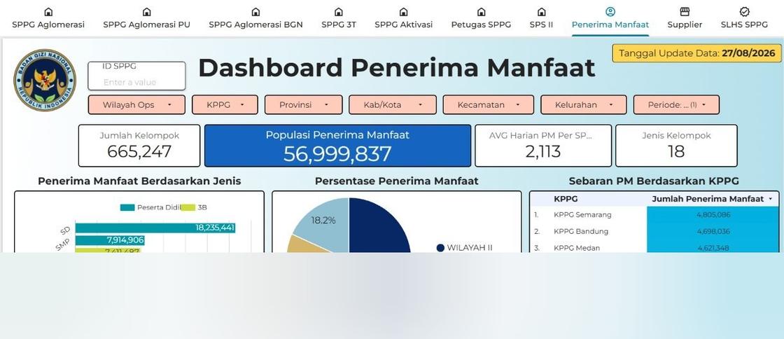
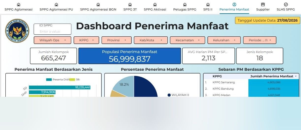
- Built a real-time executive dashboard covering approximately 27,000 Satuan Pelayanan Pemenuhan Gizi (SPPG) units and 58 million programme beneficiaries, replacing static Excel reporting with filterable reporting accessible from any device, at no licensing cost.
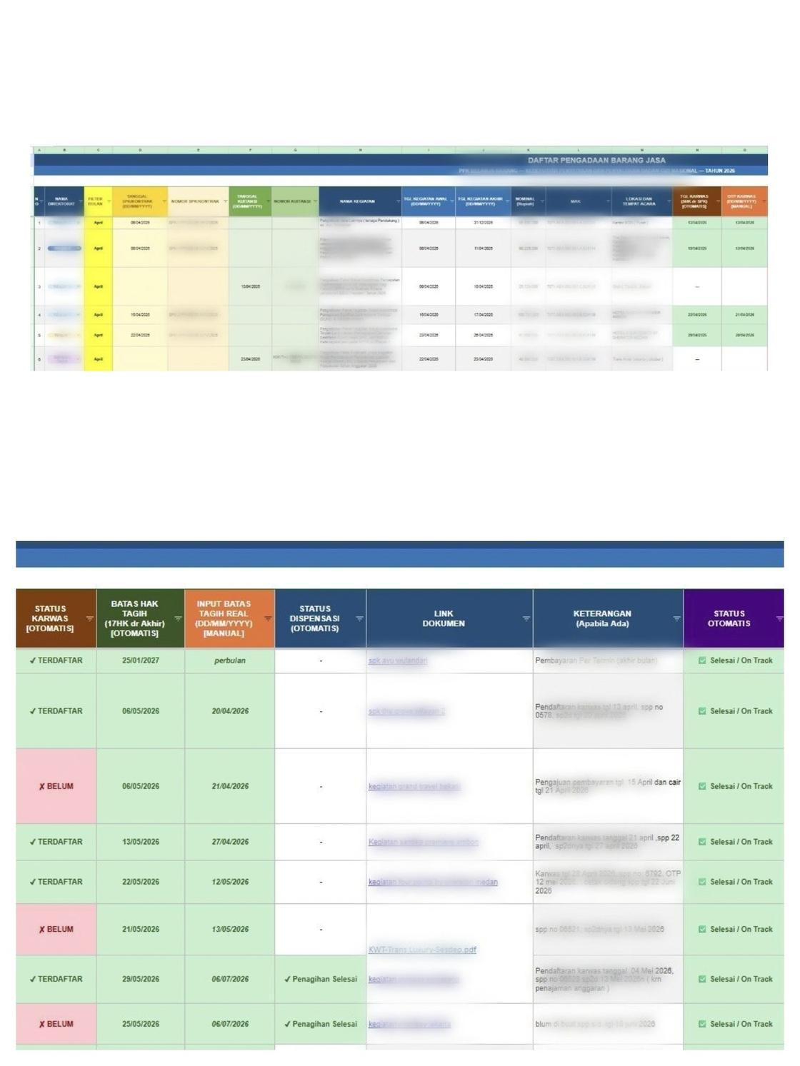
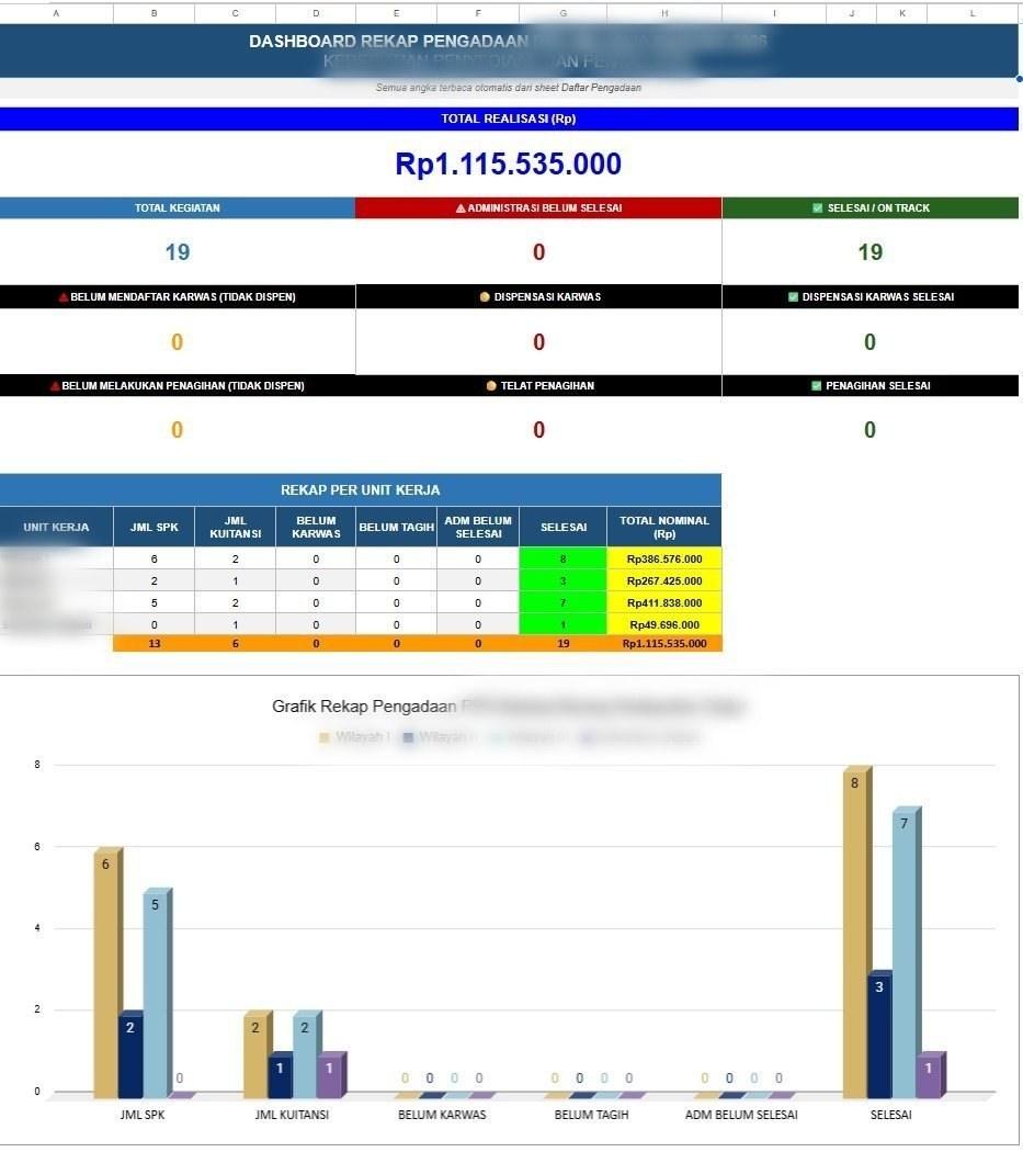
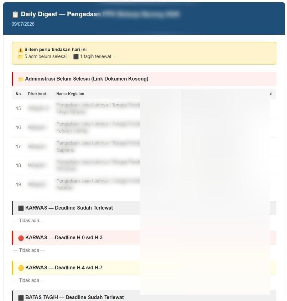
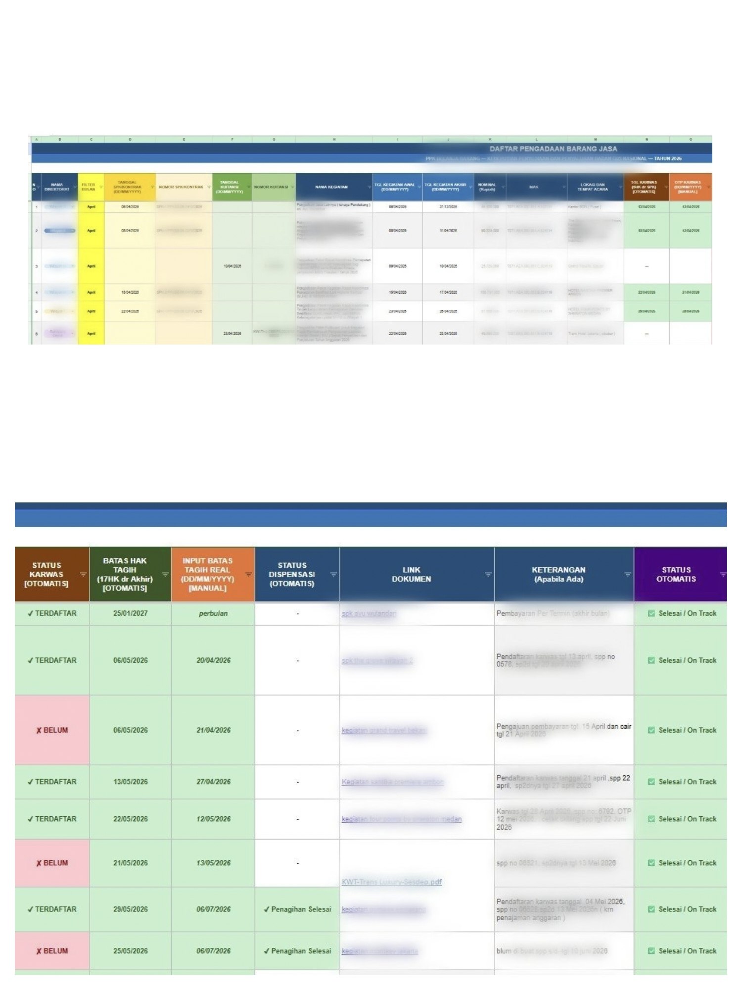
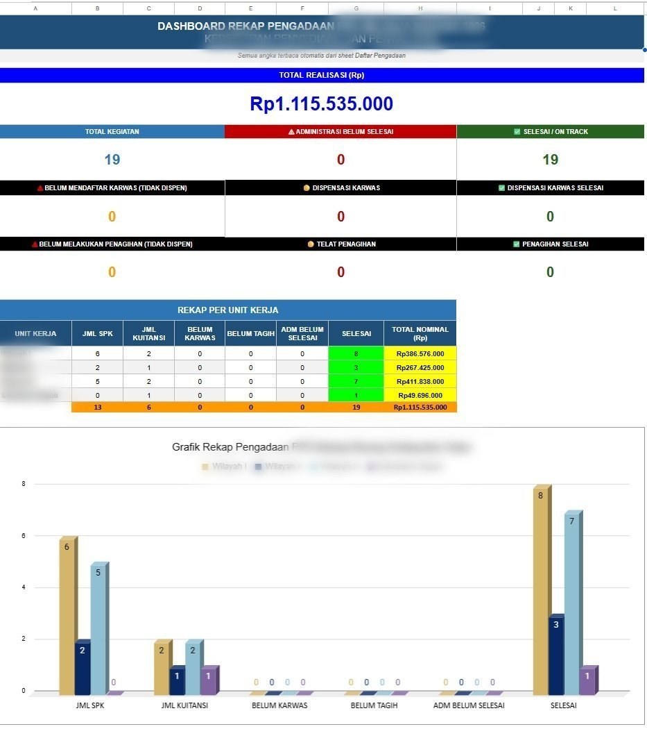
- Developed a procurement monitoring system across four directorates, consolidating roughly Rp1.1 billion in recorded transactions with payment status, administrative completeness, and delay tracking — establishing a single source of truth where the true volume had never been visible in one place.
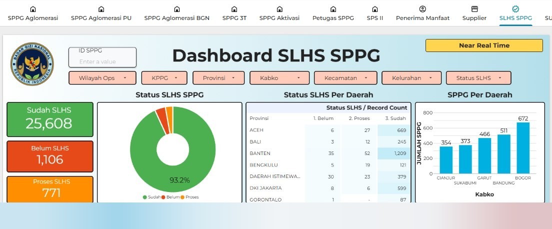
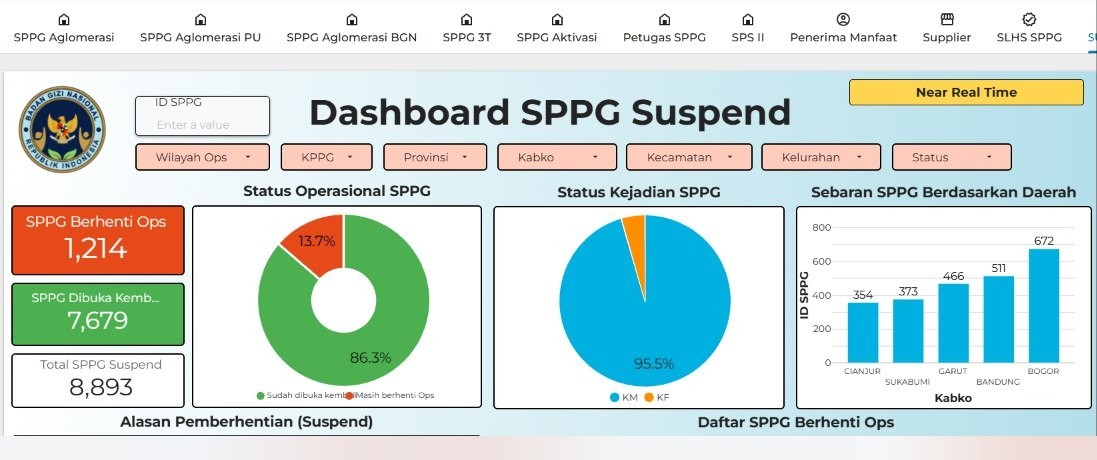
- Built a suspension dashboard that integrates data from another directorate through a live import-range with a backup fallback, replacing a single-user spreadsheet with a real-time executive summary.
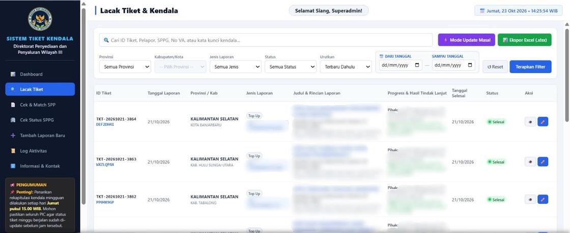
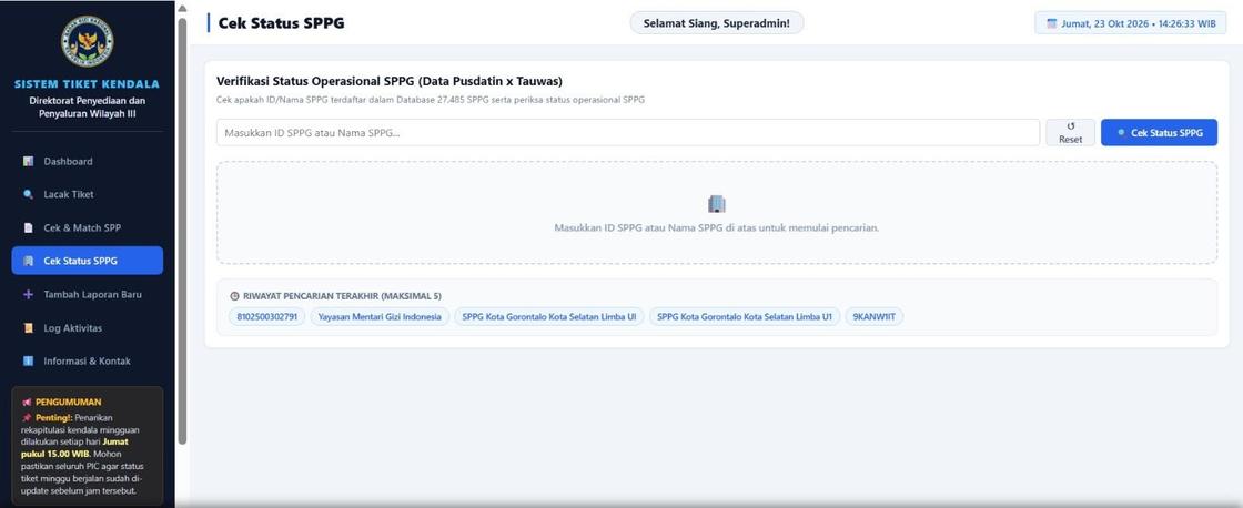
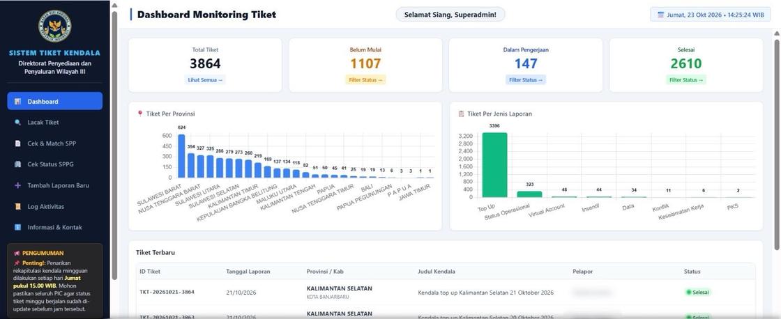
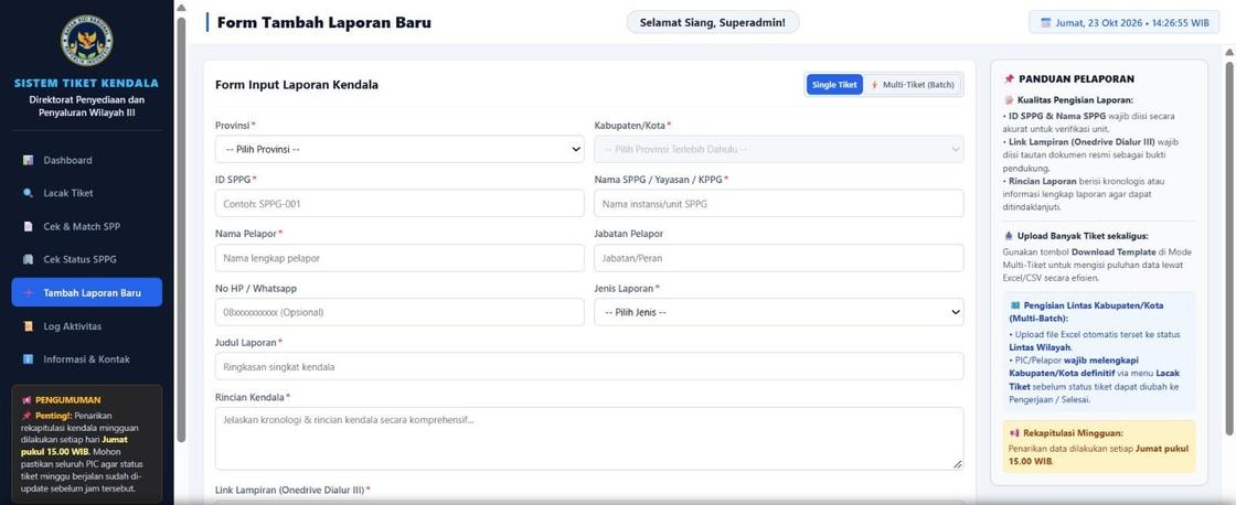
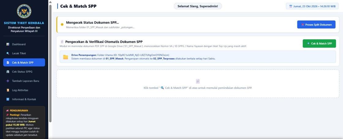
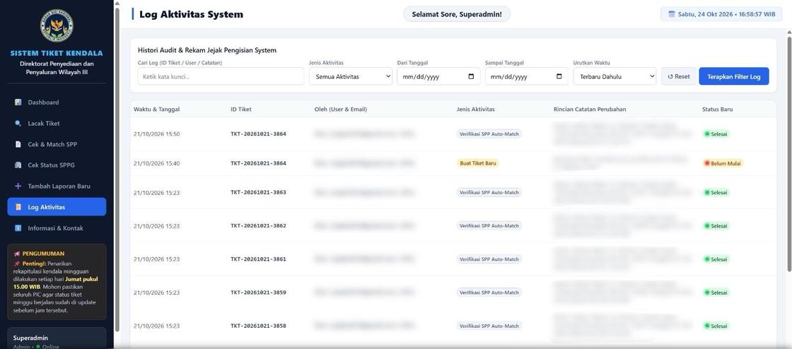
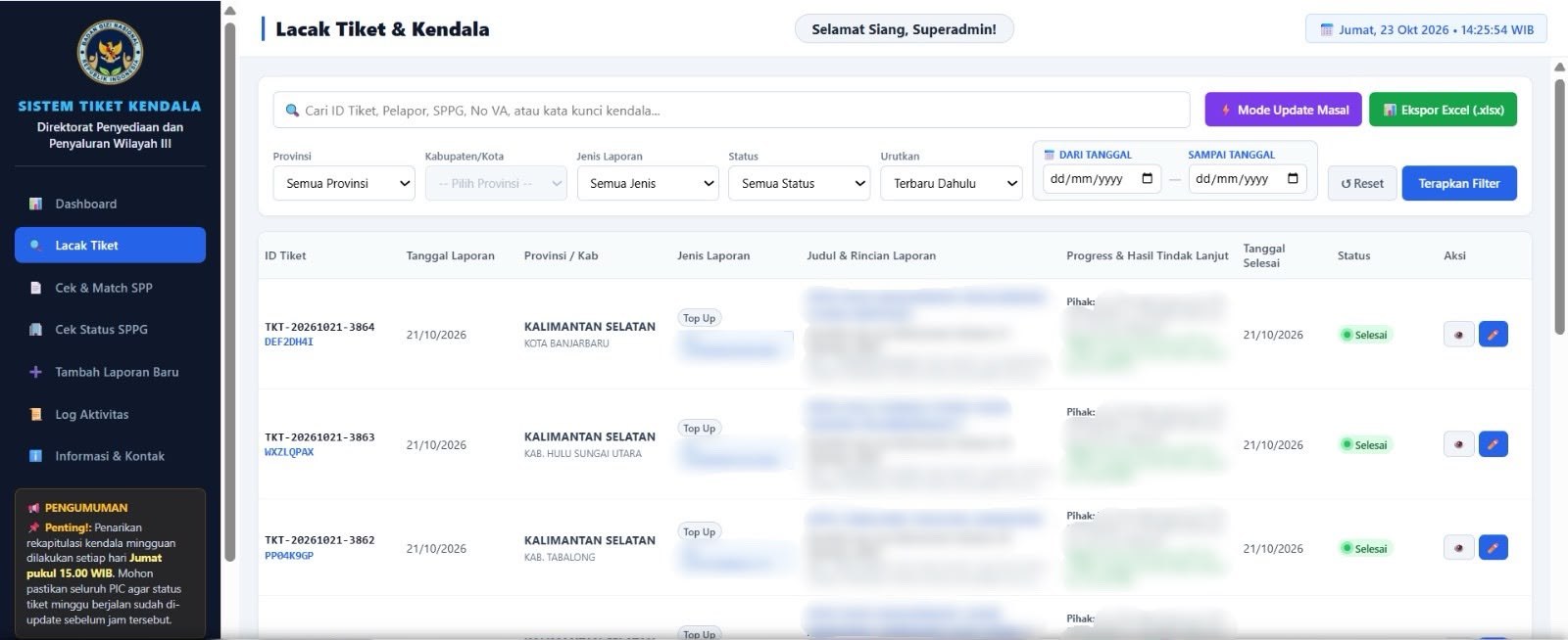
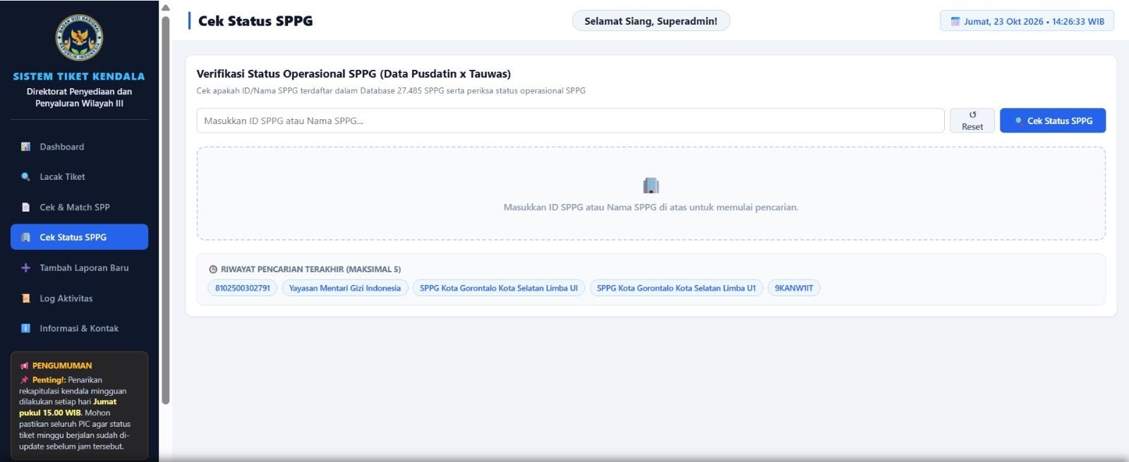
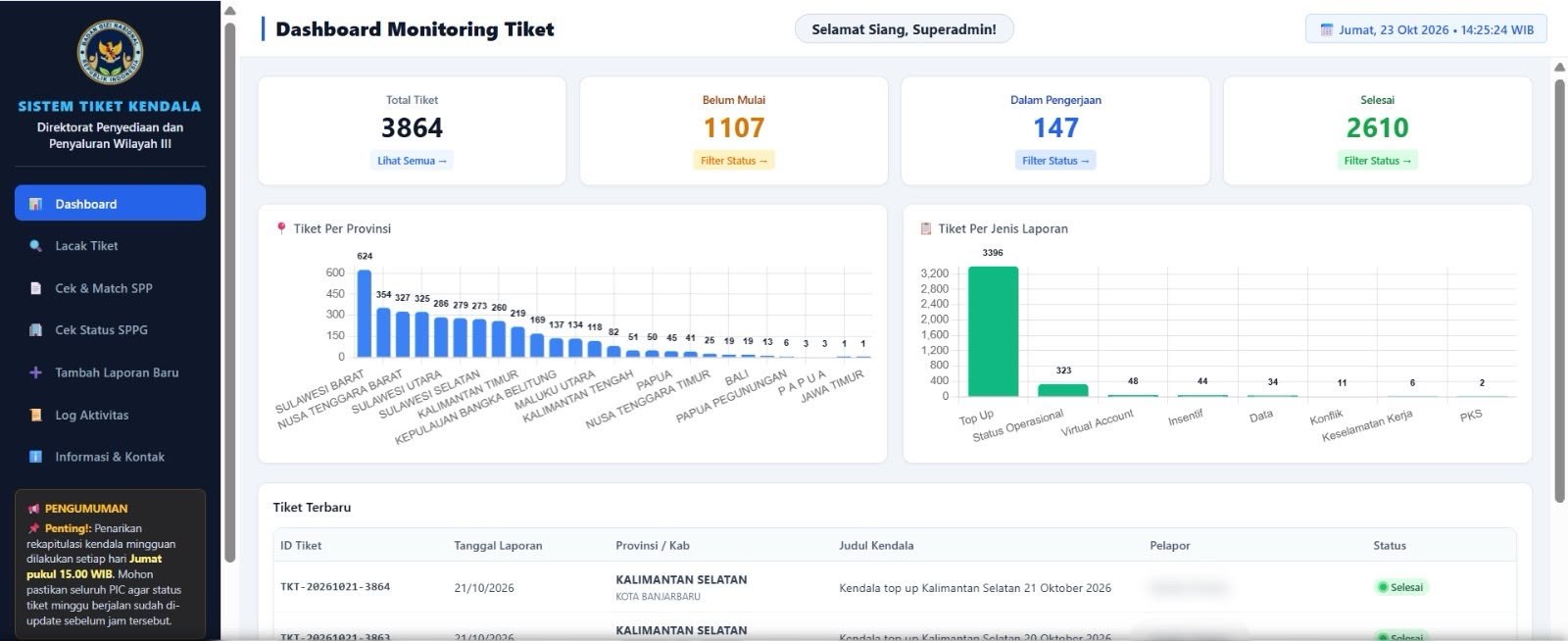
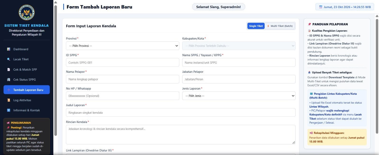
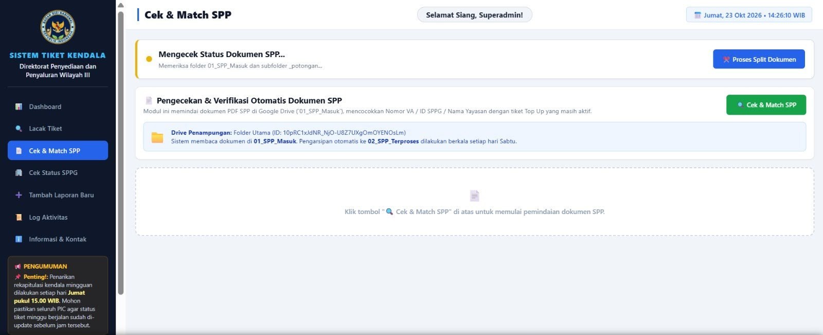
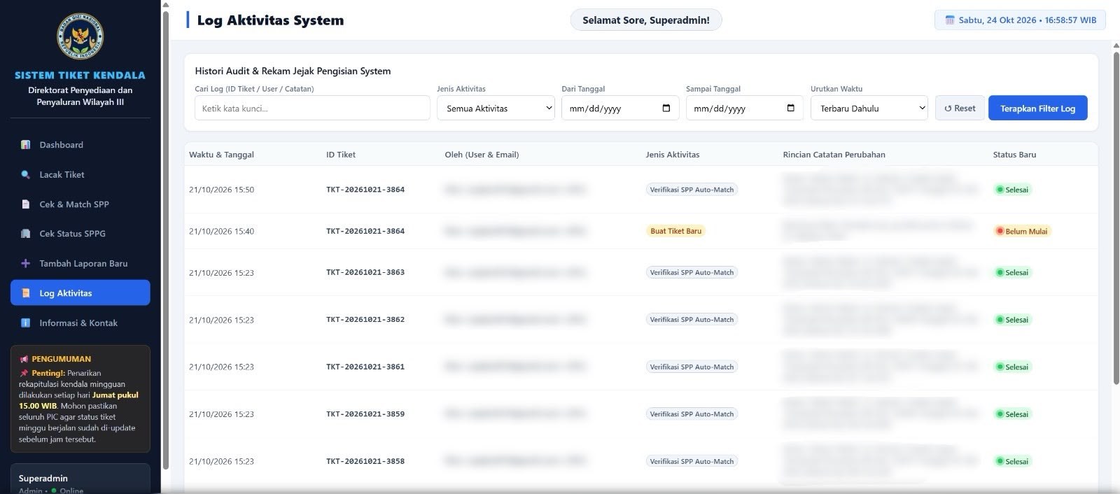
- Built Sistem Tiket Kendala, the field issue ticketing system now carrying the directorate’s operational problems. Reports previously arrived scattered across WhatsApp, letters, chat, and conversation, so nothing could be tracked to closure; the system registers every report with an auto-generated ticket number, adds an SPPG operational status check to separate operational faults from other causes, matches SPPG payments, recaps tickets and volume per province on a dashboard, and keeps a user activity log — with role-based access so each regional PIC works only their own area. It is now the standard input for the directorate’s decision meetings.
Documentation
Photographs from this period.
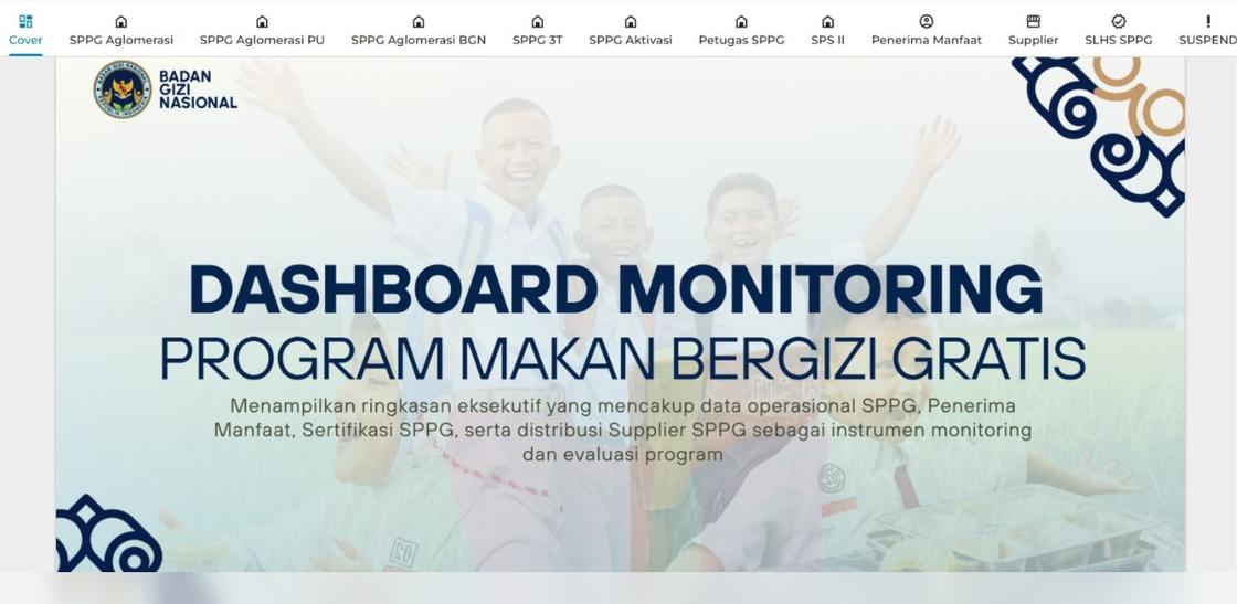
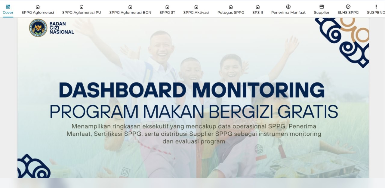
Dashboard Data Monitoring Program Makan Bergizi Gratis
7 photosOne entry point for the whole programme: SPPG operations, beneficiary numbers, certification status, and supplier delivery. Twelve modules sit behind it, each with filters and period downloads, open to the directorate’s internal users. Directors and the planning team open it themselves for the current picture instead of filing a request to the data team. SPPG and unit identifiers in these screenshots are masked; the underlying records are internal.
Procurement payment progress — working sheet, digest, and recap
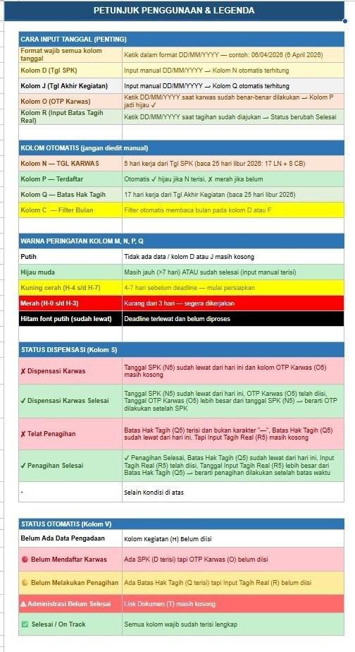
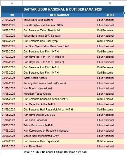
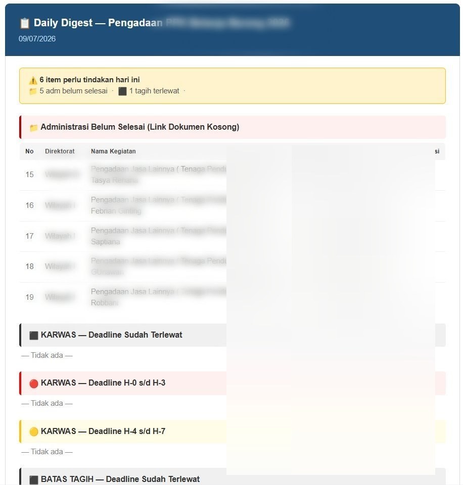
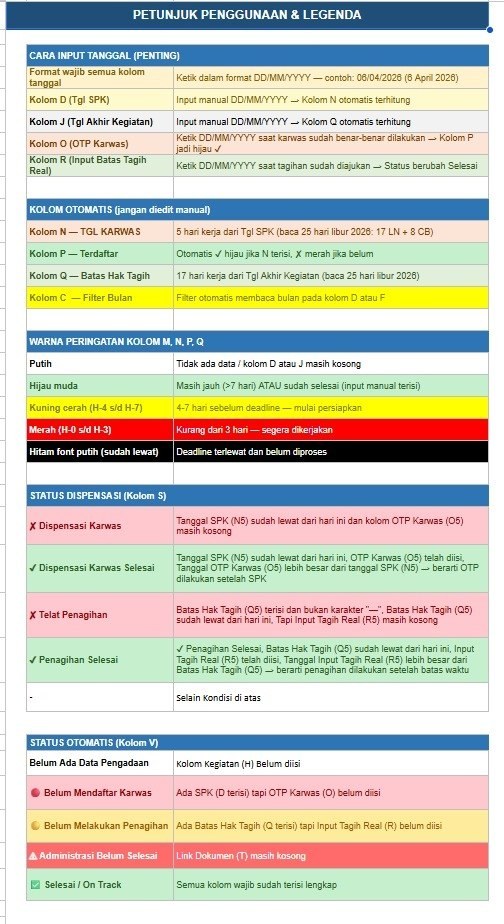
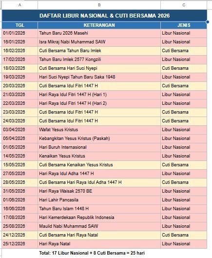
5 photosPayment after procurement used to run on scattered manual records. This working sheet became the single place the payment process is recorded: once a procurement is complete, its payment is entered here, and because the sheet reads the national holiday and joint-leave calendar, every deadline counts working days only. Each working day at 9am the four staff in the directorate’s procurement office receive a digest listing which records still lack administrative documents, which invoices are nearing their deadline, and which are already past it — so chasing and completing documents is something the system raises rather than something someone has to remember. A recap dashboard gives the director the current picture on demand.
Sistem Tiket Kendala — field issue ticketing system
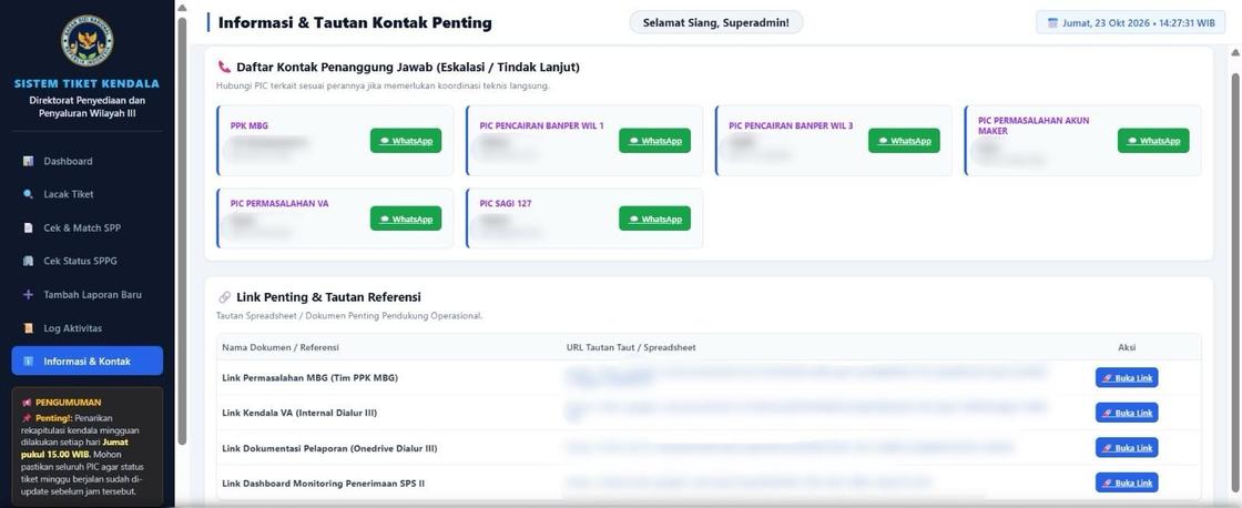
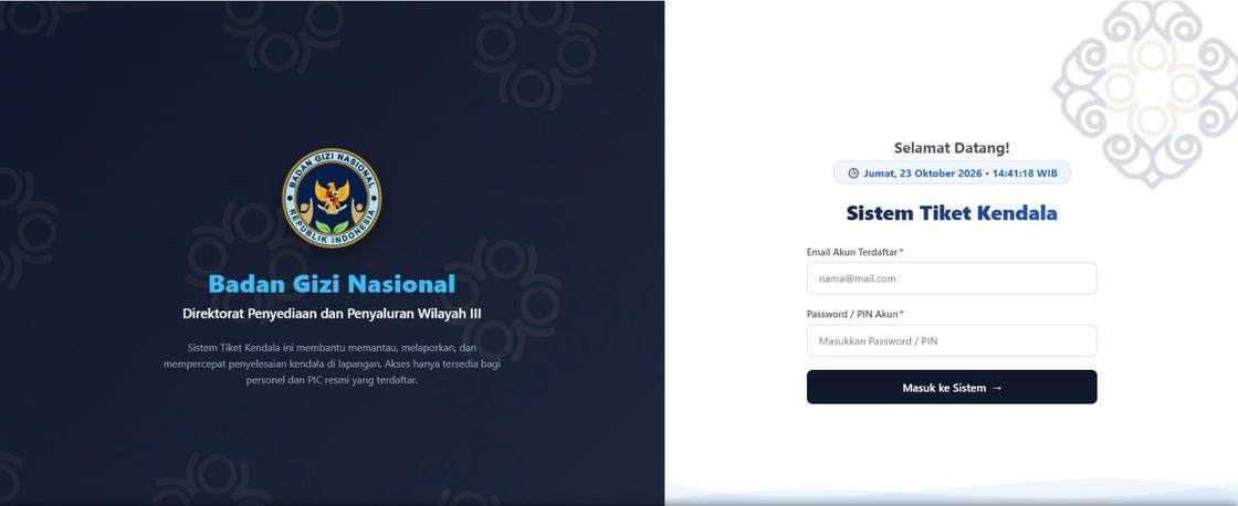
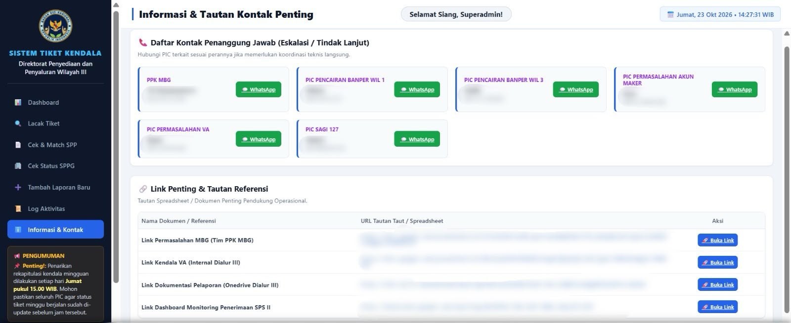
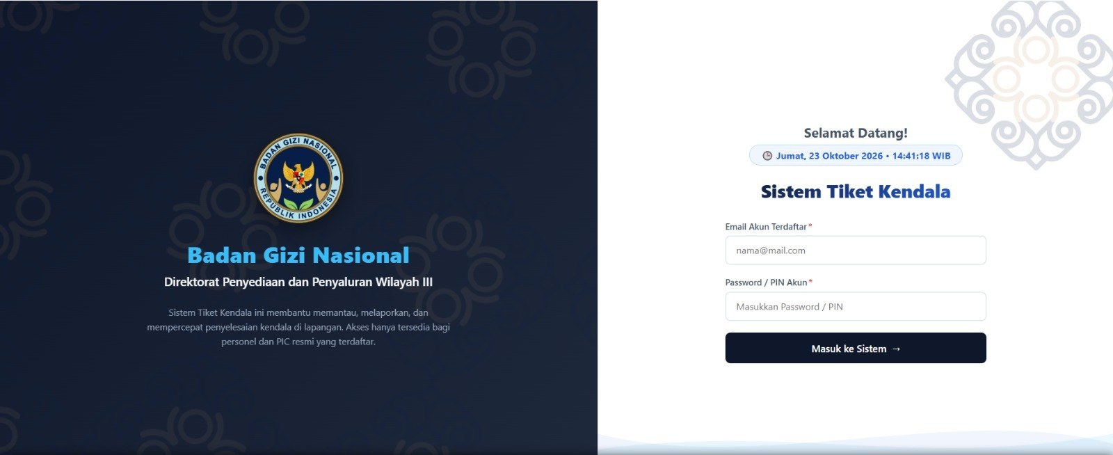
8 photosField problems reached the directorate through WhatsApp, letters, chat, and verbal reports — scattered enough that nothing could be tracked to closure. This system gives every report one place to land: an operational status check for SPPG so an operational fault can be told apart from any other cause, payment matching, a ticket recap dashboard, an activity log, and an escalation contact directory. Access is role-based, so each regional PIC works only their own area.
Case studies
GIS and Data Analyst
What I learned here
The geospatial side of a national programme, before the reporting systems existed. Working in the agency’s central data unit taught me what the programme’s data actually looks like at source — who enters it, where it breaks, and why a map is often the fastest way to find the fault.
The work, in summary
Geospatial and operational data work at the agency’s central data unit: spatial data preparation, thematic mapping, and the operational datasets the analytics team built on. This is also where I learned SQL and database management, and where the monitoring dashboards on Metabase were first built.
Achievements
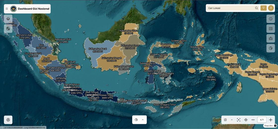
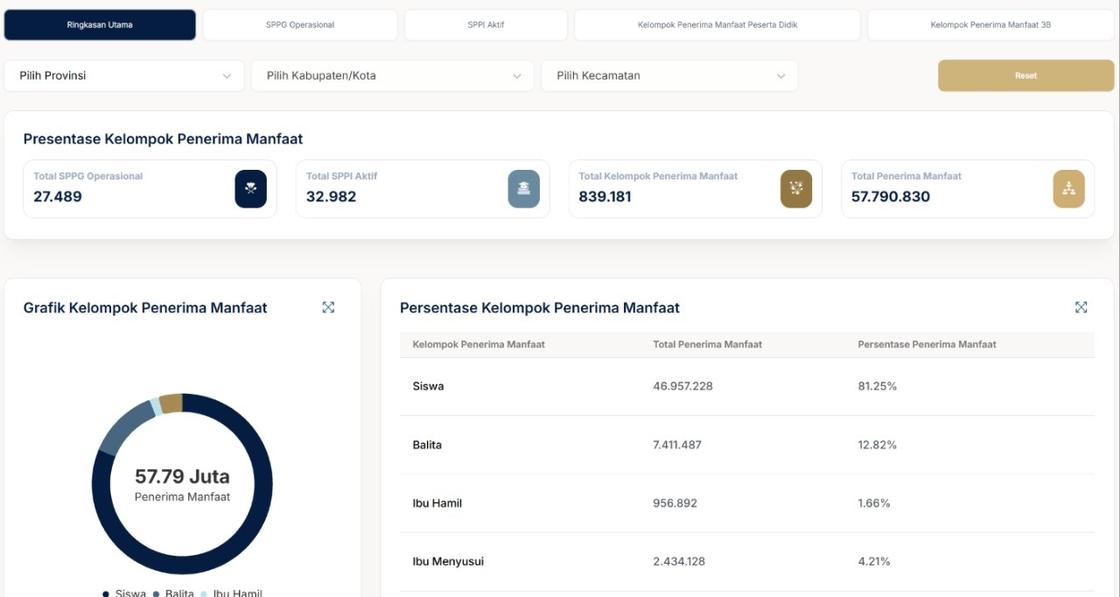
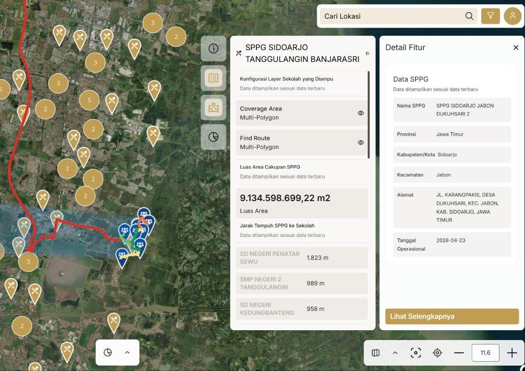
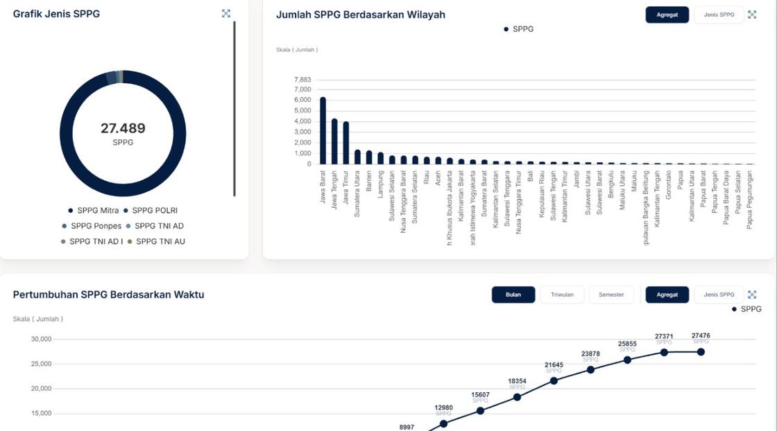
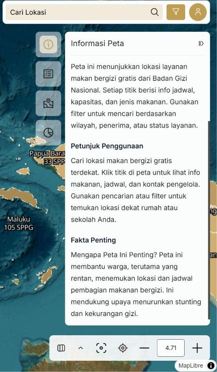
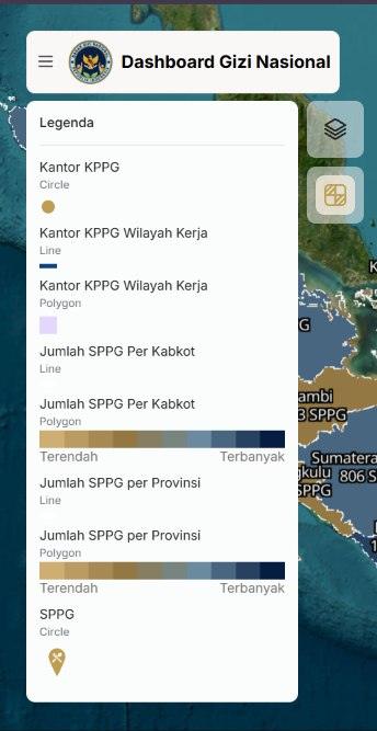
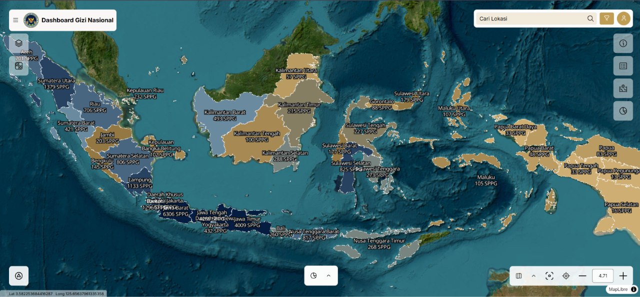
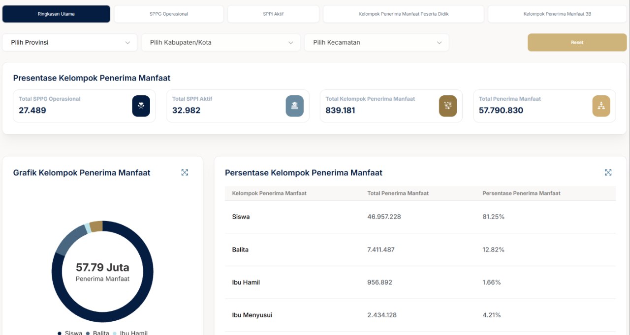
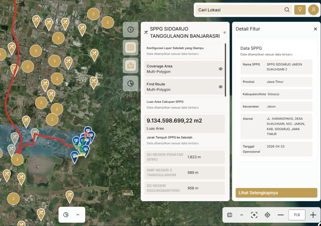
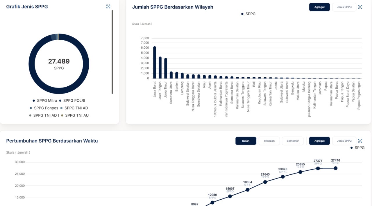
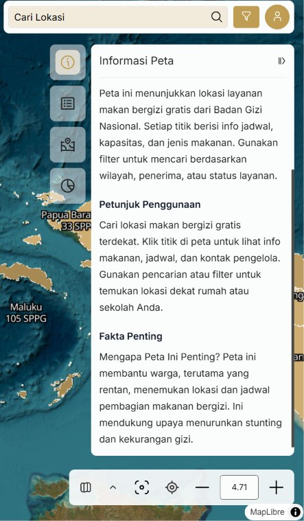
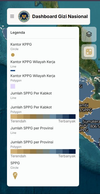
- Designed the concept and features of GINA, a geospatial platform for public access to programme data, including a distribution map down to province and district level, distance from each Satuan Pelayanan Pemenuhan Gizi (SPPG) unit to its schools, an executive dashboard covering SPPG, beneficiaries, and Sarjana Penggerak Pembangunan Indonesia (SPPI), and a tabular data menu with role-based downloads. The platform runs in active use behind a login; public release is pending approval and upstream data quality, both outside my scope.
- Built and maintained the real-time operational dashboards on Metabase, consolidating data from multiple source systems into a transit layer that decision makers could filter directly.
- Worked on the spatial data and thematic mapping behind the programme’s early geospatial outputs, and completed ISO/IEC 27001:2022 awareness training for handling programme data.
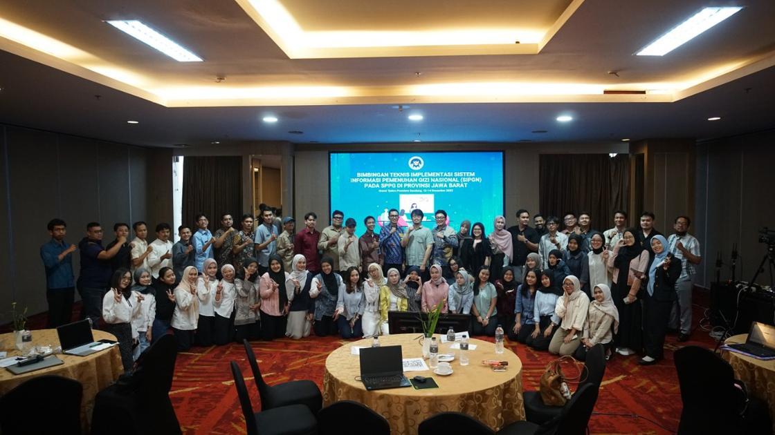
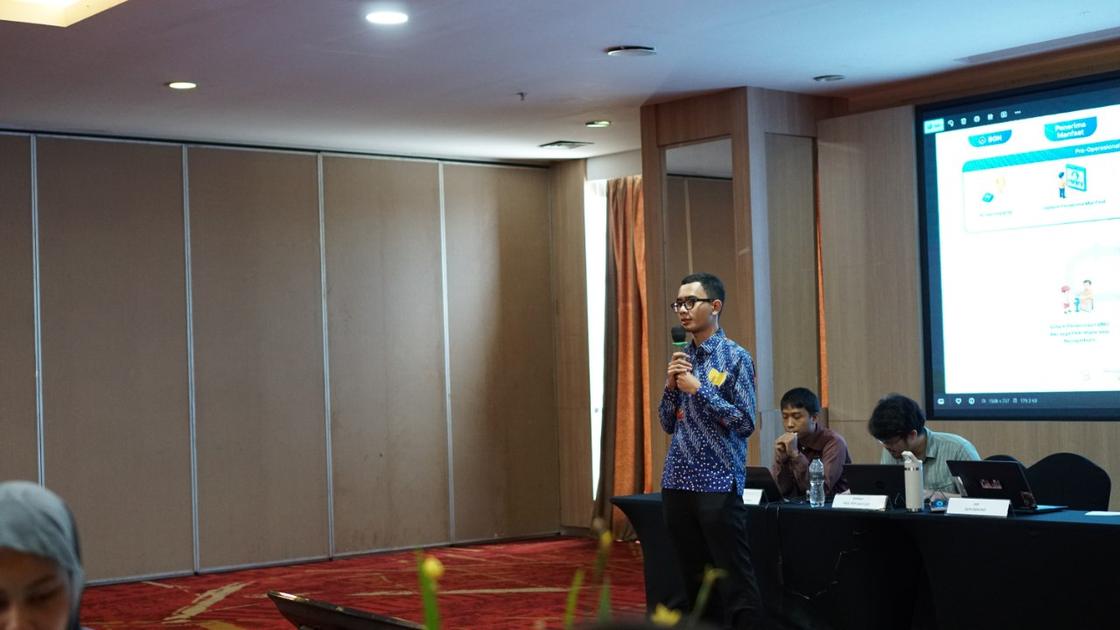
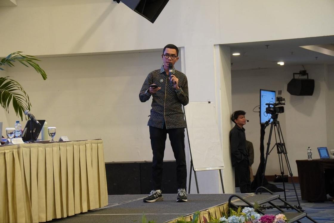
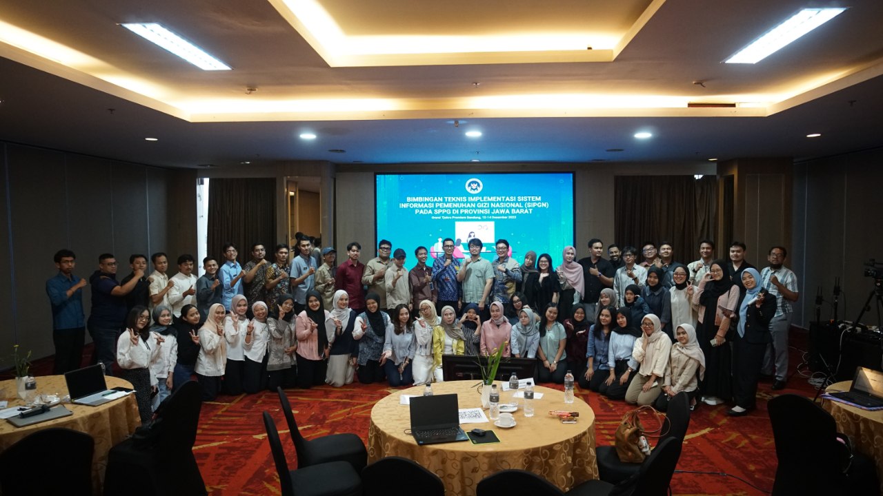
- Taught the Sourcing Management and ERP modules of Sistem Informasi Pemenuhan Gizi Nasional (SIPGN) to more than 100 participants from Satuan Pelayanan Pemenuhan Gizi (SPPG) units across West Java.
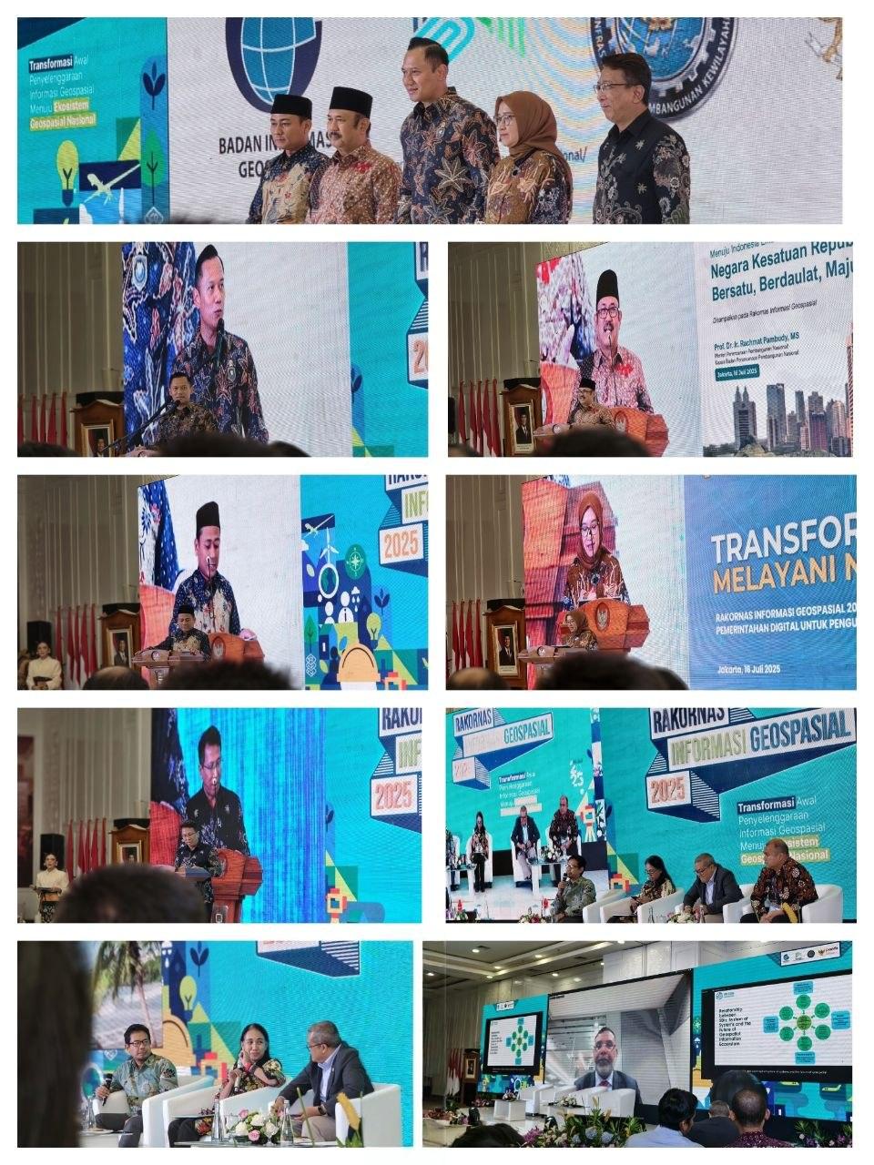
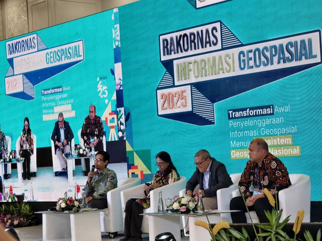
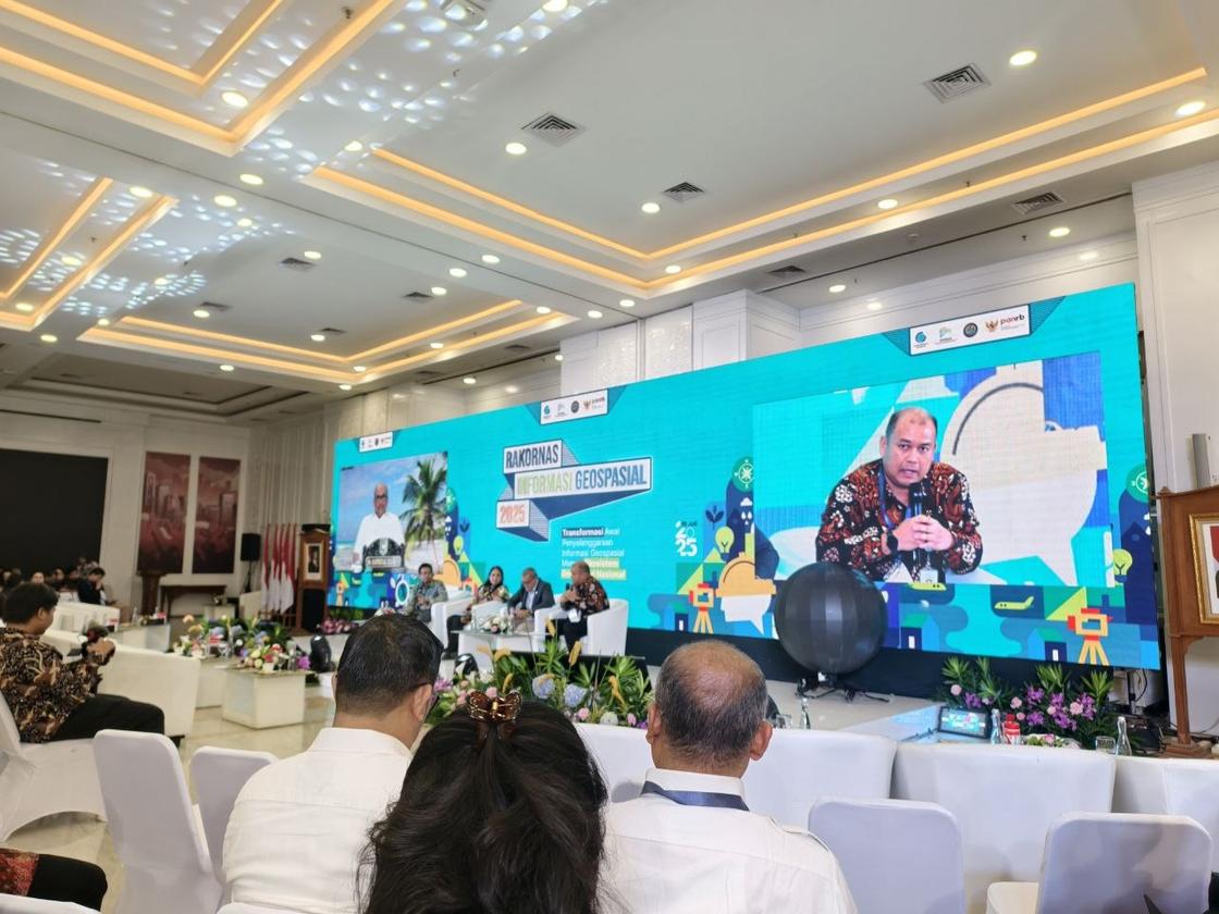
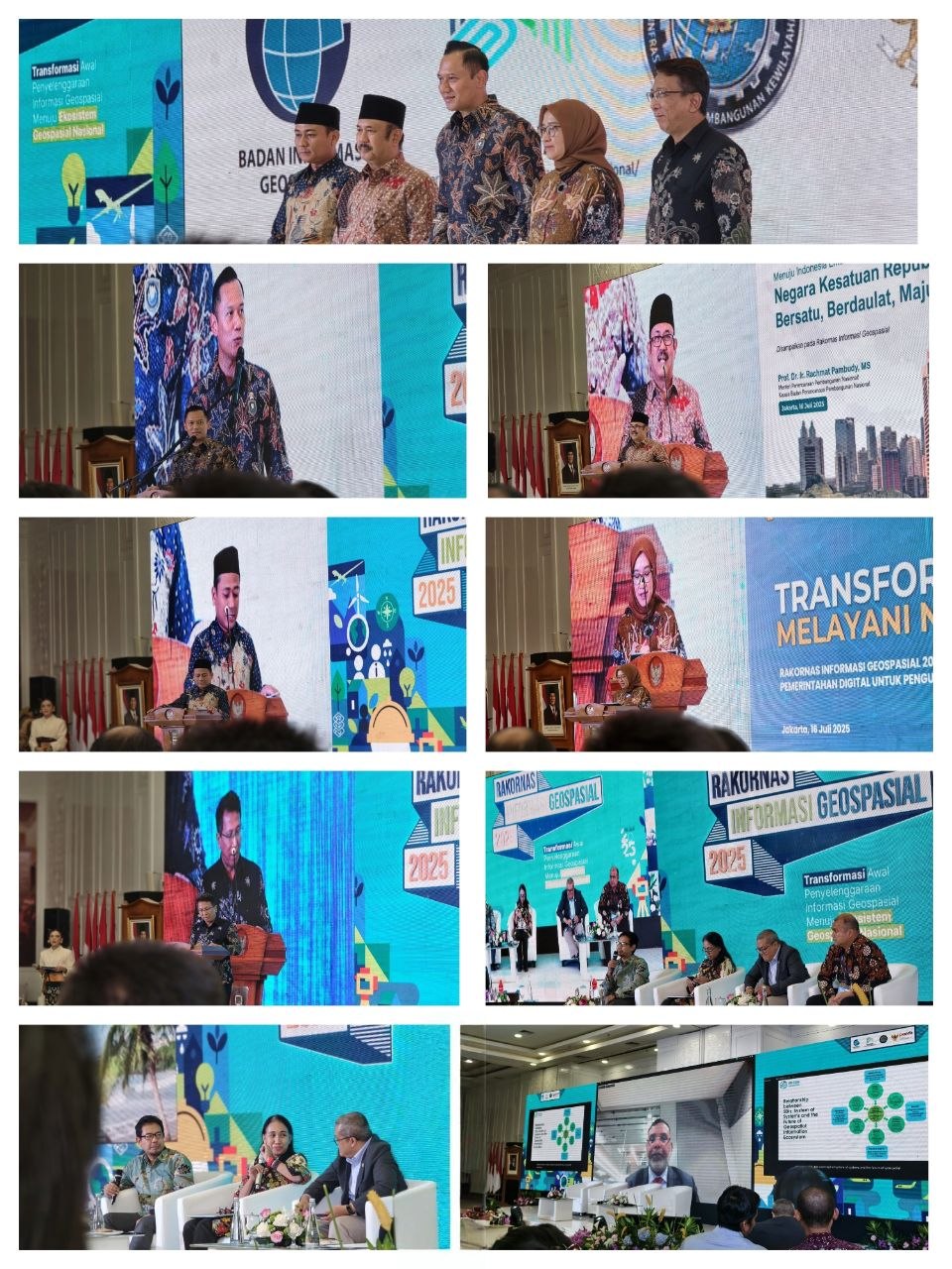
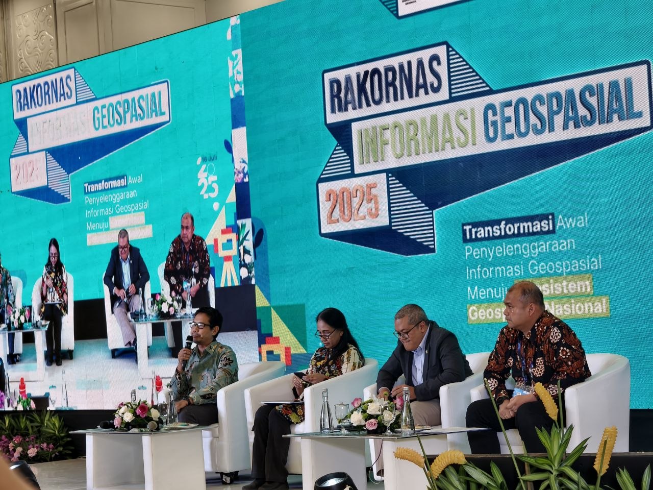
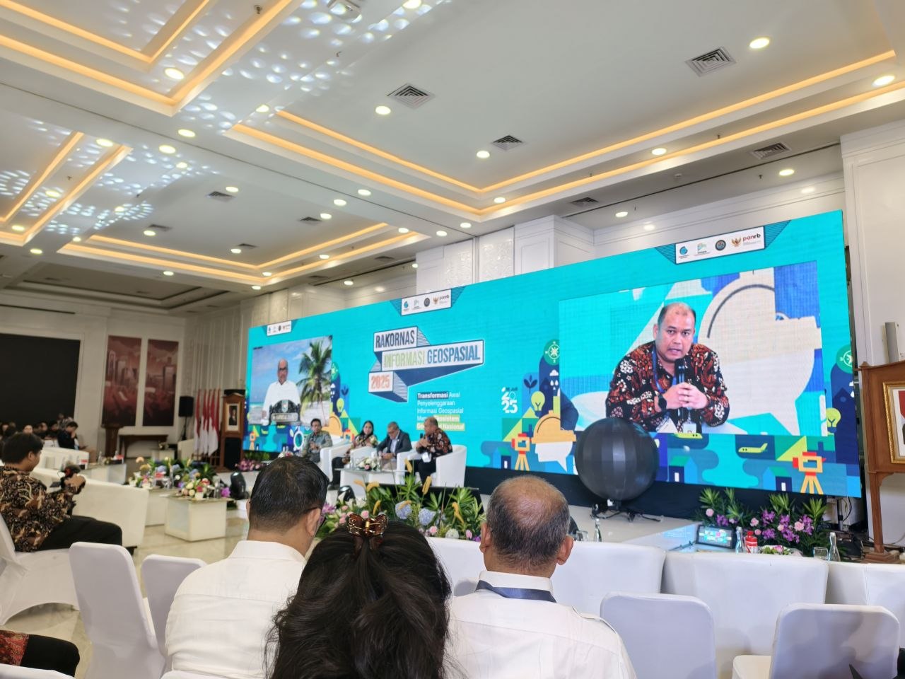
- Represented the agency at the 2025 national coordination meeting on geospatial information in Jakarta, held by Badan Informasi Geospasial.
Documentation
Photographs from this period.
GINA — geospatial platform for public programme data
8 photosConcept and feature design, and direction of the third-party development vendor: a map of SPPG locations with filters by province and district, point-level detail, and dashboard views of the programme’s distribution. Built so the public could answer its own questions instead of filing a request to the data team. Released to internal testing; not published publicly within my tenure.




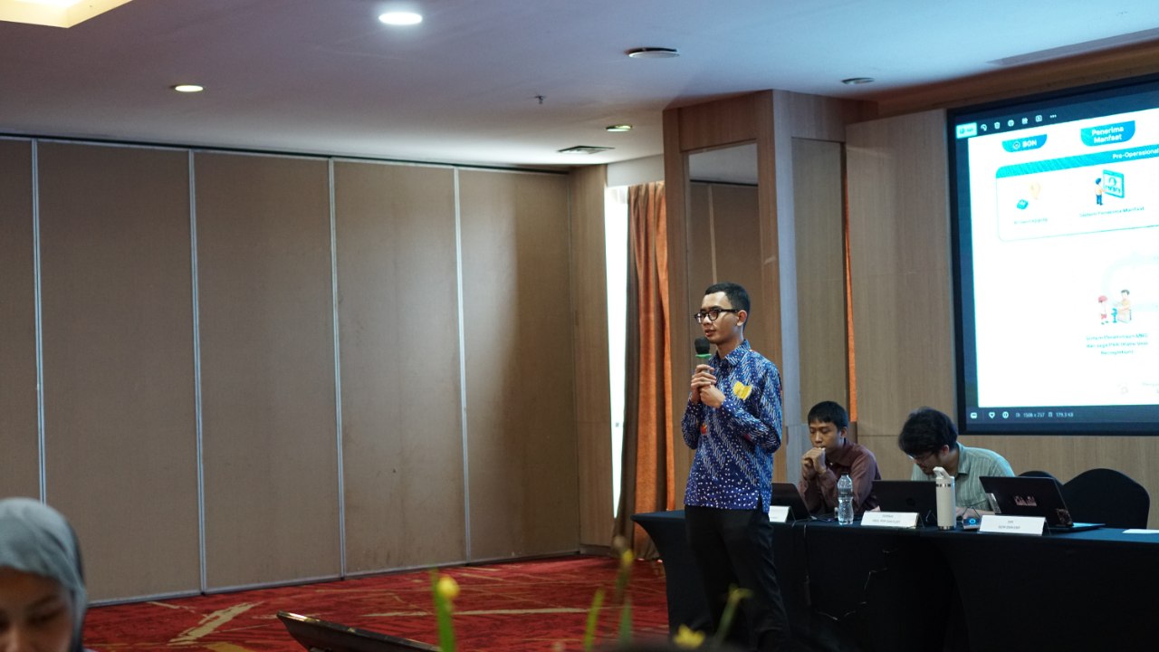
Teaching the SIPGN modules
3 photosTaught the Sourcing Management and ERP modules of SIPGN — the agency’s own system for the programme — to more than 100 participants, in sessions for SPPG units across West Java, at Pusat Data dan Sistem Informasi, Badan Gizi Nasional. Internal transaction and beneficiary figures are not published.
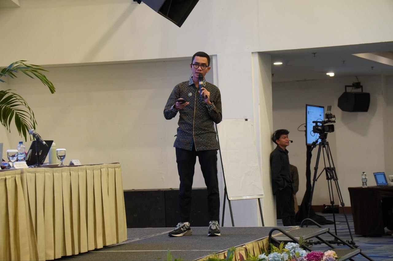
Representing the agency at national forums
3 photosAttended the 2025 national coordination meeting on geospatial information in Jakarta, held by Badan Informasi Geospasial, on behalf of Badan Gizi Nasional — the agency’s only representative in the room where national geospatial policy was set.
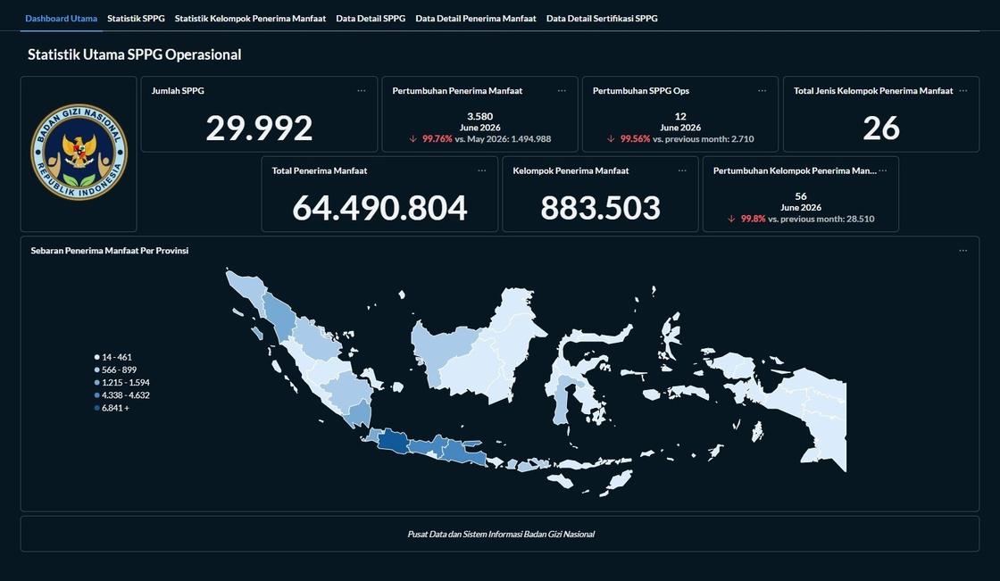
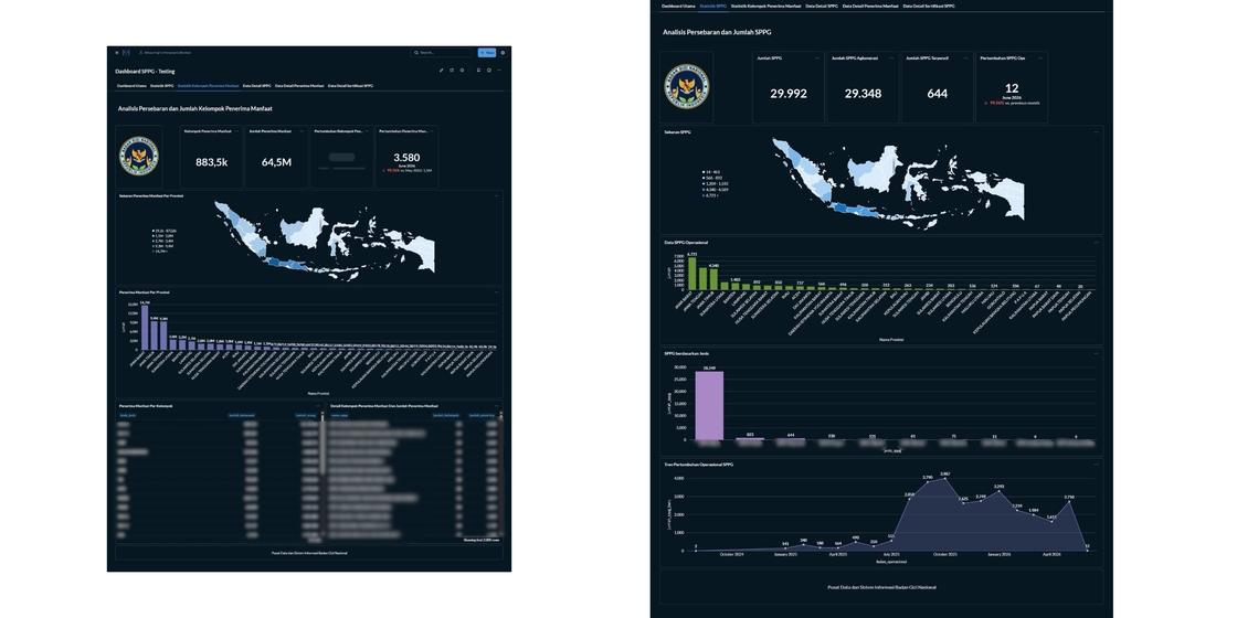
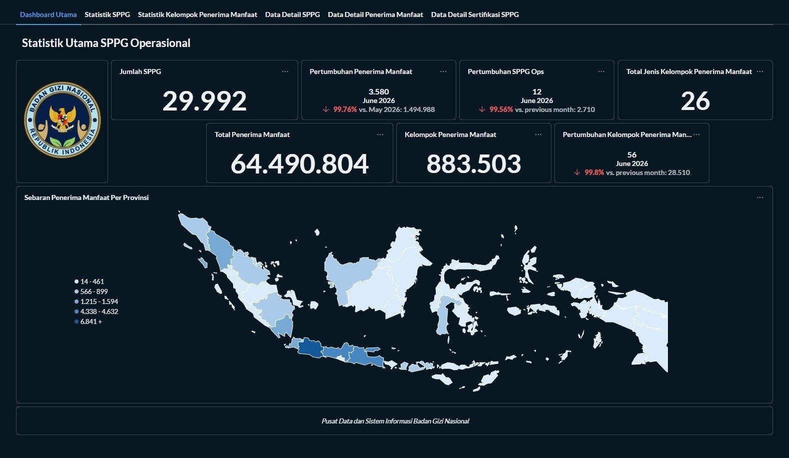
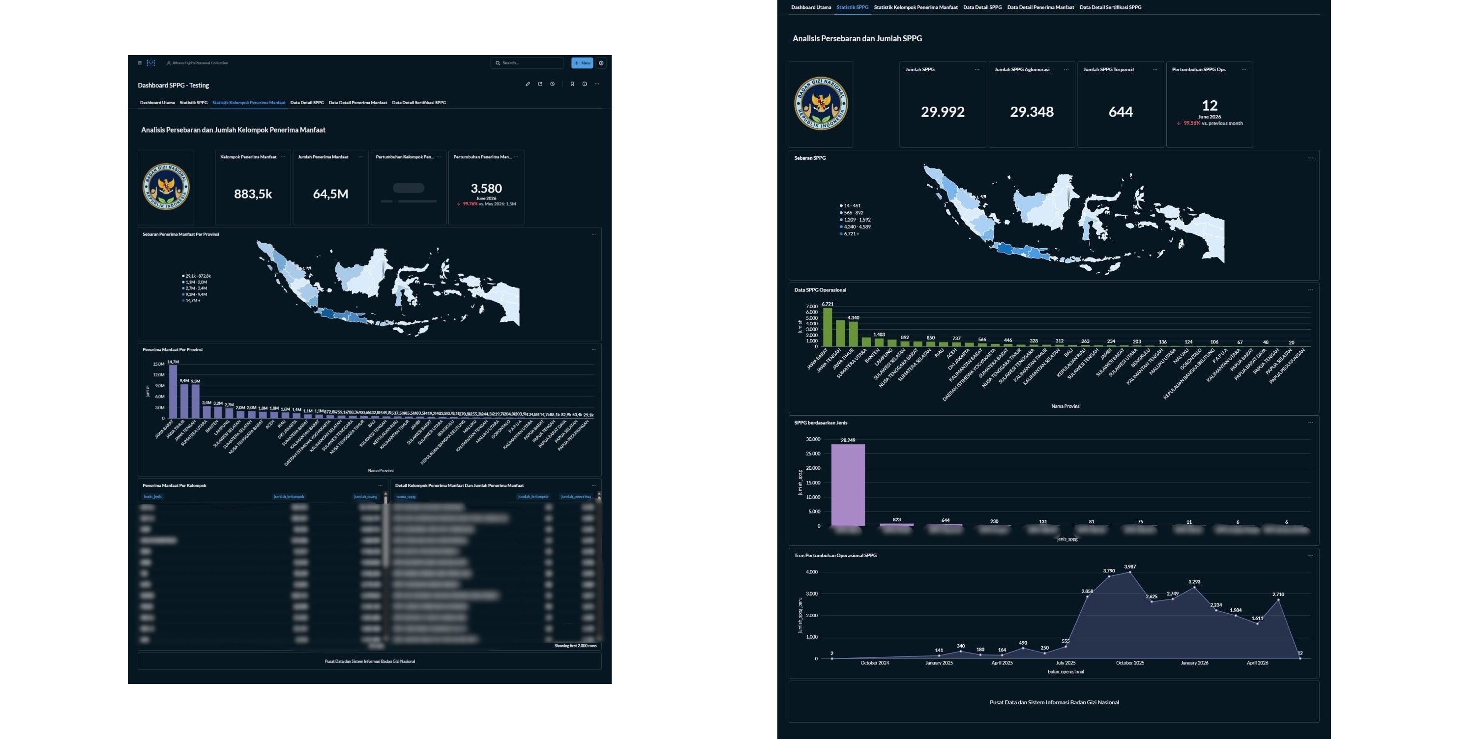
Real-time operational dashboards on Metabase
2 photosSPPG delivery data arrives from API as wide, scattered database tables. I shape it into Metabase dashboards — SQL-based views that turn raw rows into delivery progress anyone in the agency can read at a glance.
Case studies
Legal Drafter
What I learned here
How public procurement actually reaches people: not through regulation, but through a user who cannot complete a payment. I joined as a legal drafter and ended up in front of rooms of government users explaining the catalogue. That is where I learned to translate rules into instructions somebody can follow, and to stay reachable after the session ends.
The work, in summary
Worked on Electronic Catalogue v6, the national public procurement marketplace, at the directorate that runs it. The role combined regulatory review, user consultation, regional training, and coordination between ministries, regional governments, banks, and technology vendors. Day to day it was troubleshooting: a user cannot log in, a payment will not clear, a region needs its accounts provisioned.
Achievements
- Served as primary point of contact for approximately 10 ministries and institutions — including the Ministry of Defense and the Indonesian National Armed Forces, and the Ministry of Environment and Forestry — resolving operational issues and coordinating account provisioning across geographically distributed units.
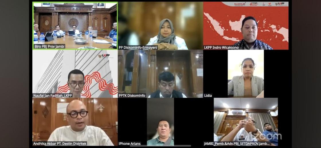
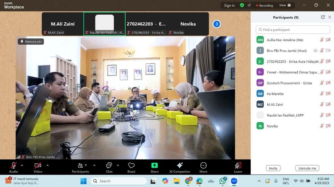
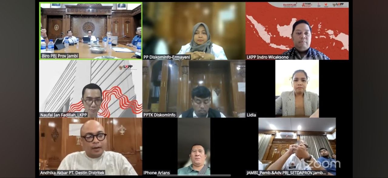
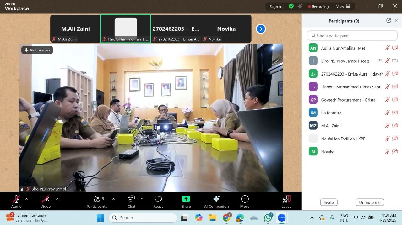
- Initiated and drove payment integration for three provincial governments (Jambi, Bangka Belitung, Central Kalimantan), coordinating the local government, the regional bank, and the technology vendor — enabling catalogue payments that would otherwise have been blocked, and preventing budget absorption from stalling.
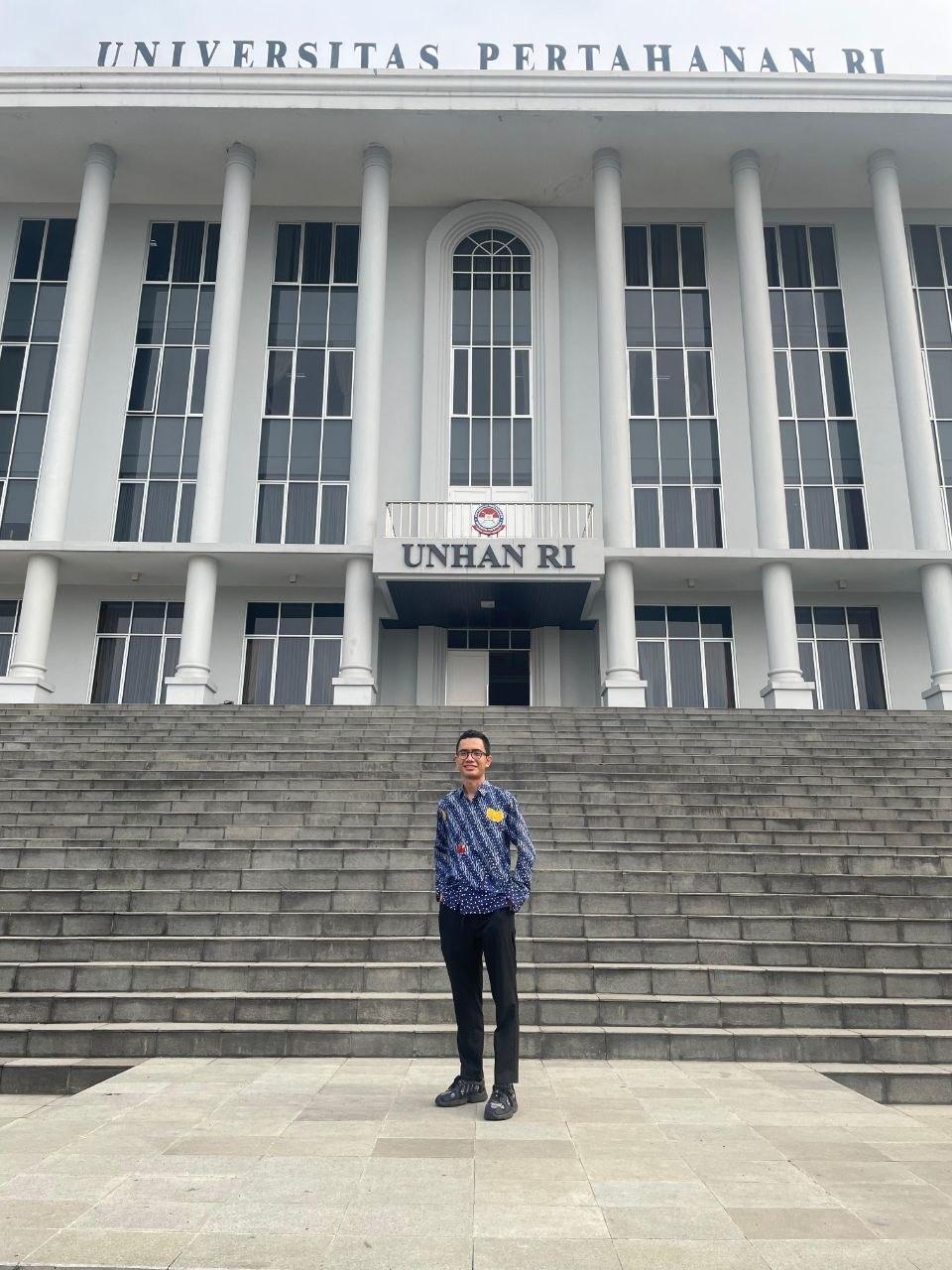
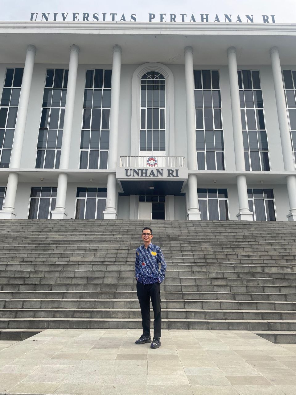
- Delivered training for the first cohort at Universitas Pertahanan RI, covering general procurement and Electronic Catalogue v6 for the Makan Bergizi Gratis programme — taught before joining the agency that runs it.
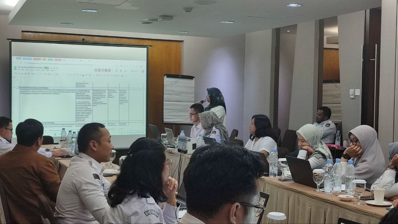
- Served as speaker and trainer for Electronic Catalogue v6 across regions, for ministries, institutions, and regional governments.
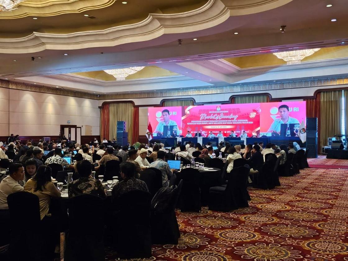
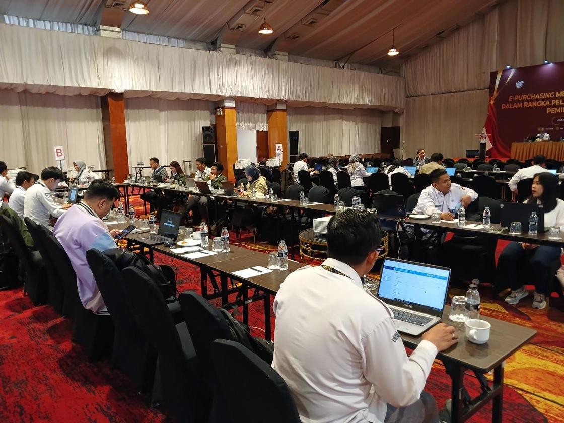
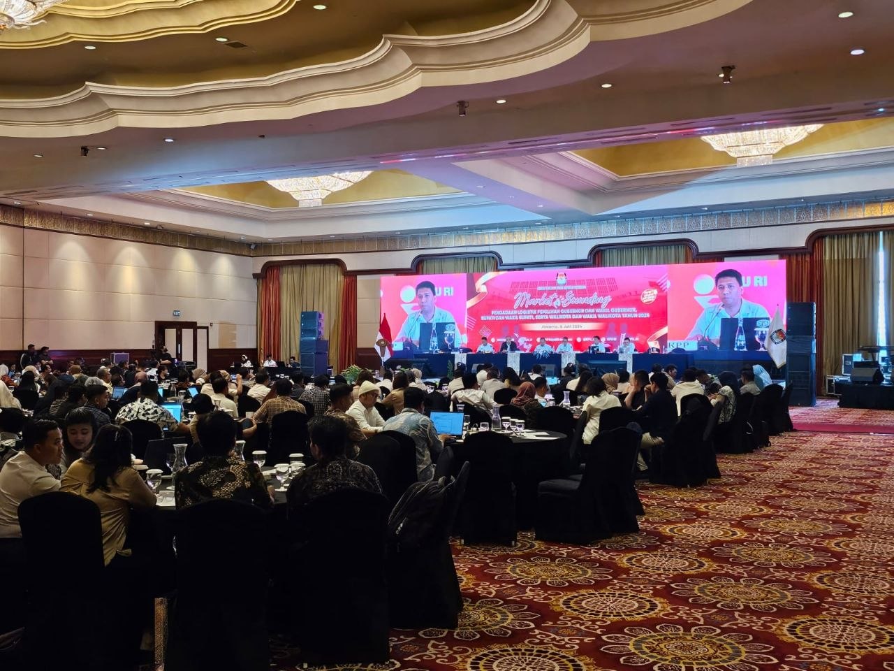
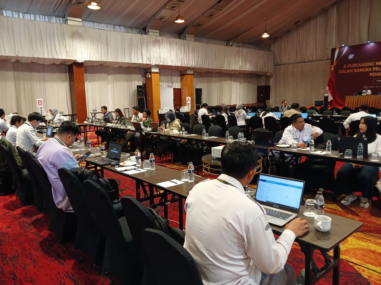
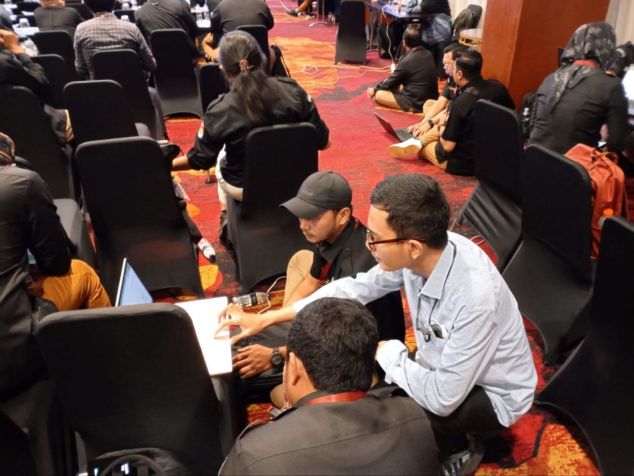
- Supported regional election procurement through Electronic Catalogue v5, including market sounding and working sessions with regional election commissions.
Documentation
Photographs from this period.
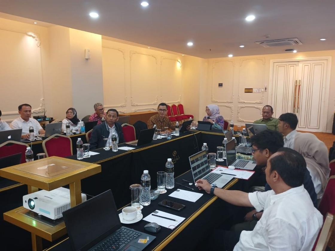
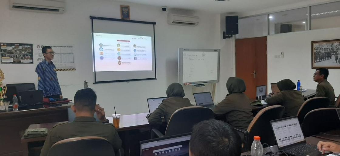
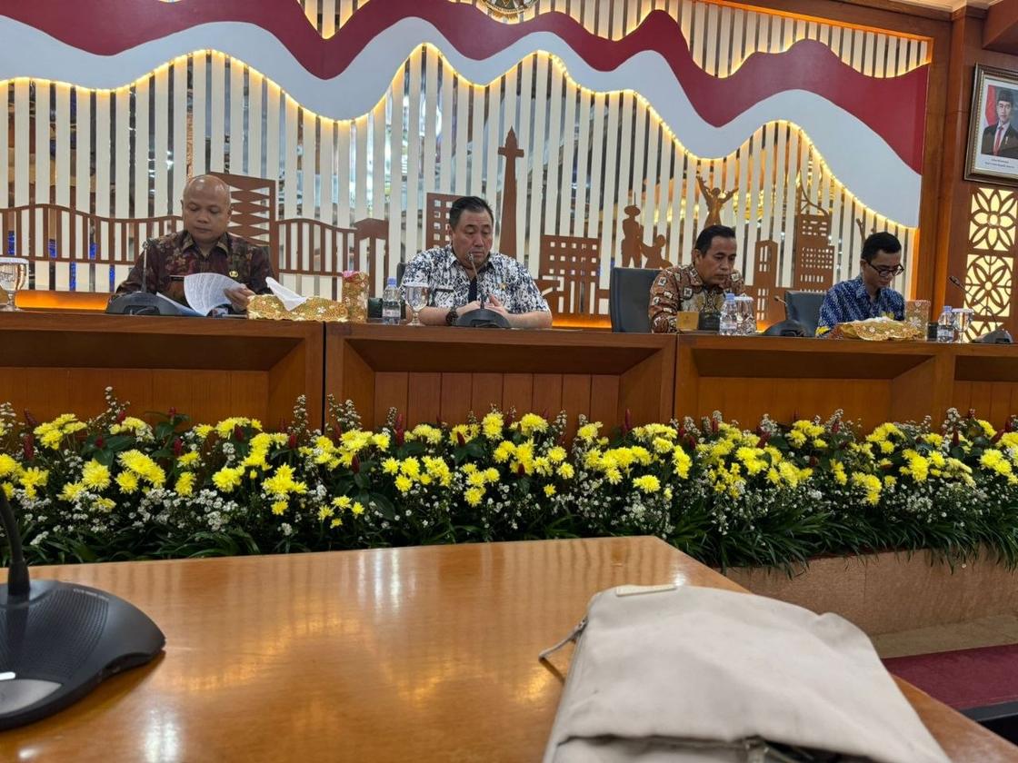
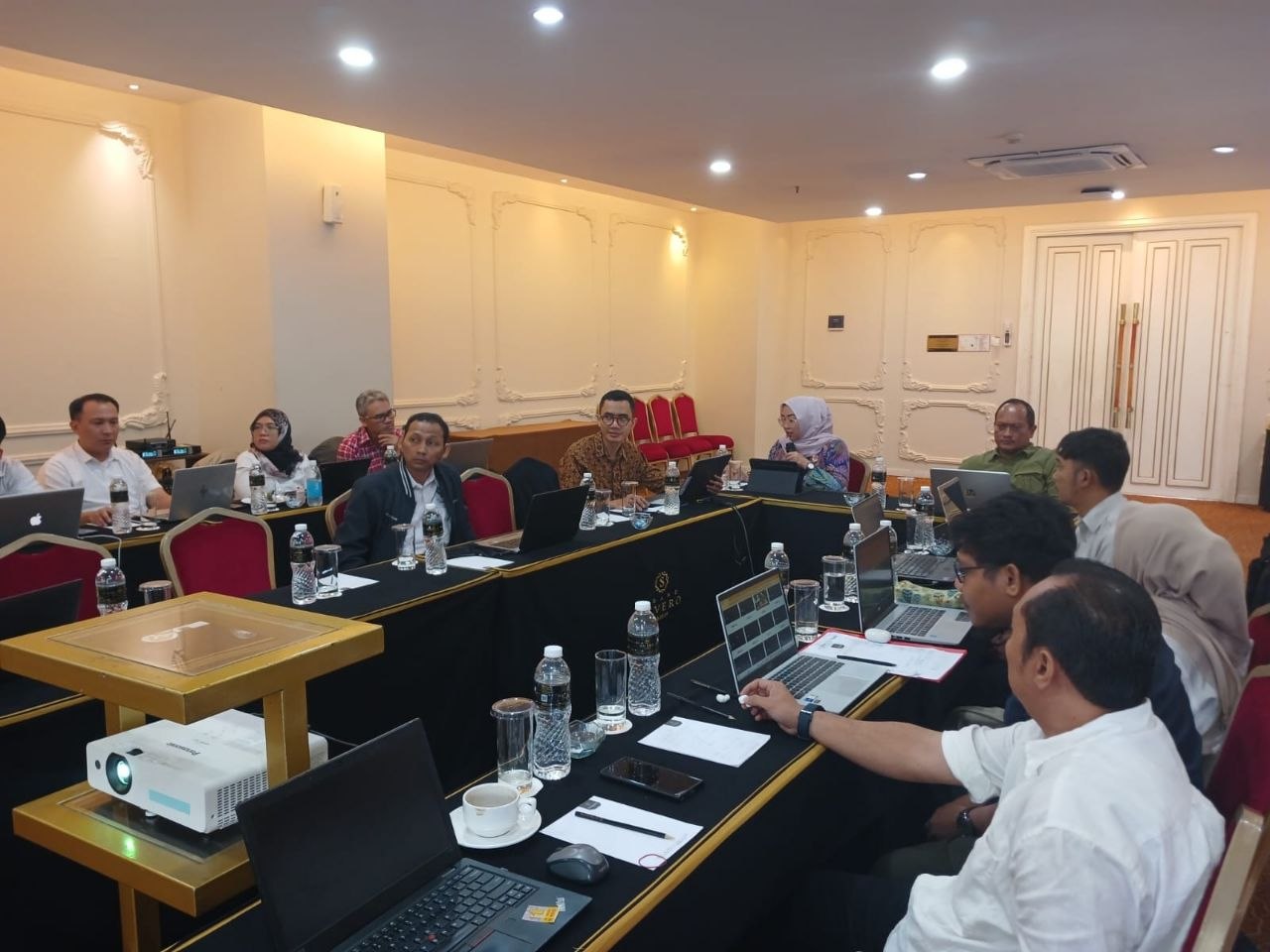
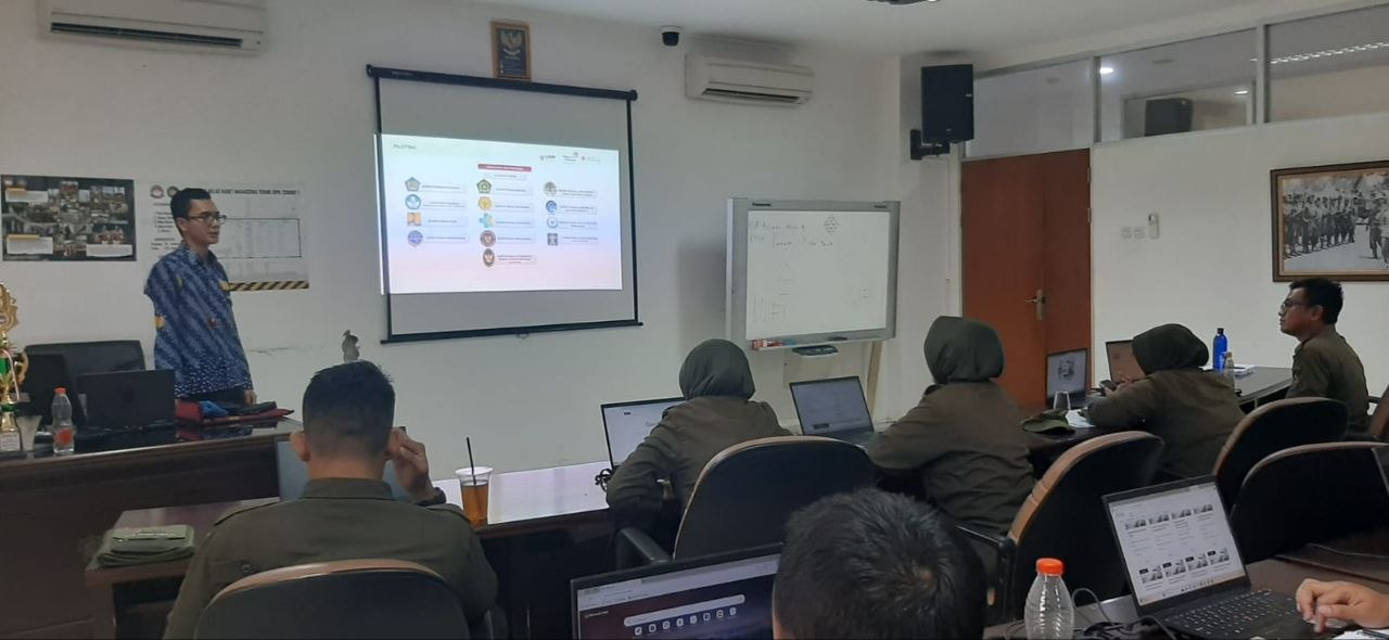
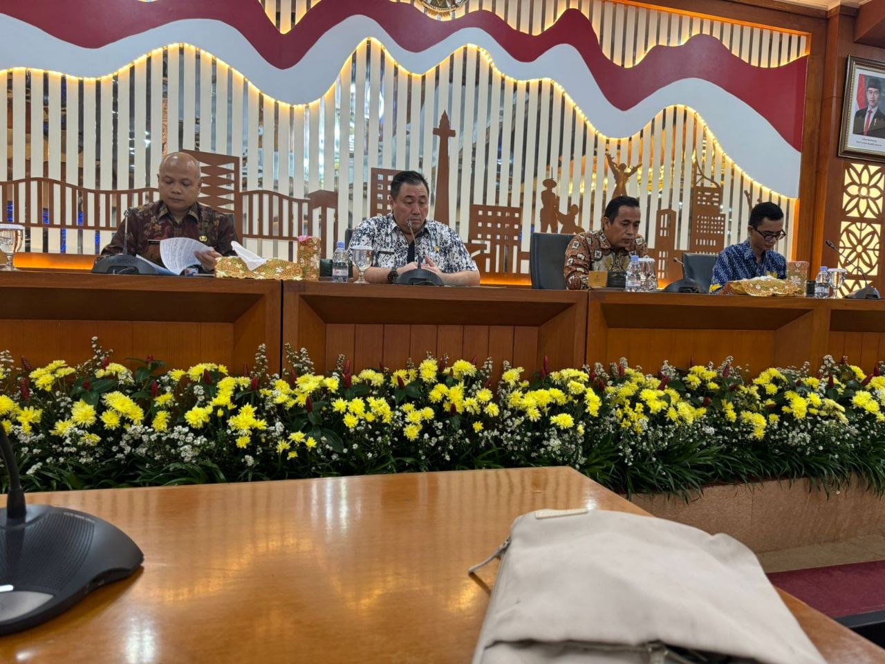
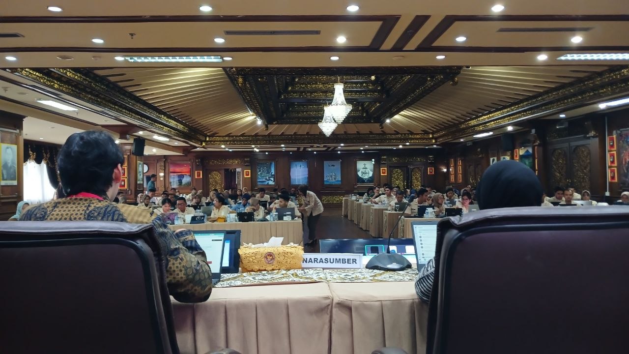
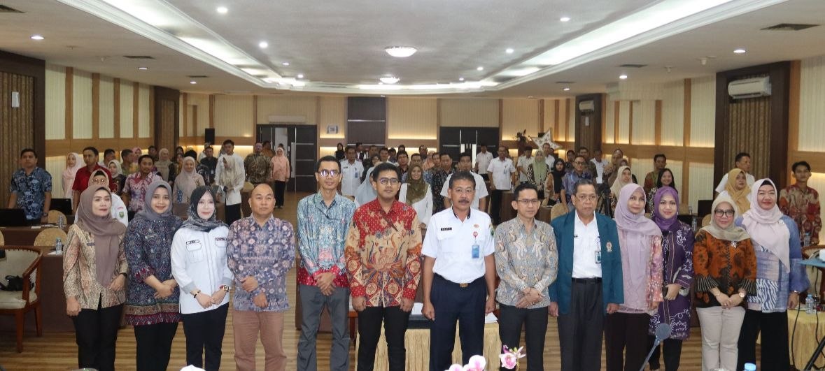
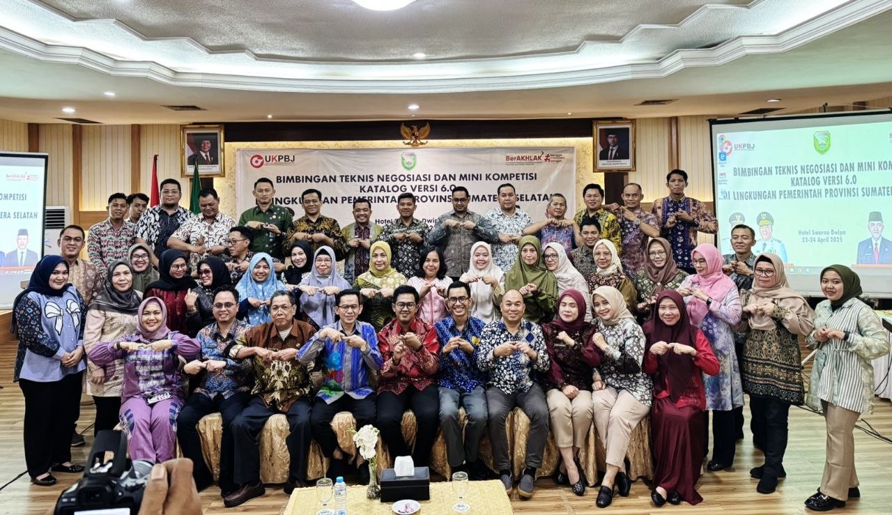
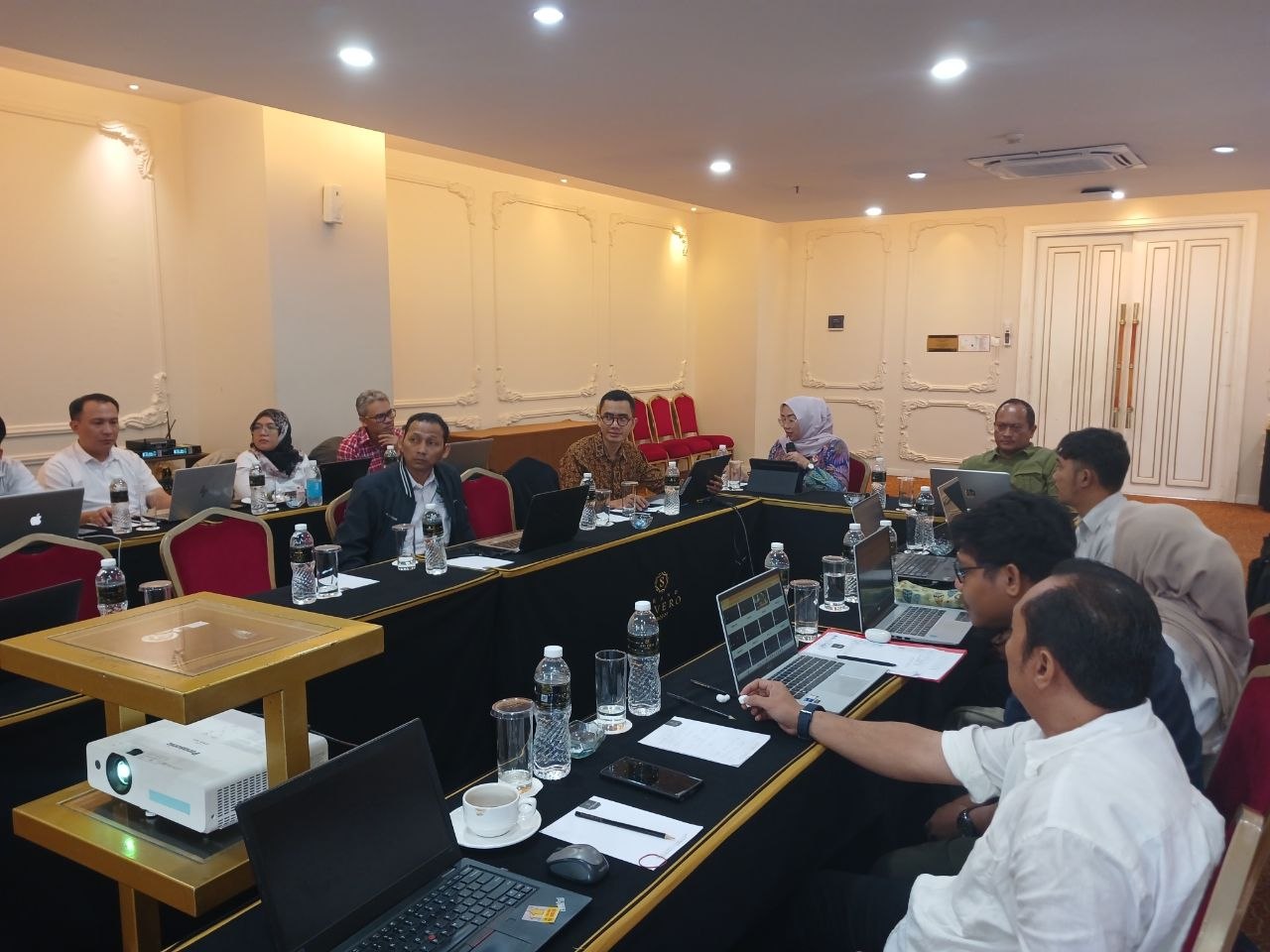
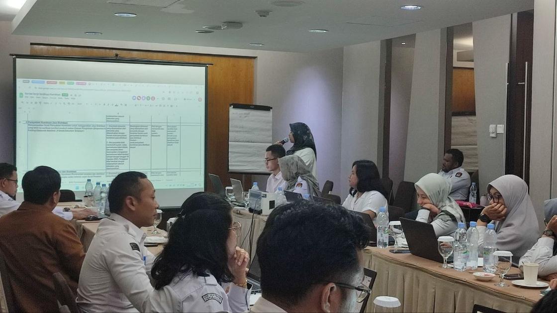
Teaching Electronic Catalogue v6 across the regions
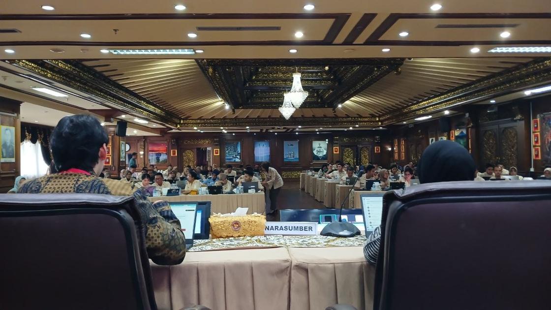
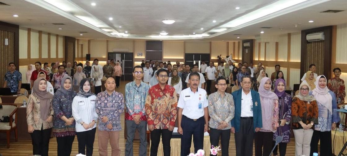
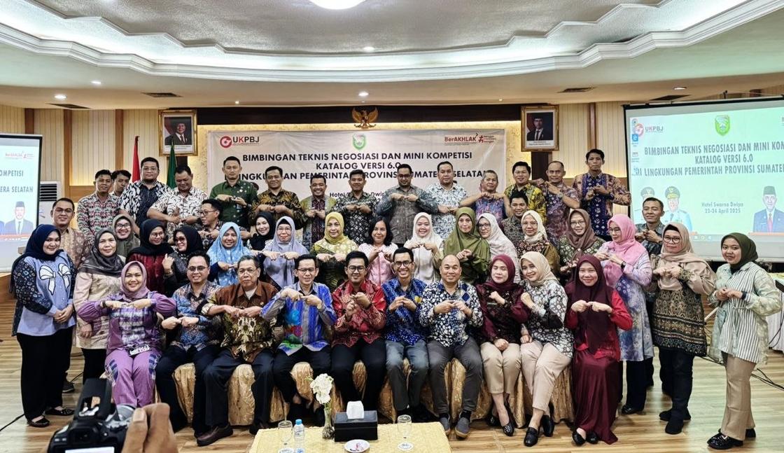
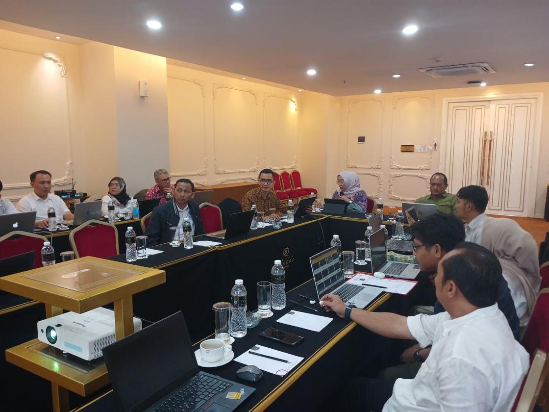
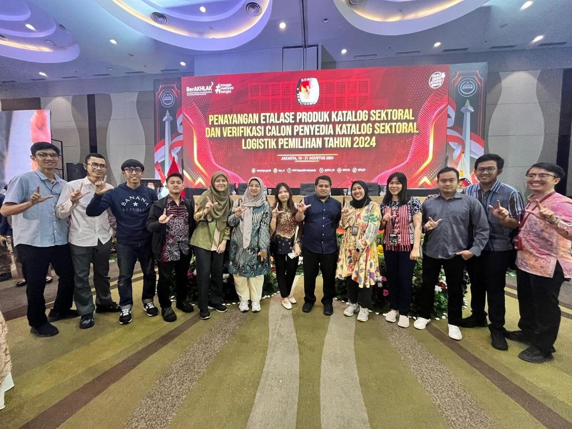
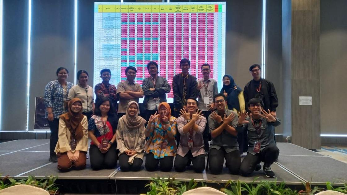
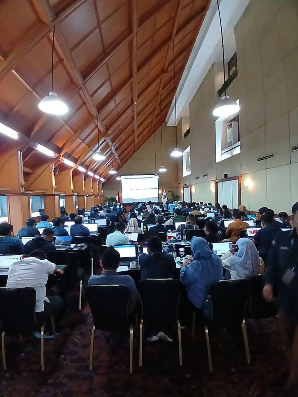
10 photosElectronic Catalogue v6 is the country’s largest public procurement marketplace, used by every ministry and regional government. These sessions ran in person and online, for audiences with very different starting points — from first-time system users to technical procurement teams. Requests for guidance kept arriving after each session ended, which is the only measure that matters.




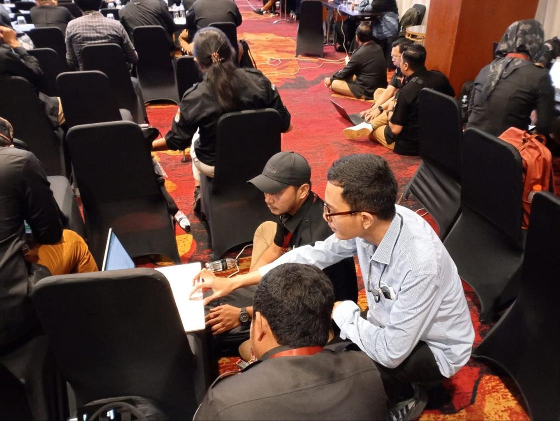
Procurement accompaniment for the 2024 regional elections
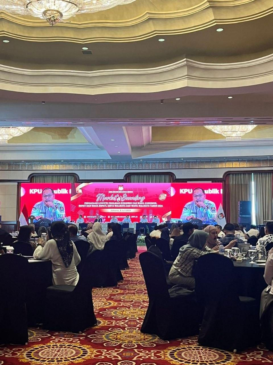
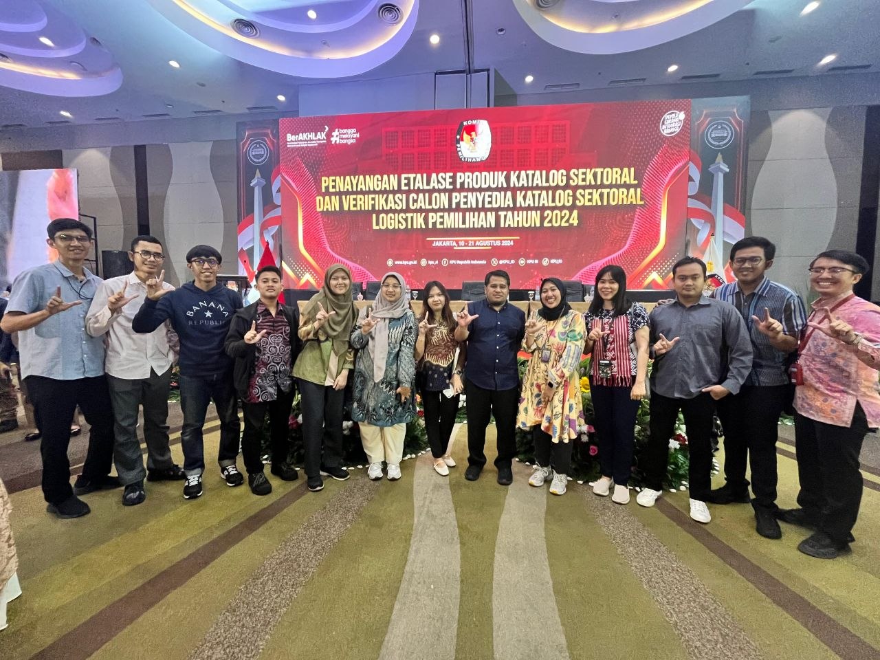
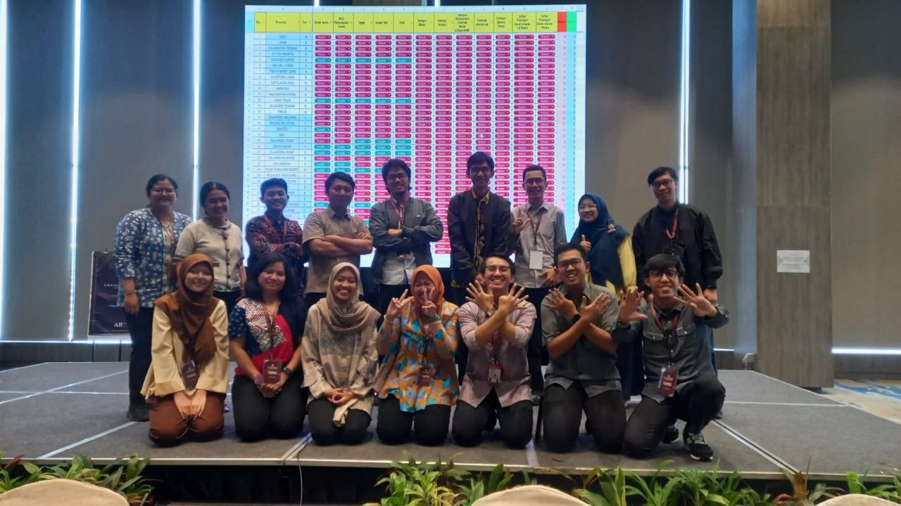
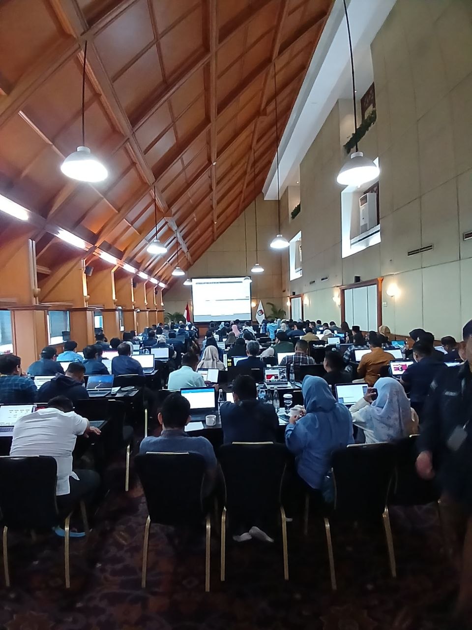
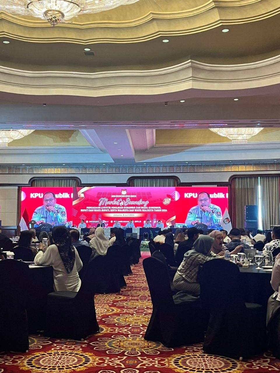
8 photosSupported regional election procurement through Electronic Catalogue v5 — the first time this route was used at that scale for election logistics. Market sounding in Jakarta, then working sessions with regional election commissions.
Payment integration with regional government
2 photosCoordinating the regional government, the regional bank, and the technology vendor so catalogue payments could clear. Without this link, budget absorption stalled at the point where the work had already been done.
GIS Officer
What I learned here
What a GIS team looks like when the client is not a government office. Here the map is not a report — it is an operating instrument. A wrong boundary line becomes a planting decision, and a slope assessment becomes a road that does or does not get built.
The work, in summary
Maintained the spatial databases behind plantation operations: boundaries, blocks, roads, waterways, and infrastructure. Produced thematic maps on land use, soil, drainage, and development stage, and ran terrain, slope, and elevation analysis to support planting and replanting decisions. Worked in English with foreign management and seven other departments.
Achievements
- Produced and maintained the spatial datasets and thematic maps that plantation planning, monitoring, and reporting were built on.
- Supported decisions on planting, replanting, irrigation, transportation, and operational planning through terrain and slope analysis.
- Worked daily in English across a multicultural management structure — agronomy, finance, sustainability, legal, HR, and administration.
Documentation
Photographs from this period.
Spatial databases behind plantation operations
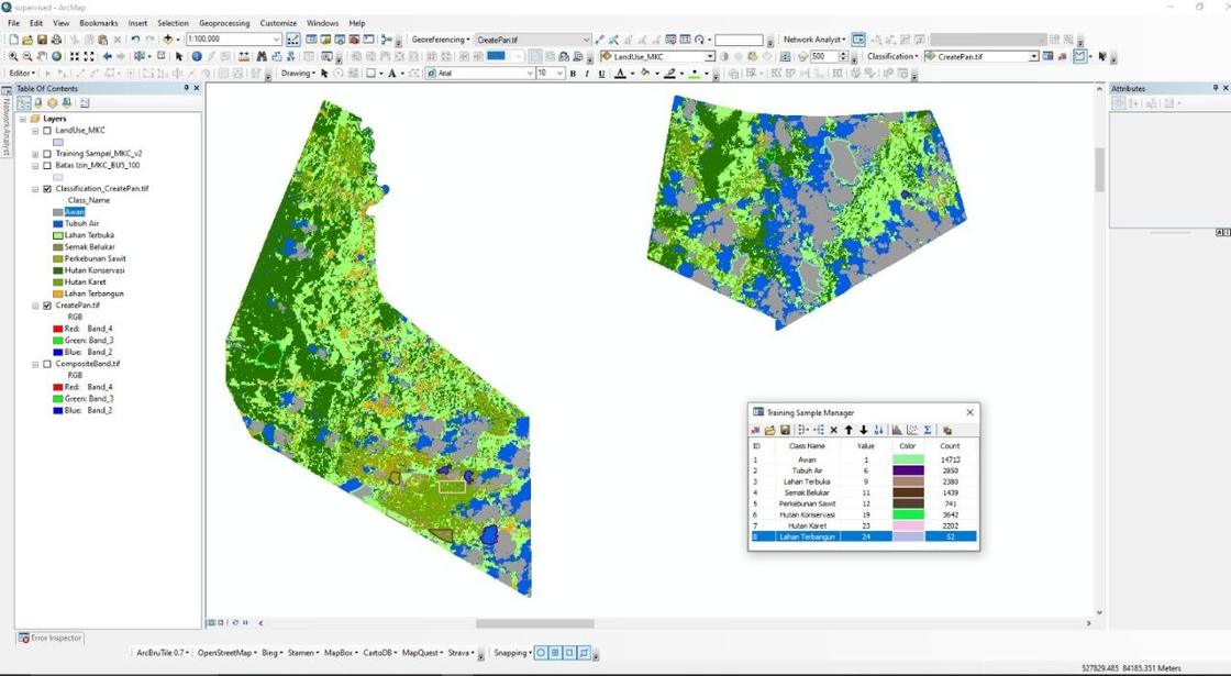
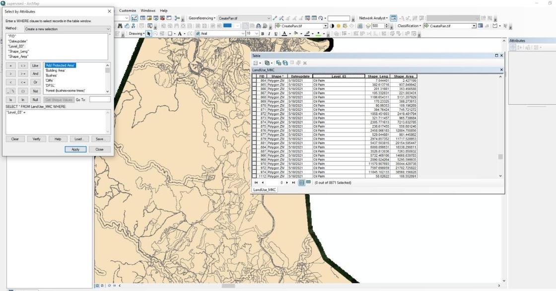
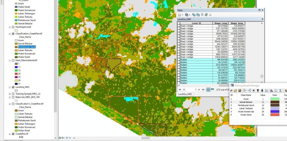
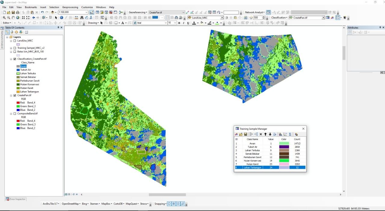
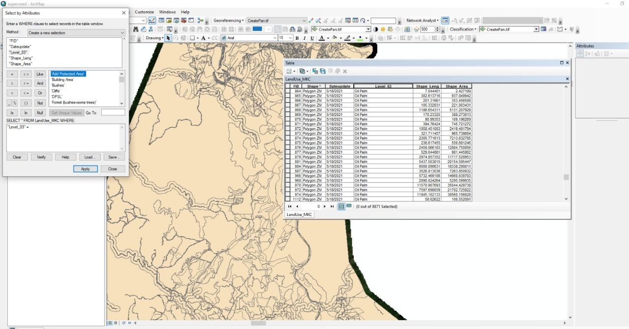
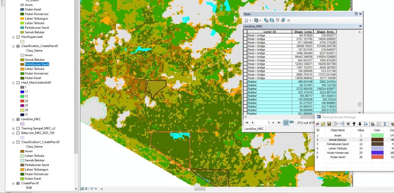
4 photosLand-cover classification and the parcel attribute tables behind it, the QGIS land-use layers the planning team worked from, and the office where the work was handed over. Planning decisions ran on these datasets: boundaries, blocks, roads, waterways, and the development stage of each block.


GIS Engineer
What I learned here
How a provincial government builds and owns a land asset database — and how much of that work is agreement rather than software. Every layer had to be defensible in front of officials who would have to sign for it, which is where I learned to document spatial data properly instead of trusting it.
The work, in summary
Built the geospatial side of a land asset project: consolidating parcel and asset data into one database, then integrating it into WebGIS so officials could query it rather than request a map.
Achievements
- Completed the land asset project approximately one month ahead of schedule, and presented the results to experts and officials within the provincial government.
Documentation
Photographs from this period.
Land asset database and WebGIS integration
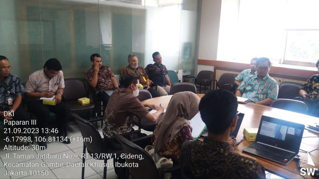
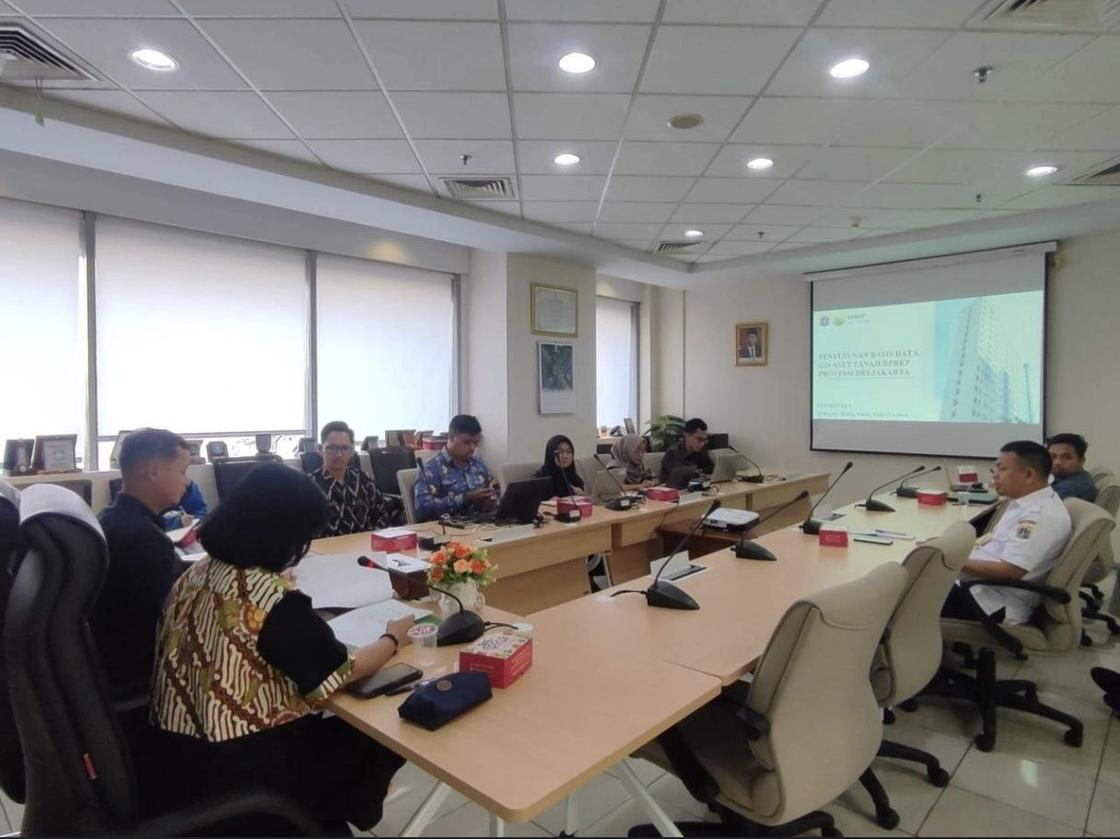
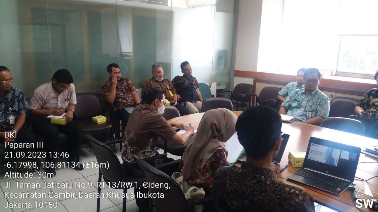
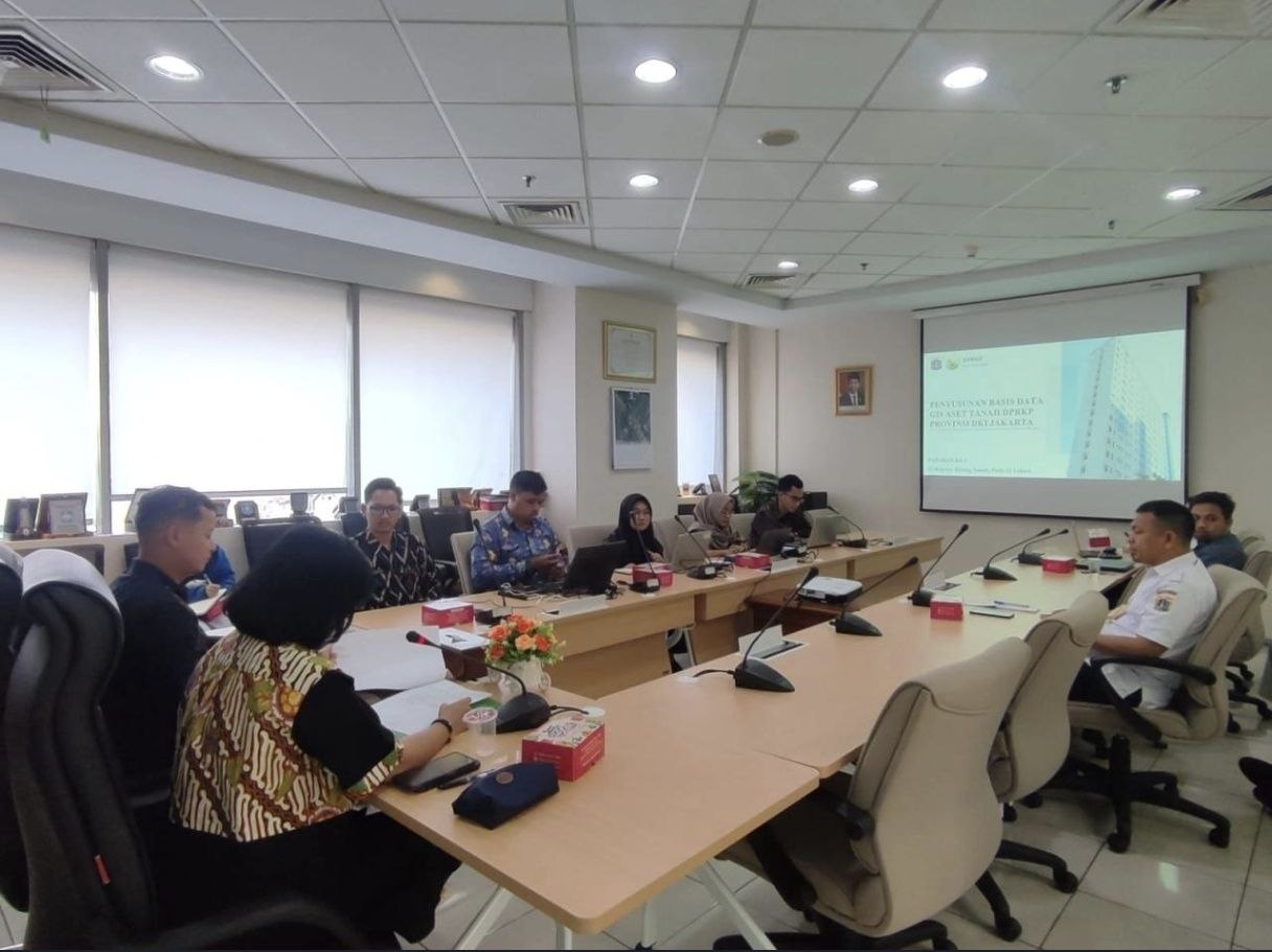
2 photosThe land asset geospatial database for Dinas Perumahan Rakyat dan Kawasan Permukiman DKI Jakarta, and its WebGIS integration — delivered about a month ahead of schedule and presented to experts and officials within the provincial government.
GIS Officer
What I learned here
How to build an analysis from almost nothing. The carrying-capacity study had one journal reference behind it and no precedent inside the consultancy, so every map had to be justified from the source text outward rather than copied from a template.
The work, in summary
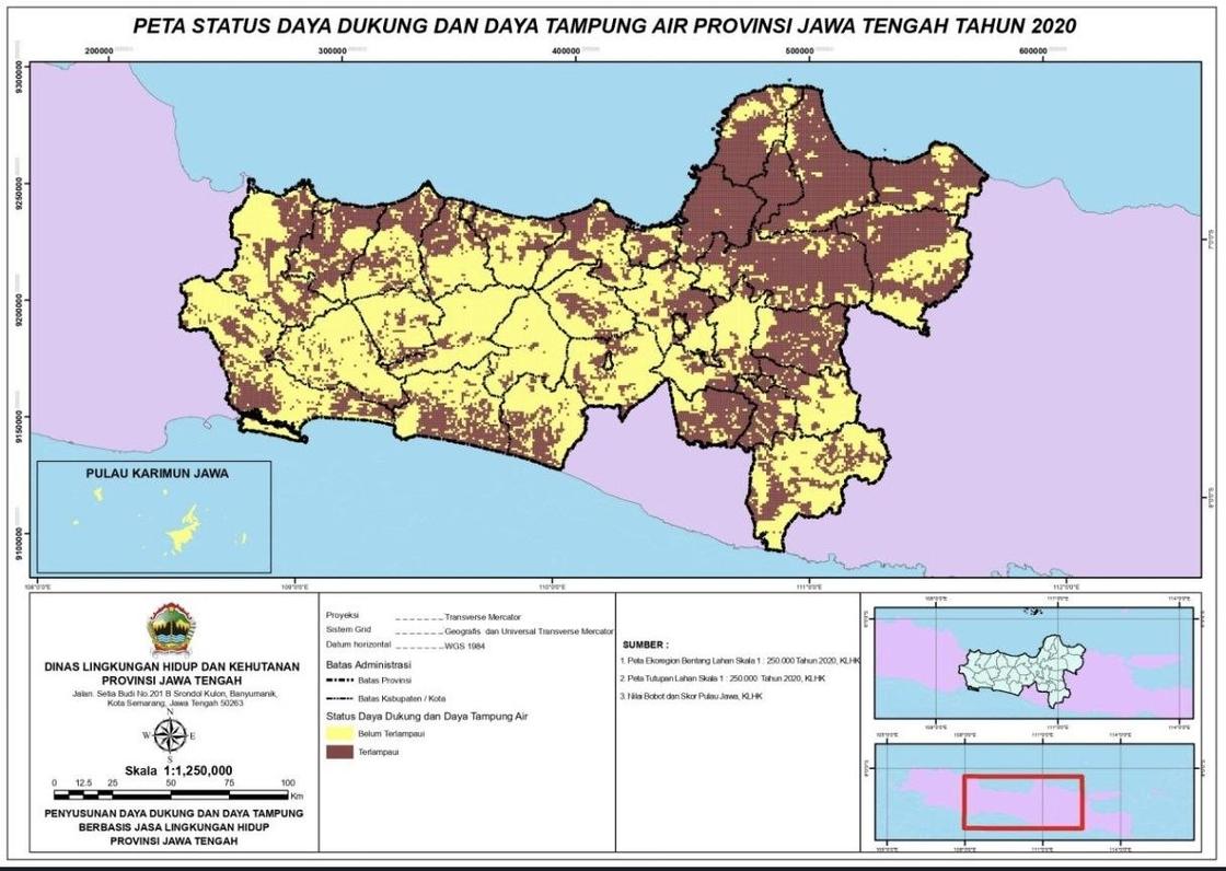
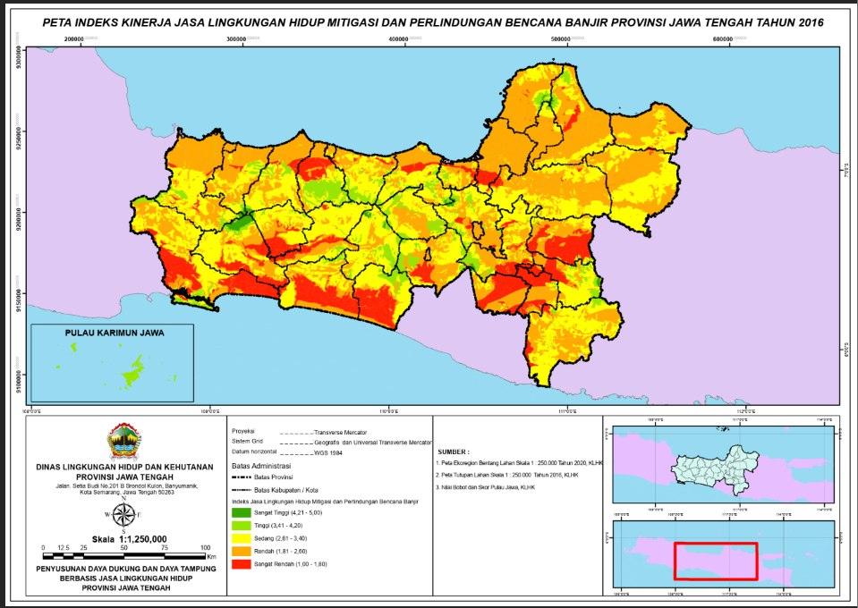
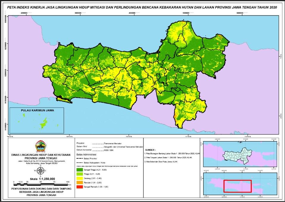
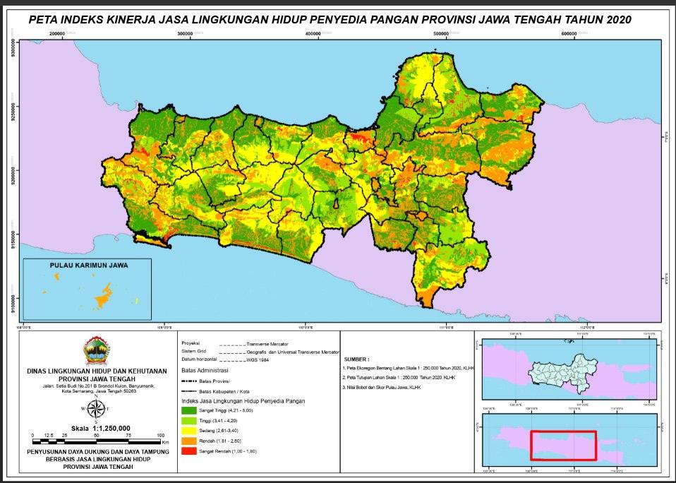
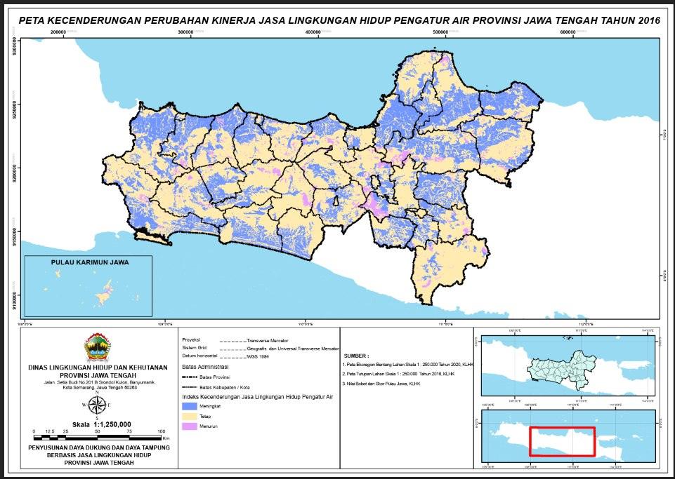
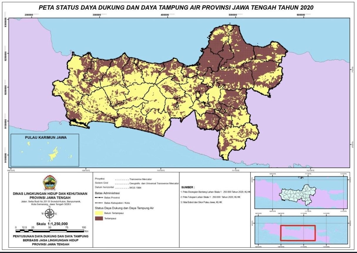
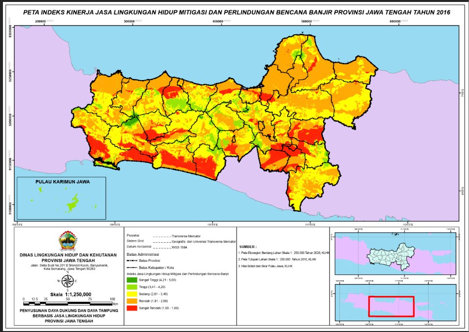
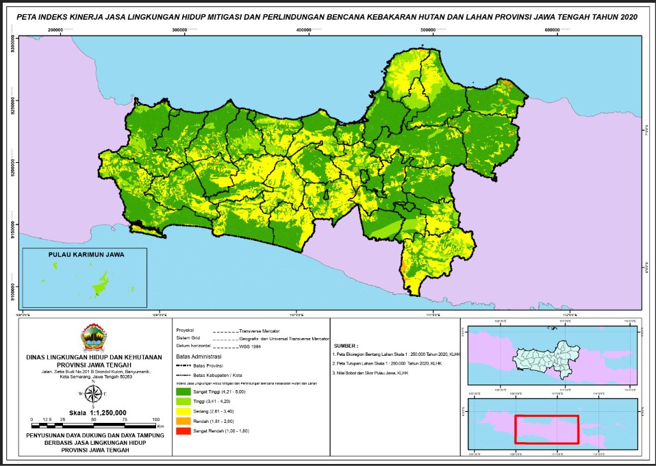
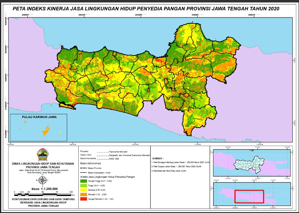
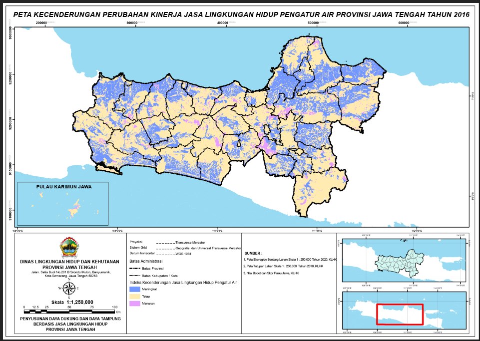
Produced the thematic mapping for the Central Java environmental carrying-capacity analysis: around 20 maps covering water availability, flood and land-fire performance, food-provider performance, and water-regulator trends.
Achievements
- Developed approximately 20 thematic maps for the Central Java environmental carrying-capacity analysis, working from a single journal reference with little precedent to follow.
Documentation
Photographs from this period.
Thematic mapping for a provincial environmental analysis
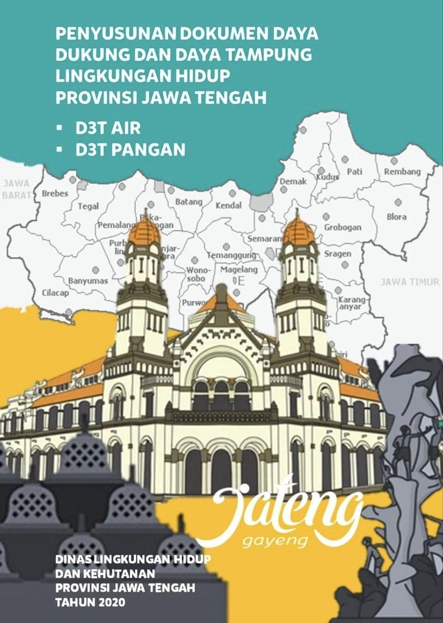
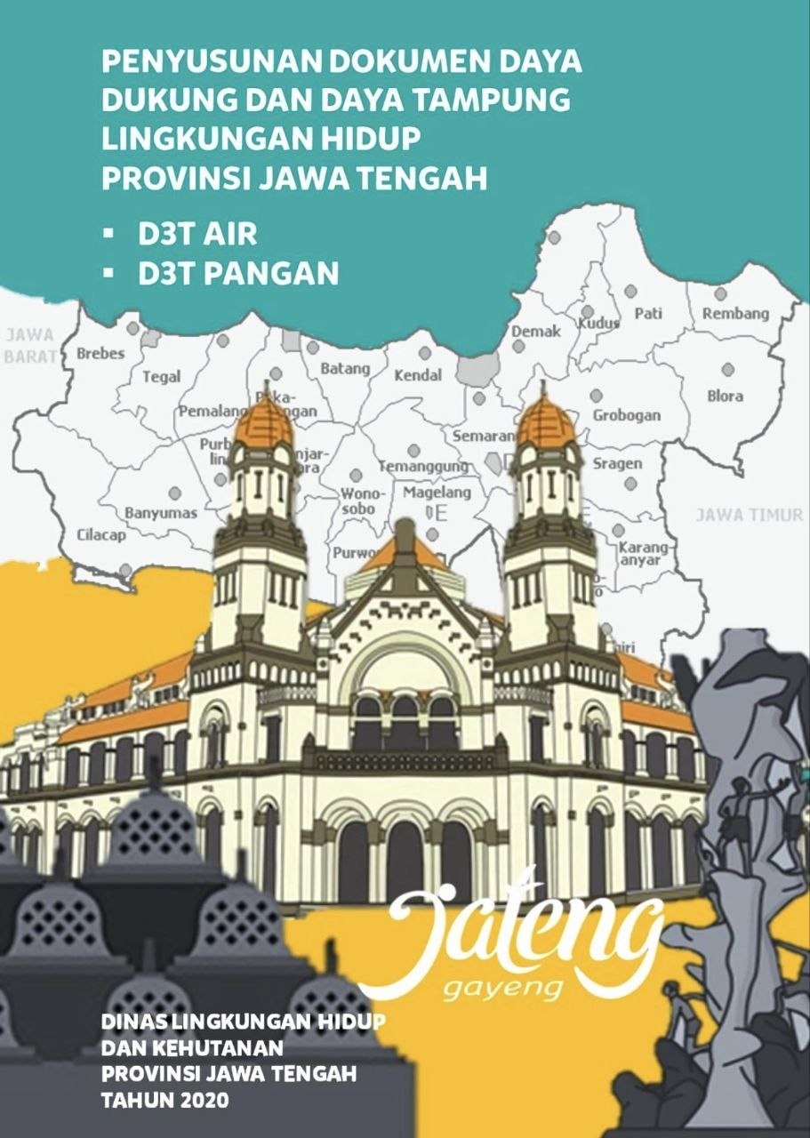
6 photosAround 20 thematic maps for the Central Java environmental carrying-capacity analysis — water availability, flood and land-fire performance, food-provider performance, and water-regulator trends. Built from a single journal reference with little precedent to follow.
Hydrography Officer
What I learned here
What survey data looks like before anyone has drawn a conclusion from it: raw soundings, tide corrections, and position fixes. Hydrographic work is unforgiving about documentation, because the chart that comes out of it is what a ship trusts.
The work, in summary
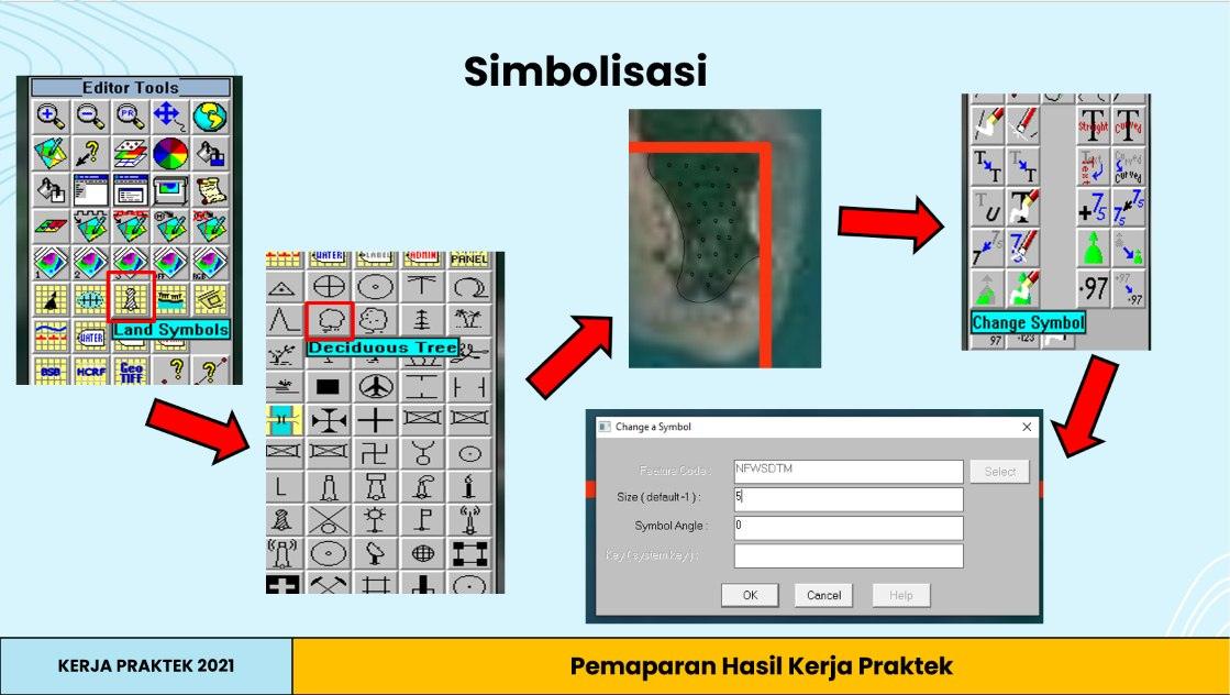
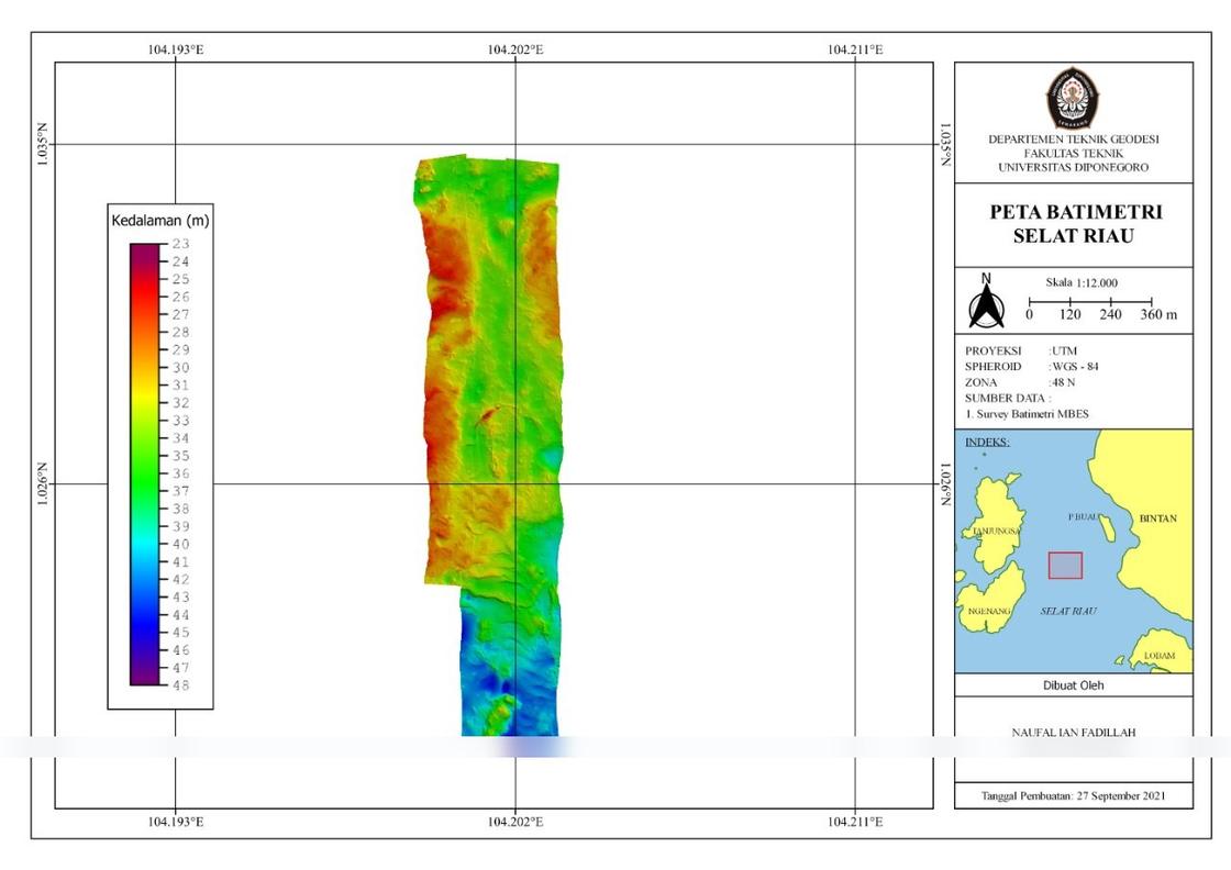
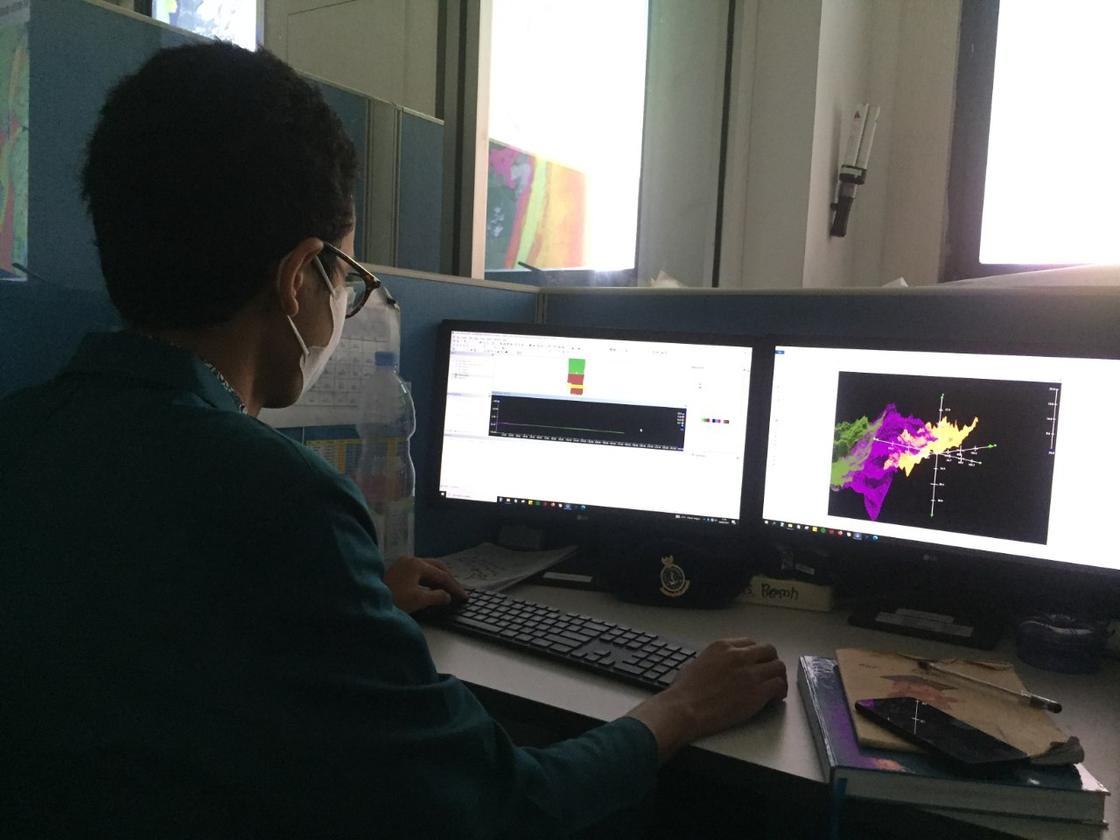
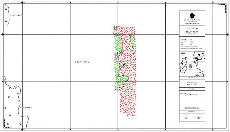
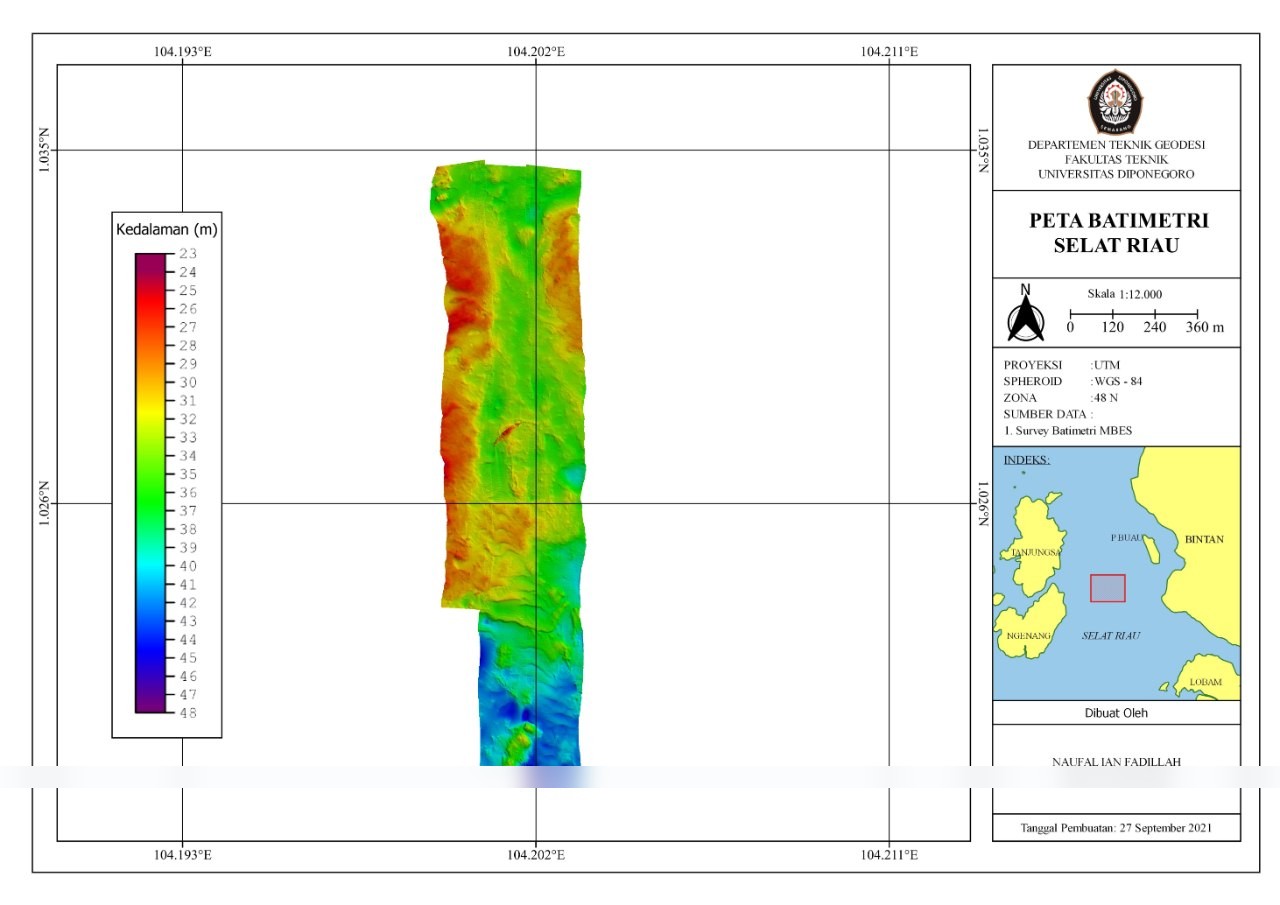
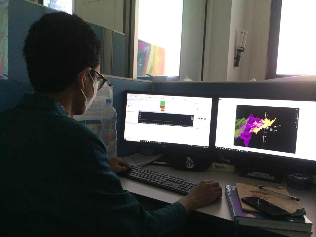
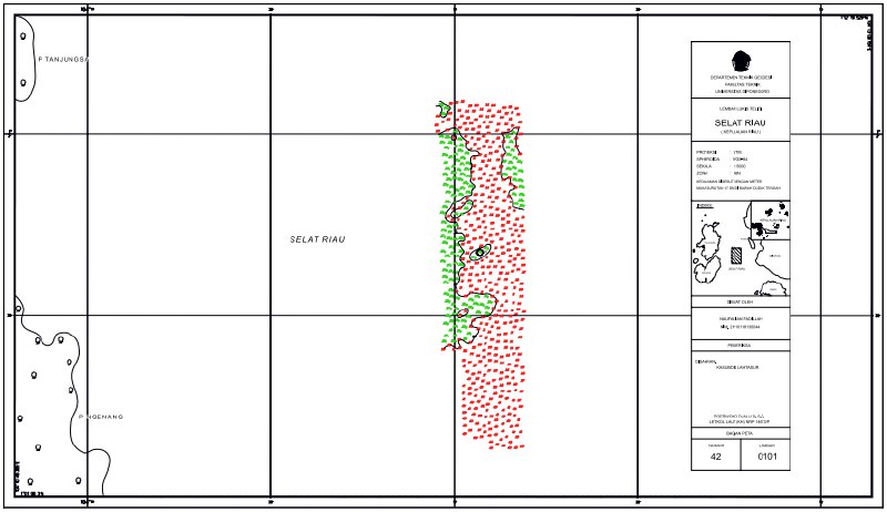
Processed multibeam echosounder data with CARIS HIPS and SIPS into 3D bathymetric maps for navigation. Survey area: Selat Riau, UTM zone 48N.
Achievements
- Processed and visualised multibeam echosounder data into 3D bathymetric maps for navigation, and presented the findings to the Divisi Hidrografi. No service reference letter from this internship is published.
Documentation
Photographs from this period.
Multibeam echosounder processing, Selat Riau
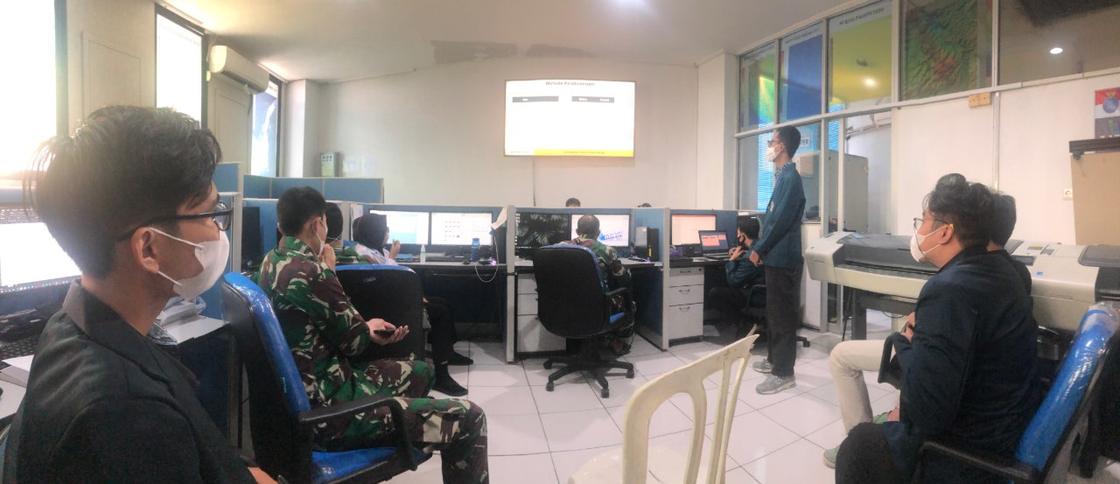
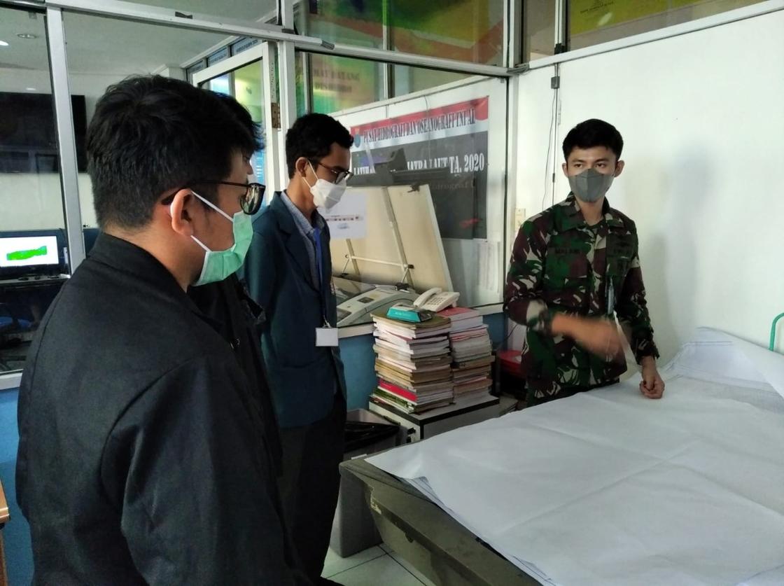
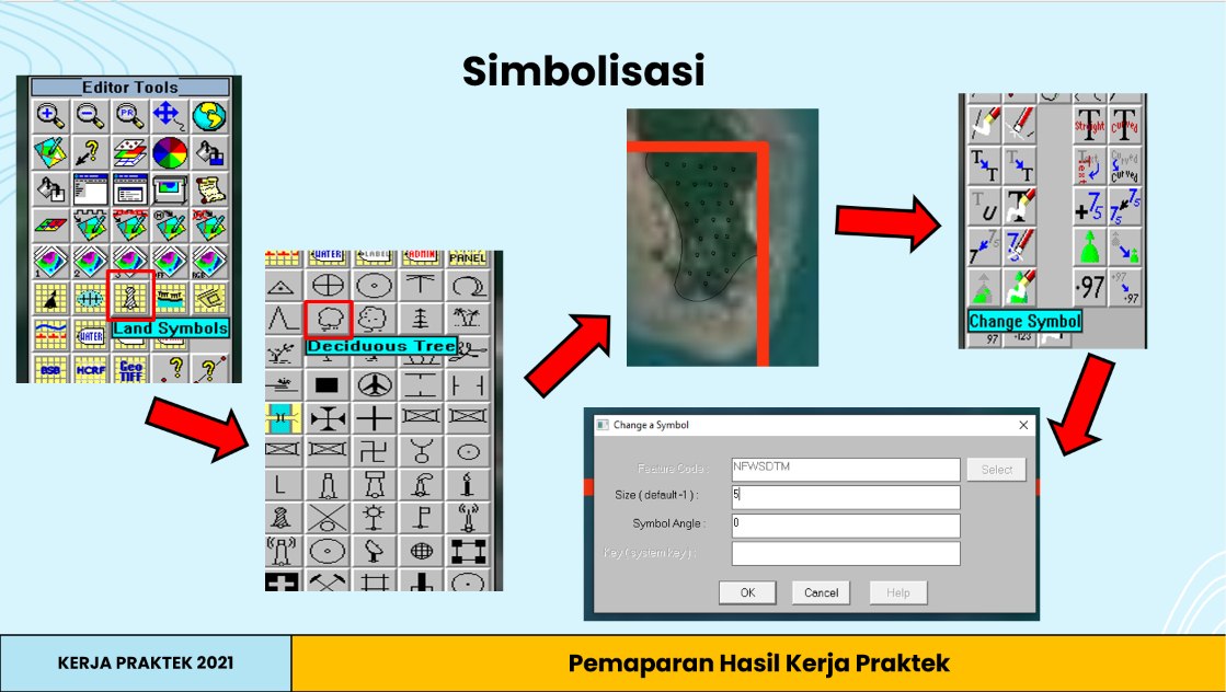
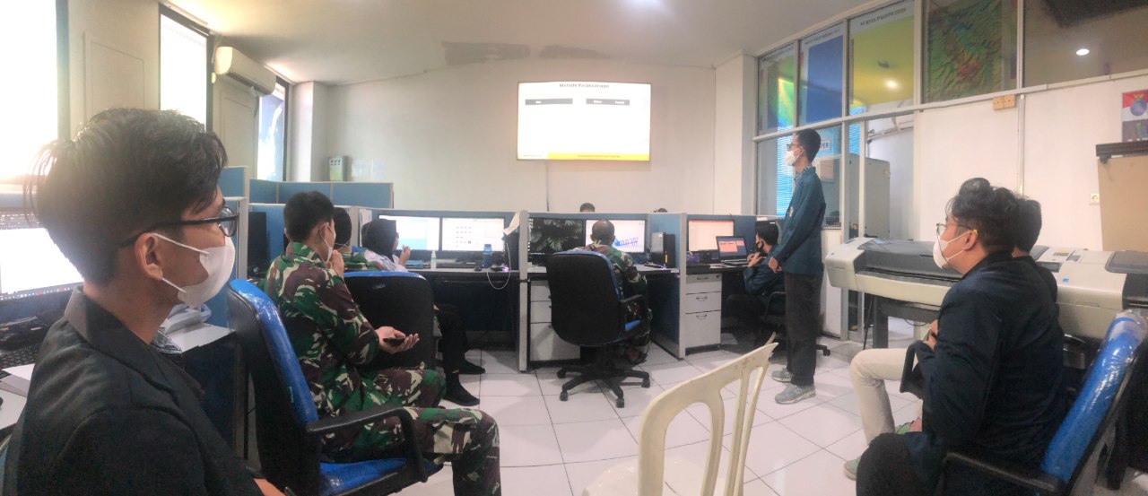
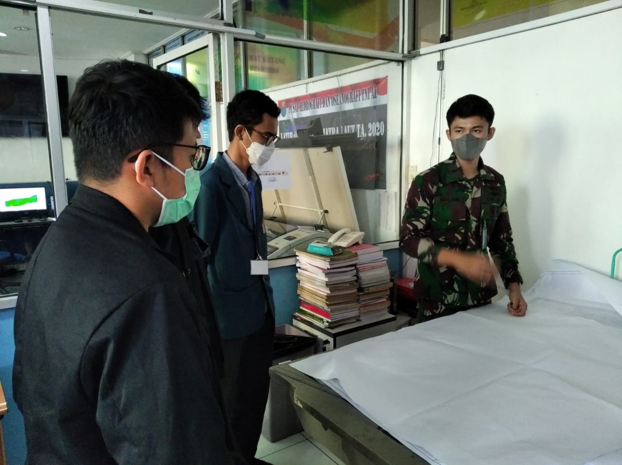
6 photosMultibeam echosounder data processed with CARIS HIPS and SIPS into 3D bathymetric maps for navigation, then presented to the Divisi Hidrografi of Pusat Hidro-Oseanografi TNI Angkatan Laut (PUSHIDROSAL). Survey area: Selat Riau, UTM zone 48N. A student reference number on the map sheet is masked.