Jul 2021 — Aug 2021
Hydrography Officer
Pusat Hidro-Oseanografi TNI Angkatan Laut (PUSHIDROSAL)Divisi Hidrografi
01
What I learned here
What survey data looks like before anyone has drawn a conclusion from it: raw soundings, tide corrections, and position fixes. Hydrographic work is unforgiving about documentation, because the chart that comes out of it is what a ship trusts.
02
The work, in summary
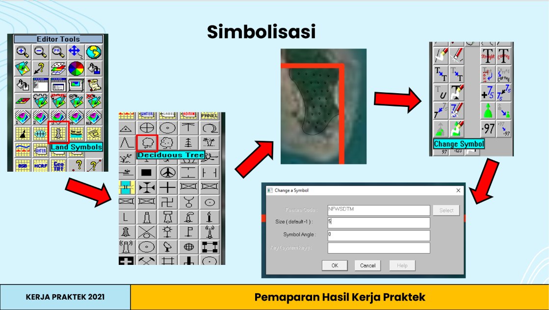
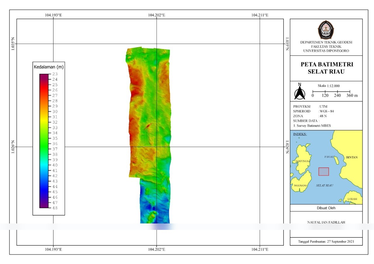
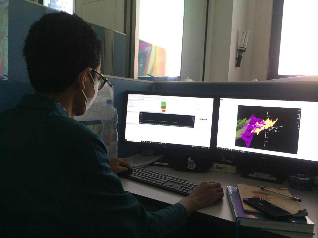
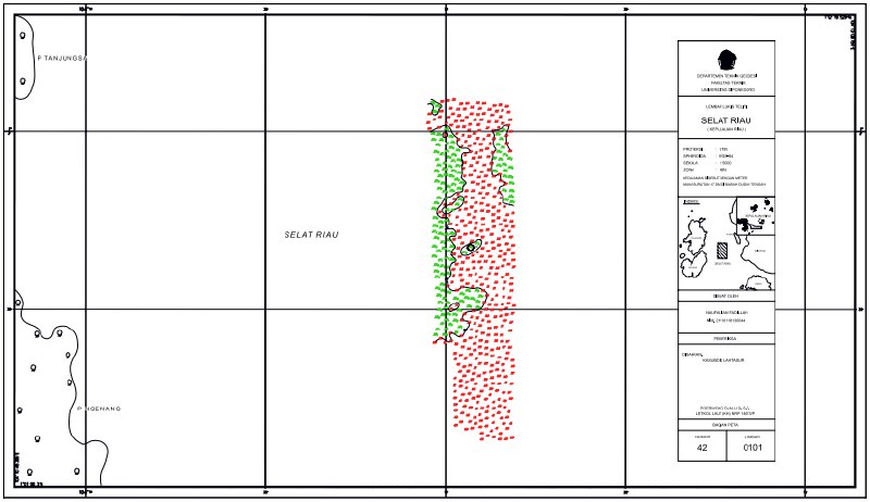
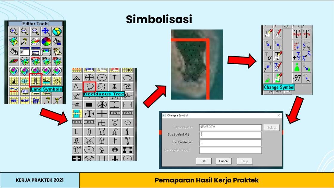
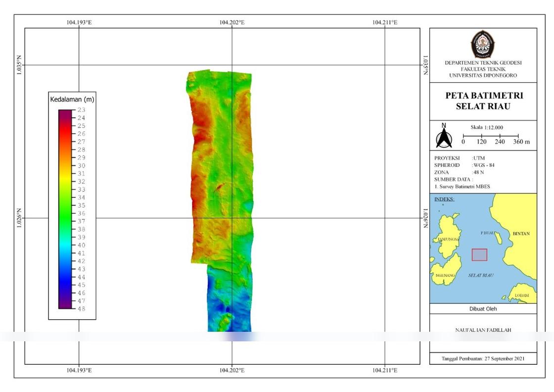
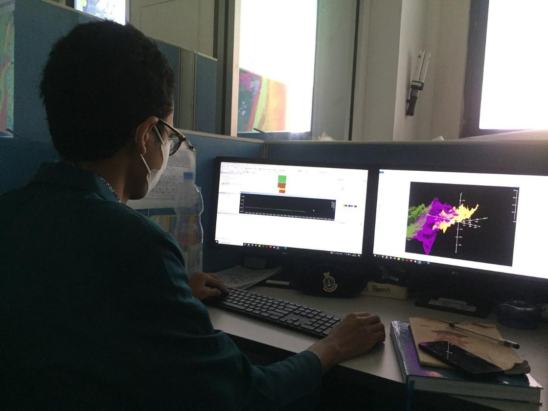
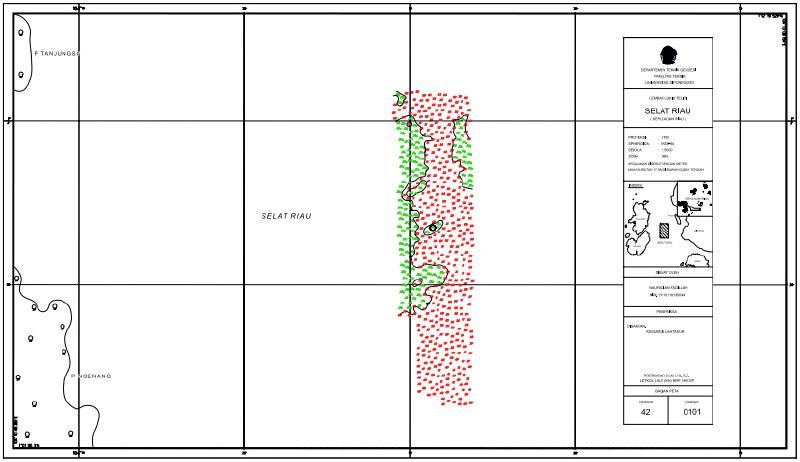
Processed multibeam echosounder data with CARIS HIPS and SIPS into 3D bathymetric maps for navigation. Survey area: Selat Riau, UTM zone 48N.
03
Achievements
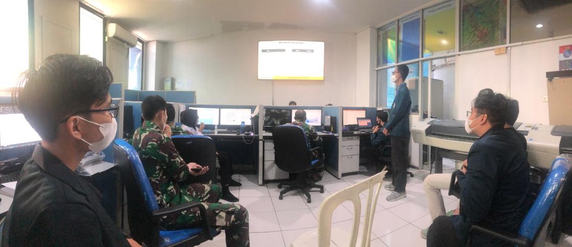
- Processed and visualised multibeam echosounder data into 3D bathymetric maps for navigation, and presented the findings to the Divisi Hidrografi. No service reference letter from this internship is published.
04
Documentation
Photographs from this period.
Multibeam echosounder processing, Selat Riau
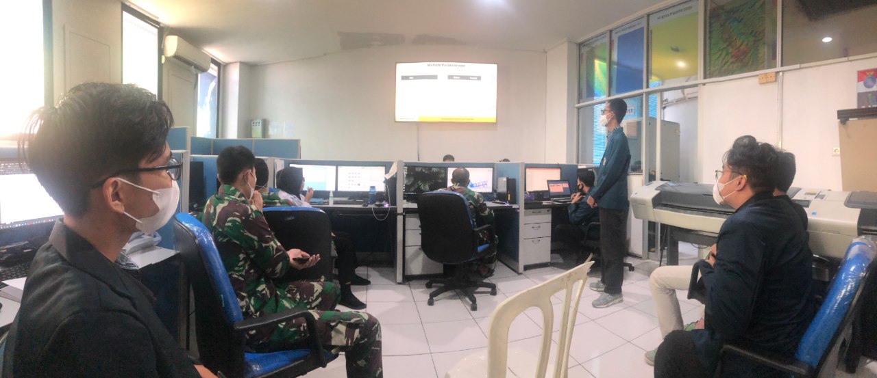
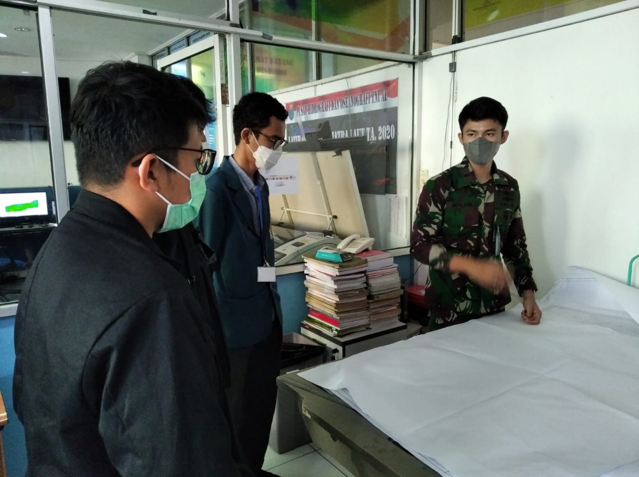
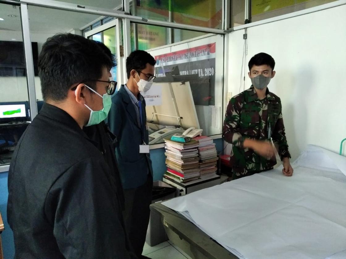
6 photosMultibeam echosounder data processed with CARIS HIPS and SIPS into 3D bathymetric maps for navigation, then presented to the Divisi Hidrografi of Pusat Hidro-Oseanografi TNI Angkatan Laut (PUSHIDROSAL). Survey area: Selat Riau, UTM zone 48N. A student reference number on the map sheet is masked.