GIS and Data Analyst
What I learned here
The geospatial side of a national programme, before the reporting systems existed. Working in the agency’s central data unit taught me what the programme’s data actually looks like at source — who enters it, where it breaks, and why a map is often the fastest way to find the fault.
The work, in summary
Geospatial and operational data work at the agency’s central data unit: spatial data preparation, thematic mapping, and the operational datasets the analytics team built on. This is also where I learned SQL and database management, and where the monitoring dashboards on Metabase were first built.
Achievements
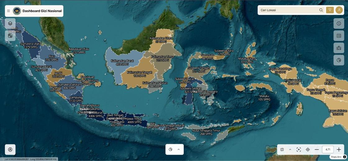
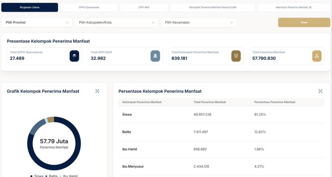
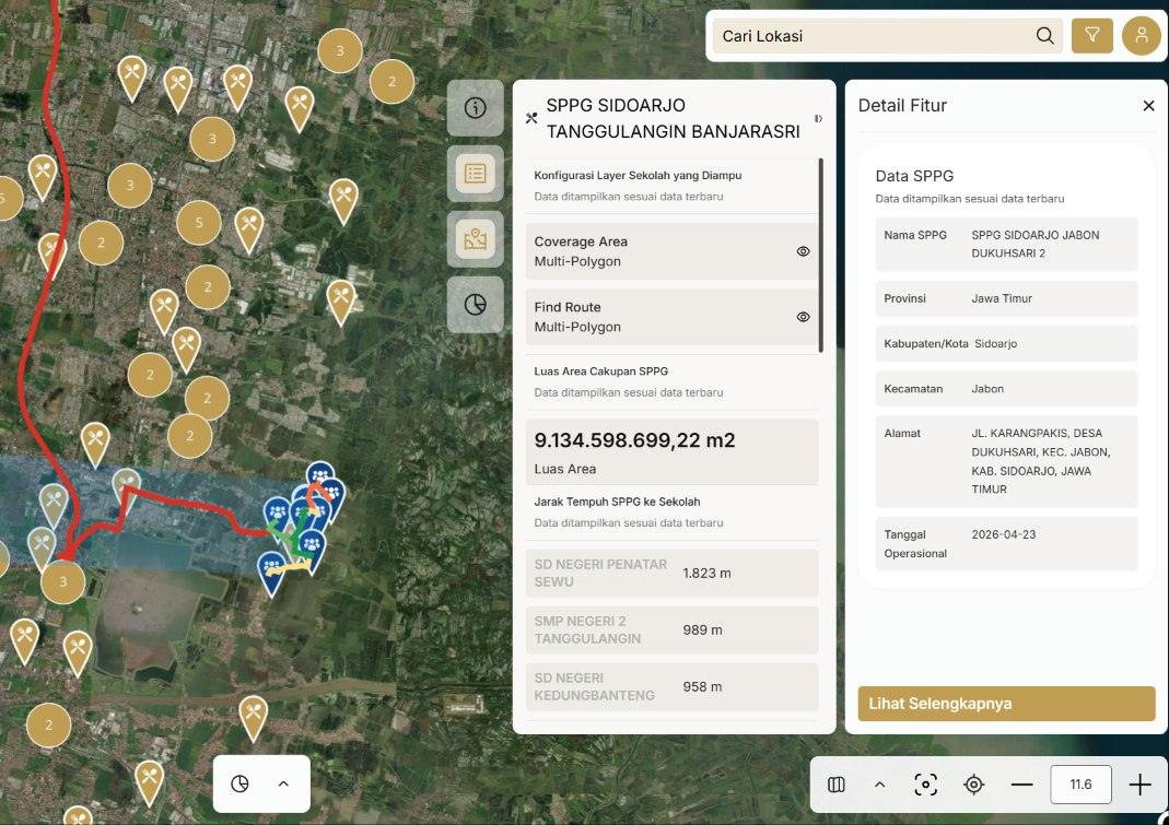
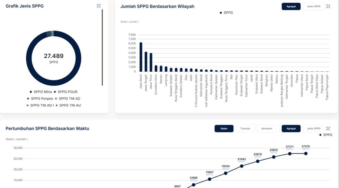
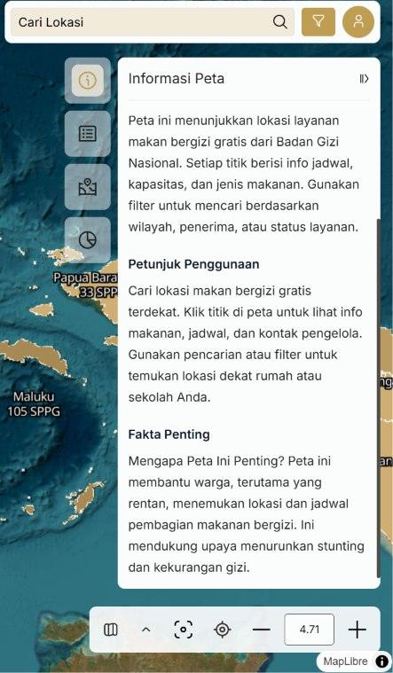
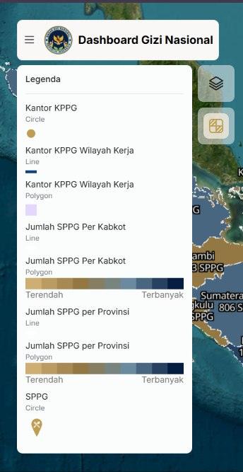
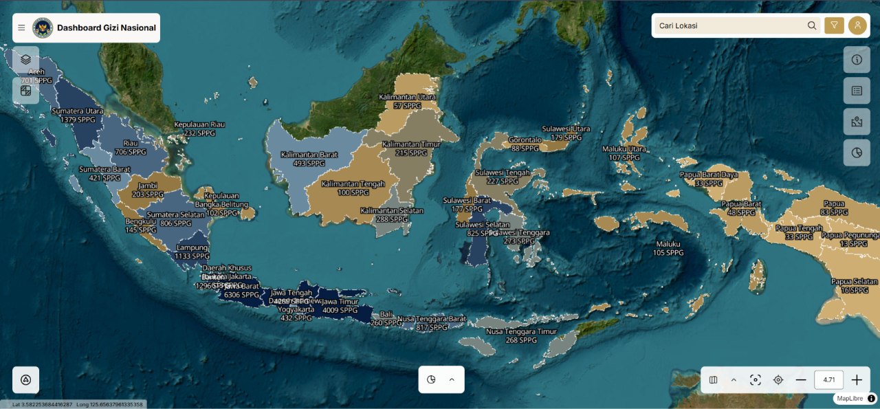
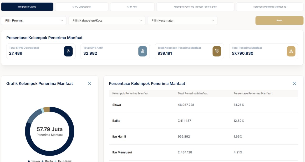
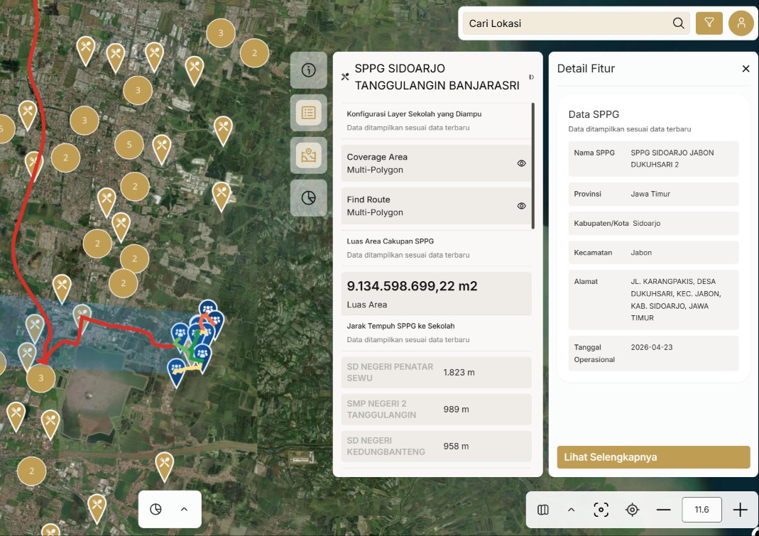
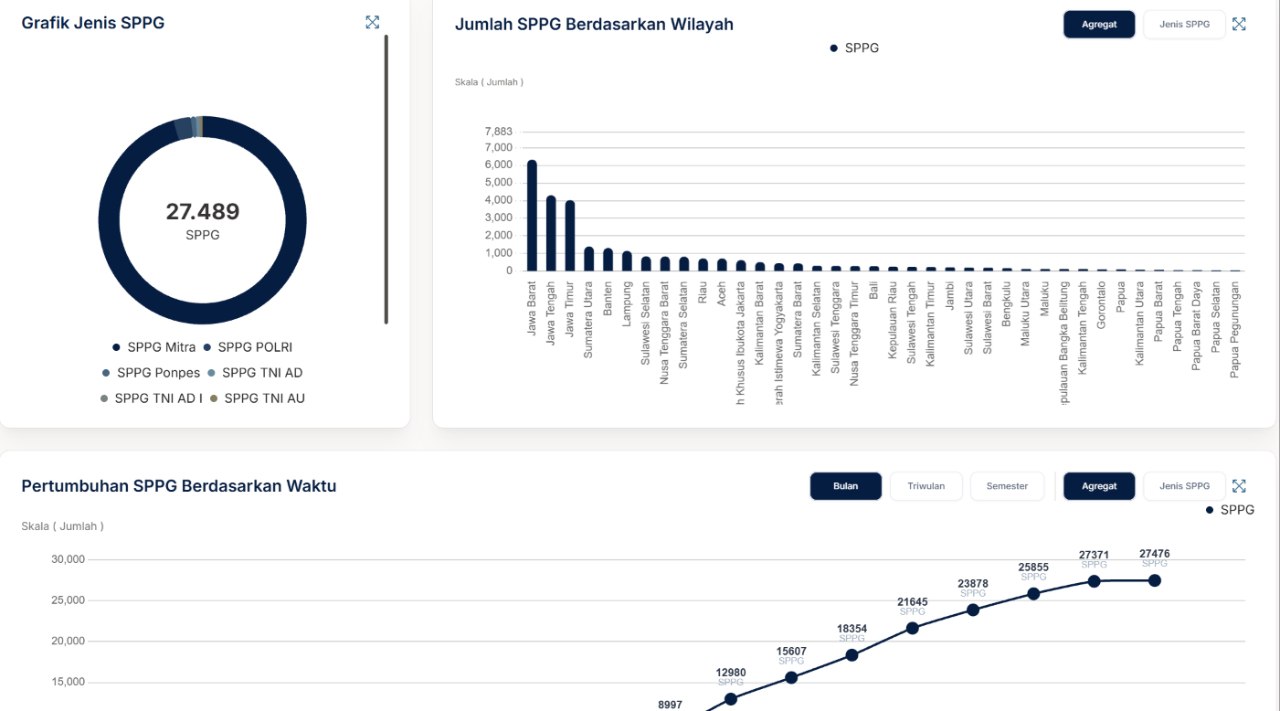
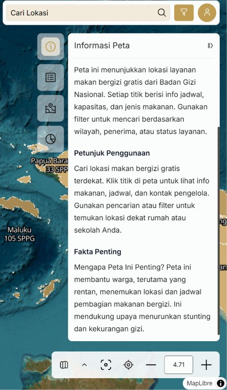
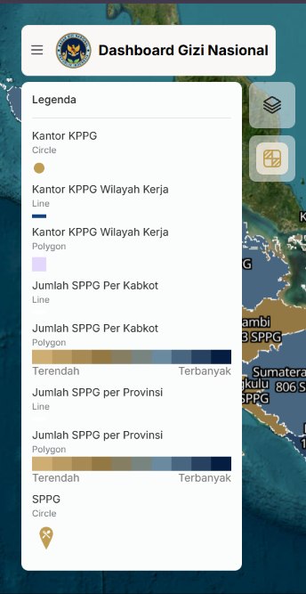
- Designed the concept and features of GINA, a geospatial platform for public access to programme data, including a distribution map down to province and district level, distance from each Satuan Pelayanan Pemenuhan Gizi (SPPG) unit to its schools, an executive dashboard covering SPPG, beneficiaries, and Sarjana Penggerak Pembangunan Indonesia (SPPI), and a tabular data menu with role-based downloads. The platform runs in active use behind a login; public release is pending approval and upstream data quality, both outside my scope.
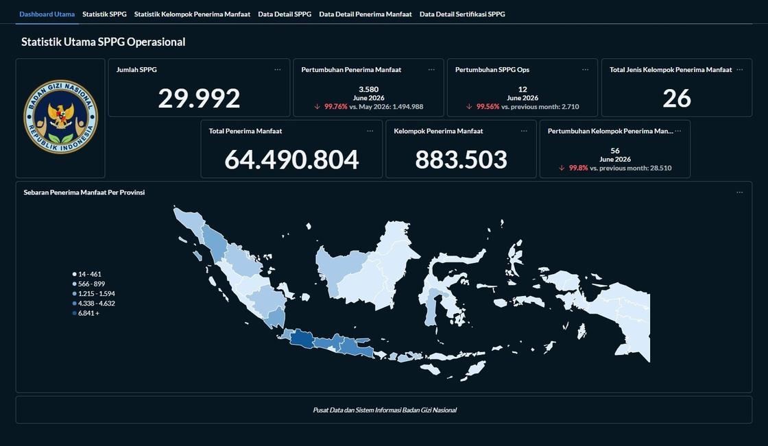
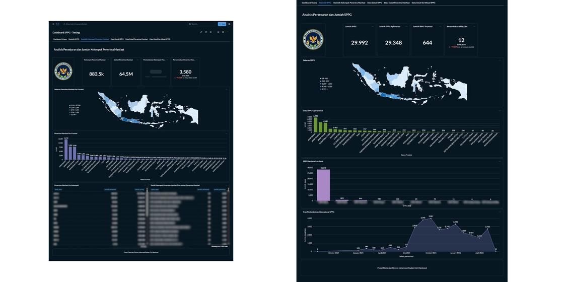
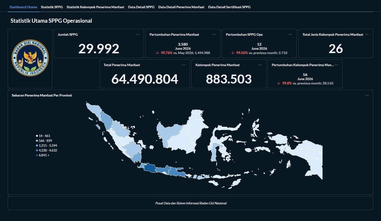
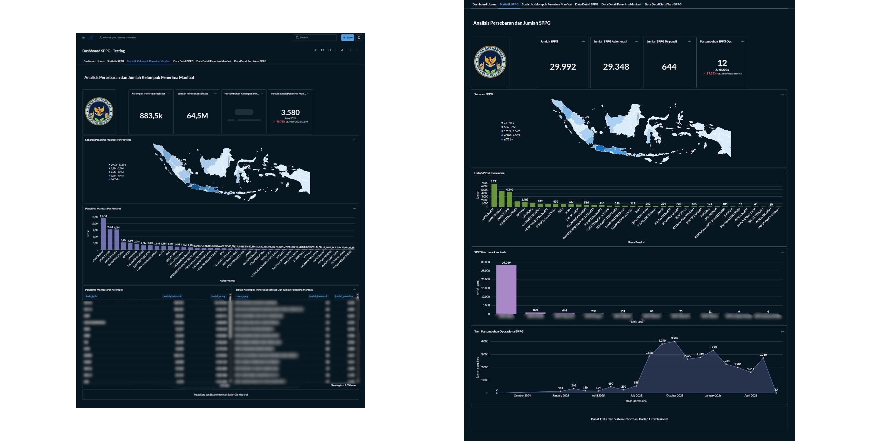
- Built and maintained the real-time operational dashboards on Metabase, consolidating data from multiple source systems into a transit layer that decision makers could filter directly.
- Worked on the spatial data and thematic mapping behind the programme’s early geospatial outputs, and completed ISO/IEC 27001:2022 awareness training for handling programme data.
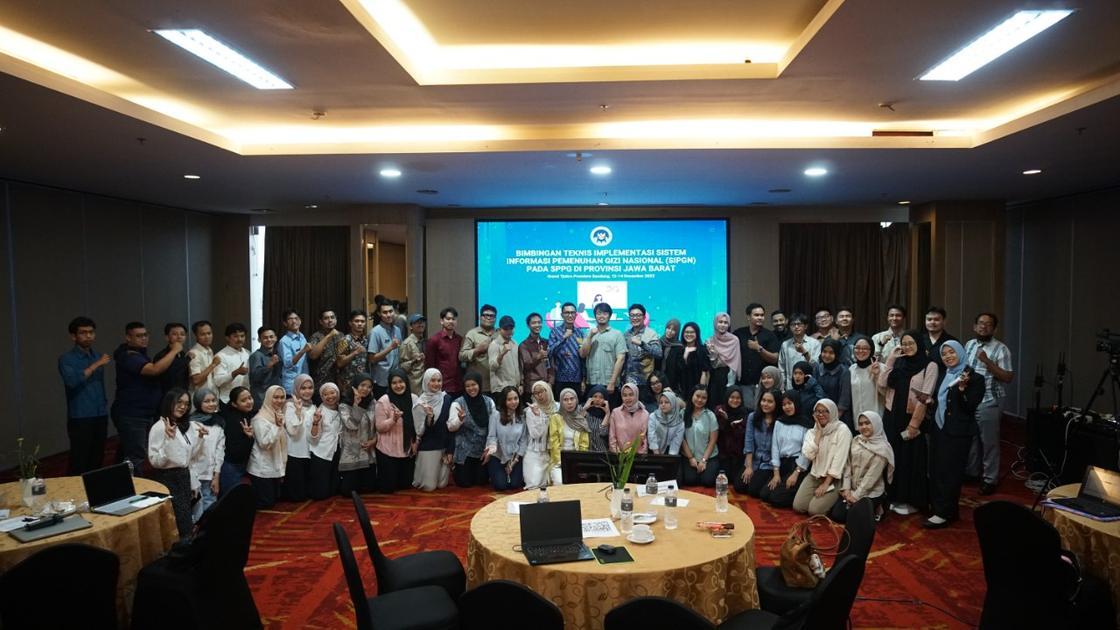
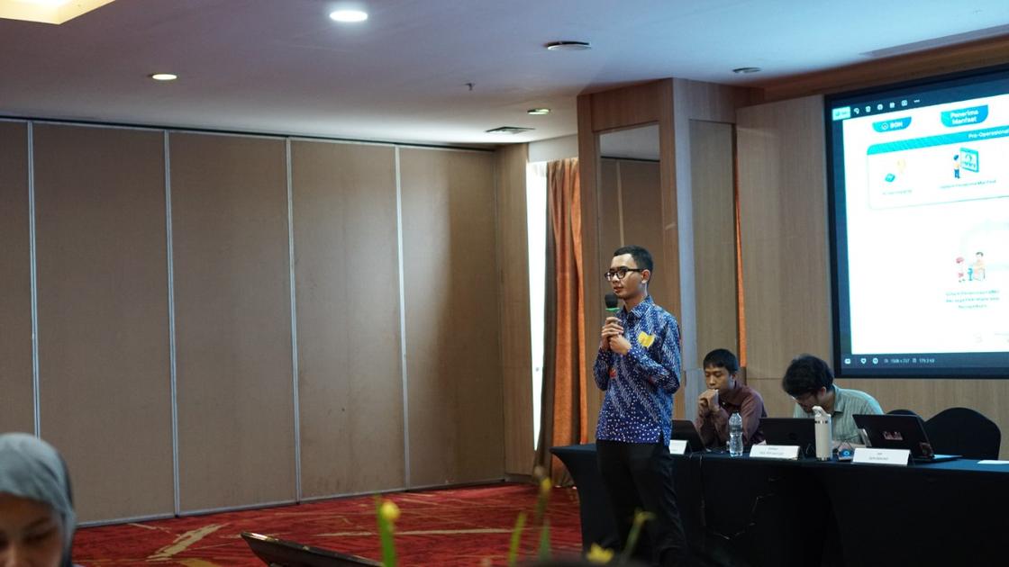
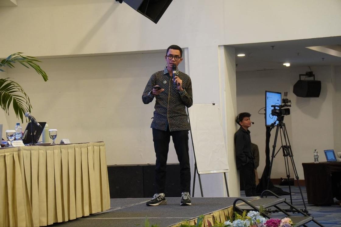
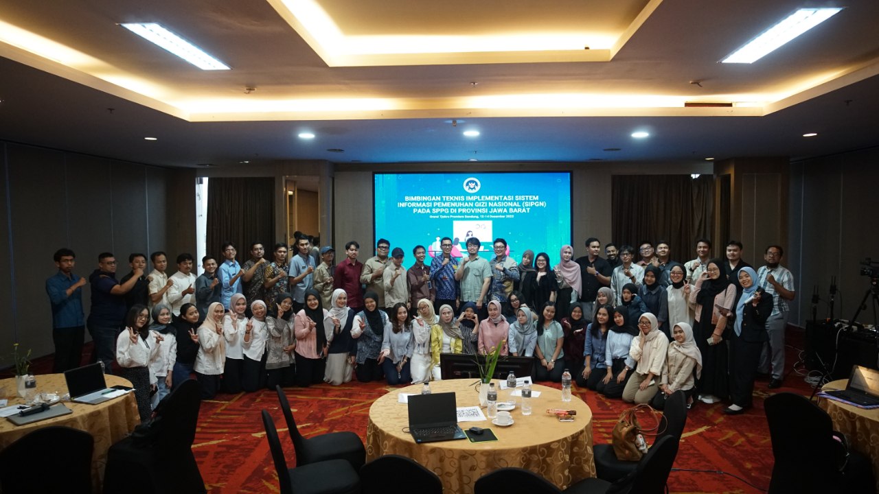
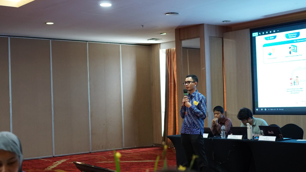
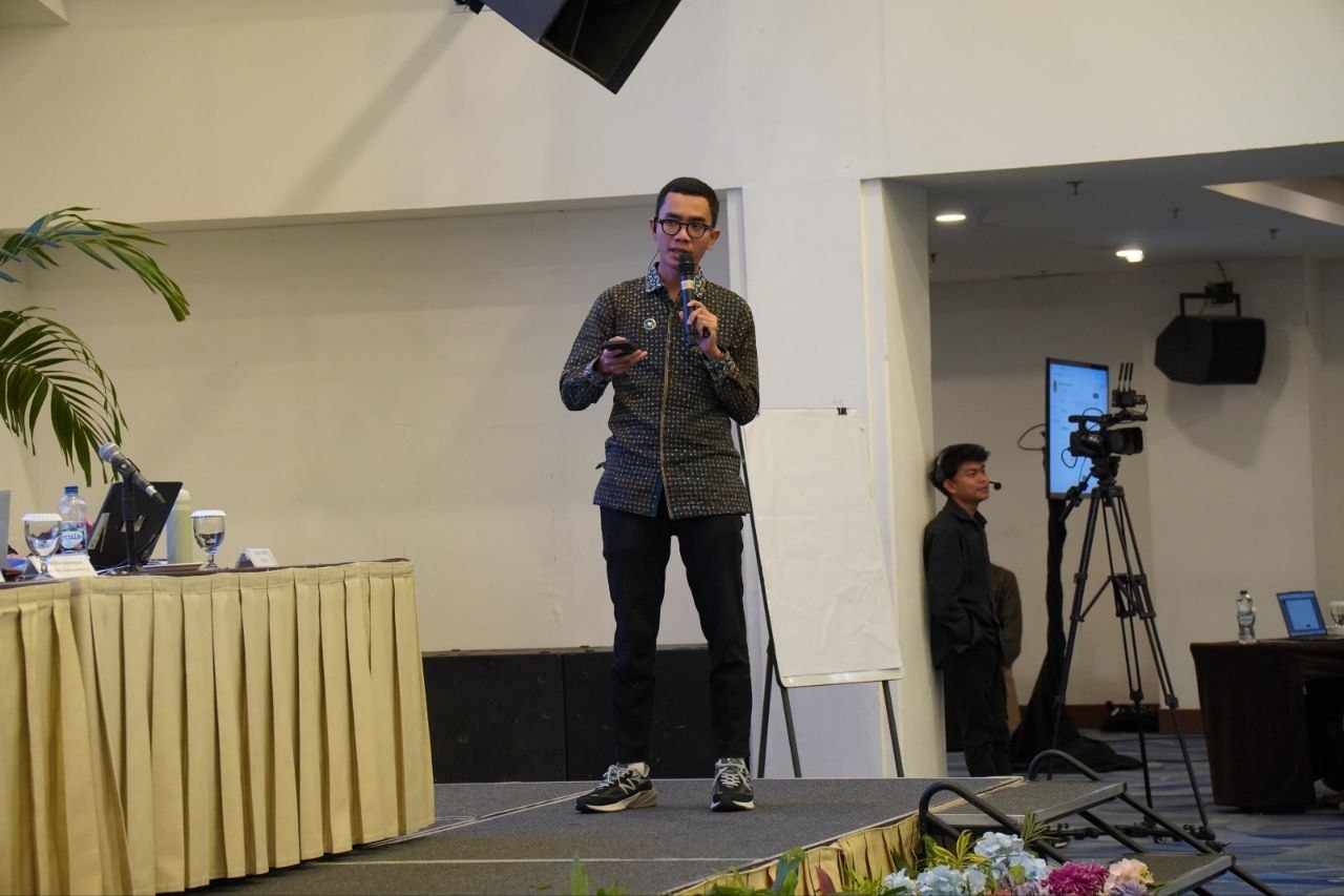
- Taught the Sourcing Management and ERP modules of Sistem Informasi Pemenuhan Gizi Nasional (SIPGN) to more than 100 participants from Satuan Pelayanan Pemenuhan Gizi (SPPG) units across West Java.
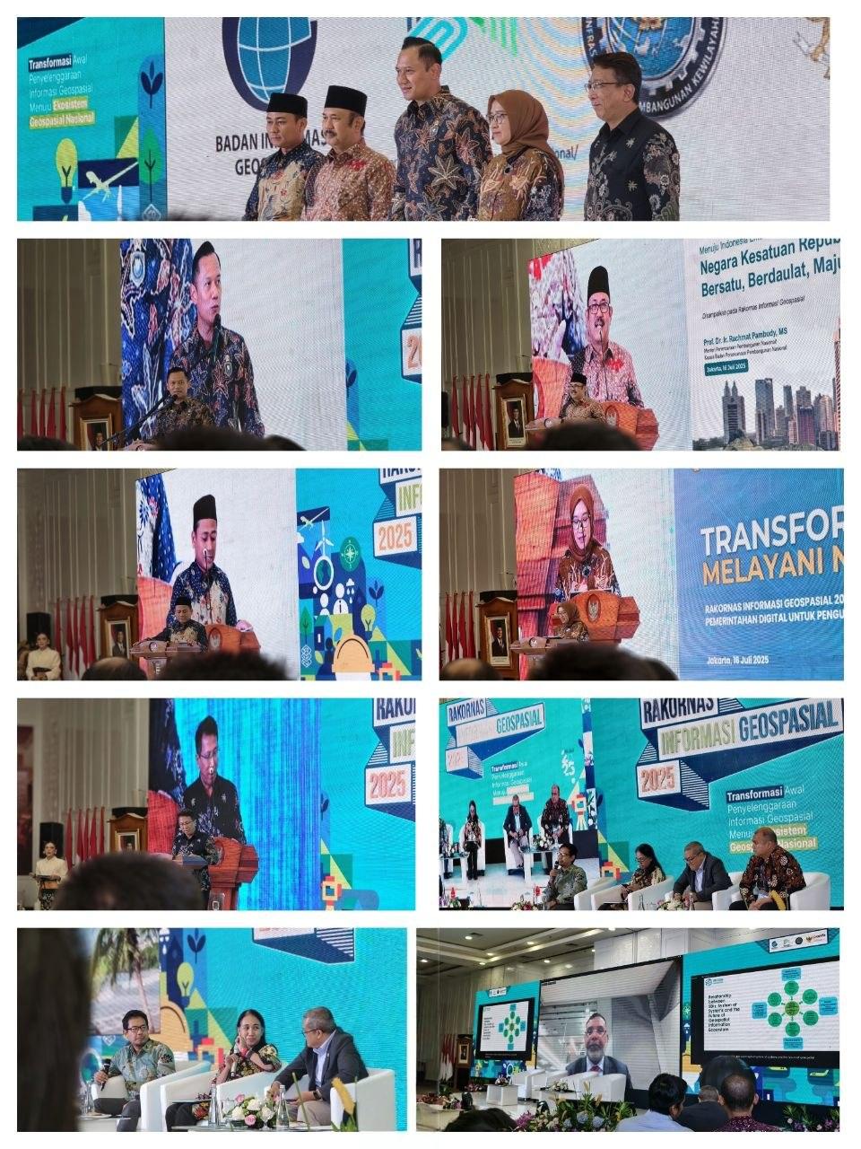
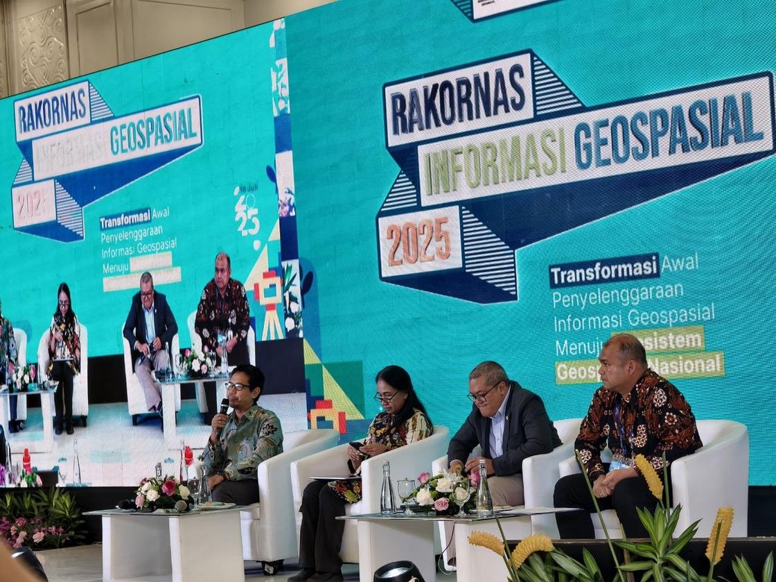
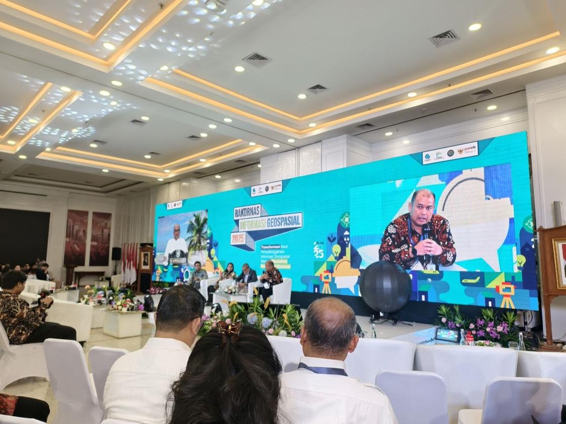
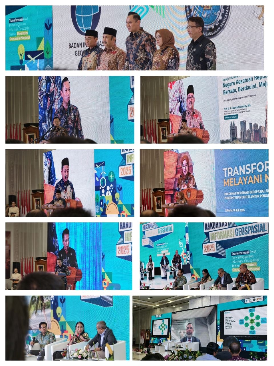
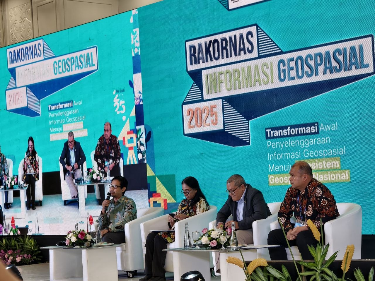
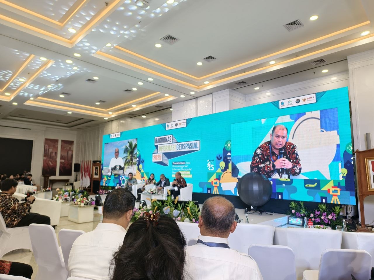
- Represented the agency at the 2025 national coordination meeting on geospatial information in Jakarta, held by Badan Informasi Geospasial.
Documentation
Photographs from this period.
GINA — geospatial platform for public programme data
8 photosConcept and feature design, and direction of the third-party development vendor: a map of SPPG locations with filters by province and district, point-level detail, and dashboard views of the programme’s distribution. Built so the public could answer its own questions instead of filing a request to the data team. Released to internal testing; not published publicly within my tenure.




Teaching the SIPGN modules
3 photosTaught the Sourcing Management and ERP modules of SIPGN — the agency’s own system for the programme — to more than 100 participants, in sessions for SPPG units across West Java, at Pusat Data dan Sistem Informasi, Badan Gizi Nasional. Internal transaction and beneficiary figures are not published.
Representing the agency at national forums
3 photosAttended the 2025 national coordination meeting on geospatial information in Jakarta, held by Badan Informasi Geospasial, on behalf of Badan Gizi Nasional — the agency’s only representative in the room where national geospatial policy was set.
Real-time operational dashboards on Metabase
2 photosSPPG delivery data arrives from API as wide, scattered database tables. I shape it into Metabase dashboards — SQL-based views that turn raw rows into delivery progress anyone in the agency can read at a glance.